File:Baie des Anges Nice plage.jpg
Size of this preview: 800 × 531 pixels. Other resolutions: 320 × 212 pixels | 640 × 425 pixels | 1,024 × 680 pixels | 1,280 × 850 pixels | 2,560 × 1,699 pixels | 4,254 × 2,824 pixels.
Original file (4,254 × 2,824 pixels, file size: 8.35 MB, MIME type: image/jpeg)
This is a file from the Wikimedia Commons and may be used by other projects. Information from its description page there is shown below. Commons is a freely licensed media file repository. |
Summary
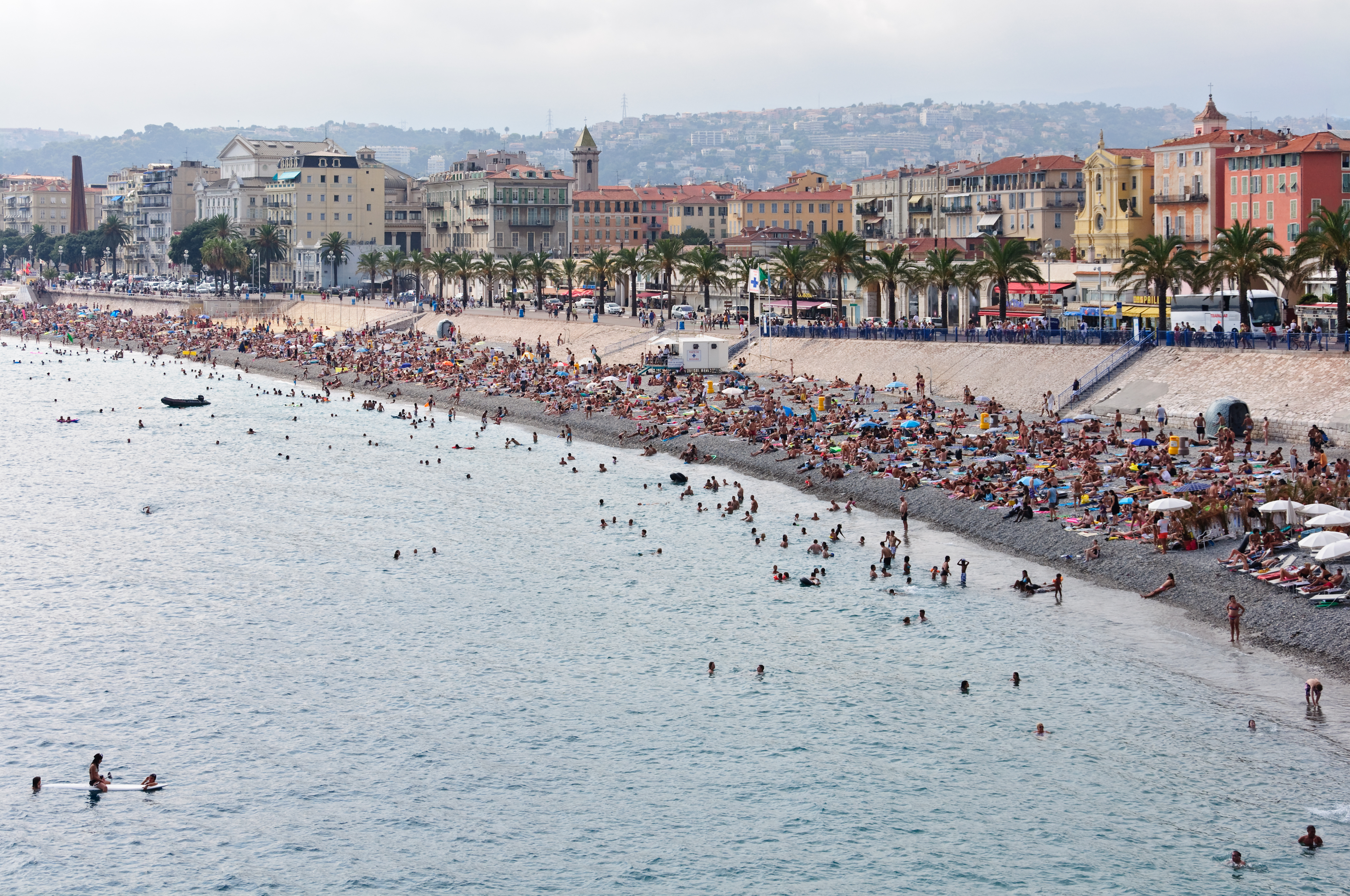
| Description | Français : La plage des Ponchettes en contrebas du quai des États-Unis à Nice (Alpes-Maritimes, France). English: Public beach below 'Quai des États-Unis' in Nice, French Riviera. |
| Date | |
| Source | Own work |
| Author | Myrabella |
| Attribution (required by the license) | Photo: Myrabella / Wikimedia Commons / |
| Camera location | | View this and other nearby images on: OpenStreetMap |
|---|
This image has been assessed using the Quality image guidelines and is considered a Quality image. |
Licensing
I, the copyright holder of this work, hereby publish it under the following licenses:
This file is licensed under the Creative Commons Attribution-Share Alike 3.0 Unported license.
- You are free:
- to share – to copy, distribute and transmit the work
- to remix – to adapt the work
- Under the following conditions:
- attribution – You must give appropriate credit, provide a link to the license, and indicate if changes were made. You may do so in any reasonable manner, but not in any way that suggests the licensor endorses you or your use.
- share alike – If you remix, transform, or build upon the material, you must distribute your contributions under the same or compatible license as the original.
 | Permission is granted to copy, distribute and/or modify this document under the terms of the GNU Free Documentation License, Version 1.2 or any later version published by the Free Software Foundation; with no Invariant Sections, no Front-Cover Texts, and no Back-Cover Texts. A copy of the license is included in the section entitled GNU Free Documentation License. |
You may select the license of your choice.
File history
Click on a date/time to view the file as it appeared at that time.
| Date/Time | Thumbnail | Dimensions | User | Comment | |
|---|---|---|---|---|---|
| current | 06:46, 15 October 2010 | | 4,254 × 2,824 (8.35 MB) | Myrabella | White balance slight adjustment—and trying to correct an error in the image title included in the metadata. |
| 21:44, 14 October 2010 |  | 4,254 × 2,824 (8.37 MB) | Myrabella | == {{int:filedesc}} == {{Information |Description= {{fr|1=La plage des Ponchettes en contrebas du quai des États-Unis à Nice (Alpes-Maritimes, France).}} {{en|1=Public beach below 'Quai des Etats-Unis' in Nice, French Rivier |
File usage
The following page uses this file:
Global file usage
The following other wikis use this file:
- Usage on az.wikipedia.org
- Usage on de.wikipedia.org
- Usage on es.wikivoyage.org
- Usage on fr.wikipedia.org
- Usage on ha.wikipedia.org
- Usage on hy.wikipedia.org
- Usage on it.wikivoyage.org
- Usage on ja.wikipedia.org
- Usage on ja.wikivoyage.org
- Usage on sv.wikipedia.org
- Usage on vi.wikipedia.org
- Usage on www.wikidata.org
Metadata
🔥 Popular: Main PageSpecial:SearchPuriWiki Travel:AboutWiki Travel:HelpAshburn (Virginia)BuffaloWiki Travel:Travellers' pubSharjahSouth DakotaAbu Dhabi International AirportList of country calling codesUnited States of AmericaTalk:English language varietiesSpecial:RecentChangesSnorkelingWiki Travel:Votes for undeletion/ArchivesPan-American HighwayViennaLagunaEuropeNorth AmericaCategory:Articles with dead external linksAsiaNew York CityToronto/IslandsEastern IndiaJapanQuezon City/CubaoItalyRas Al KhaimahCourtenayMuvattupuzhaGermanyParisMoroccoAhmedabadPhilippinesGrand Trunk RoadThailandWestern IndiaFrancePortugalSingaporeCaviteTalk:Public transportationJohor BahruSulphur (Oklahoma)AluvaBohemiaChinaVienna/LandstraßeKolkata/EsplanadeTokyoIndiaDestinationsSouthern CaliforniaDanubeAfricaKodaikanalTorres del Paine National ParkCroatiaNouakchottSan GermánCentral AmericaHanoiLindosTurkish Republic of Northern CyprusCentral African RepublicNegros OccidentalNew ZealandLos AngelesTurkmenistanSpecial:MyTalkTagaytayModenaAlbaniaManaliSouth America