File:LocationCataloniaInEurope.png
Jump to navigation
Jump to search

Size of this preview: 571 × 600 pixels. Other resolutions: 228 × 240 pixels | 457 × 480 pixels | 952 × 1,000 pixels.
Original file (952 × 1,000 pixels, file size: 44 KB, MIME type: image/png)
Captions
Captions
Add a one-line explanation of what this file represents
Summary[edit]
| Description |
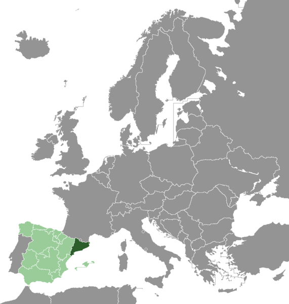
Українська: Каталонія (яскраво-зеленим) |
| Date | 29 September 2006 (original upload date) |
| Source | No machine-readable source provided. Own work assumed (based on copyright claims). |
| Author | No machine-readable author provided. Martorell assumed (based on copyright claims). |
Licensing[edit]
Made from: Image:LocationGermanyInEurope.png and Image:LocationSpainInEurope.png created by Wiki-vr.
I, the copyright holder of this work, hereby publish it under the following license:

|
Permission is granted to copy, distribute and/or modify this document under the terms of the GNU Free Documentation License, Version 1.2 or any later version published by the Free Software Foundation; with no Invariant Sections, no Front-Cover Texts, and no Back-Cover Texts. A copy of the license is included in the section entitled GNU Free Documentation License. |
| This file is licensed under the Creative Commons Attribution-Share Alike 3.0 Unported license. | ||
| ||
| This licensing tag was added to this file as part of the GFDL licensing update. |
File history
Click on a date/time to view the file as it appeared at that time.
| Date/Time | Thumbnail | Dimensions | User | Comment | |
|---|---|---|---|---|---|
| current | 12:41, 12 September 2014 | | 952 × 1,000 (44 KB) | Fobos92 (talk | contribs) | . |
| 12:39, 12 September 2014 |  | 952 × 1,000 (44 KB) | Fobos92 (talk | contribs) | . | |
| 10:57, 29 September 2006 |  | 415 × 422 (34 KB) | Martorell (talk | contribs) | Correcting colours of Balearic Islands | |
| 10:55, 29 September 2006 |  | 415 × 422 (35 KB) | Martorell (talk | contribs) | Correcting borders of Madrilean Autonomous Community | |
| 10:34, 29 September 2006 |  | 415 × 422 (39 KB) | Martorell (talk | contribs) | Category:Maps of Catalonia |
You cannot overwrite this file.
File usage on Commons
The following 2 pages use this file:
File usage on other wikis
The following other wikis use this file:
- Usage on als.wikipedia.org
- Usage on ar.wikipedia.org
- Usage on bat-smg.wikipedia.org
- Usage on be.wikipedia.org
- Usage on cdo.wikipedia.org
- Usage on cs.wikipedia.org
- Usage on en.wikipedia.org
- Usage on en.wiktionary.org
- Usage on fr.wikipedia.org
- Usage on fy.wikipedia.org
- Usage on he.wikipedia.org
- Usage on hy.wikipedia.org
- Usage on id.wikipedia.org
- Usage on it.wikipedia.org
- Usage on ja.wikipedia.org
- Usage on kk.wikipedia.org
- Usage on ko.wikipedia.org
- Usage on kw.wikipedia.org
- Usage on lmo.wikipedia.org
- Usage on mk.wikipedia.org
- Usage on mzn.wikipedia.org
- Usage on outreach.wikimedia.org
- Usage on pms.wikipedia.org
- Usage on pt.wikipedia.org
- Usage on ro.wikipedia.org
- Usage on ru.wikipedia.org
- Usage on so.wikipedia.org
- Usage on tr.wikipedia.org
- Usage on uk.wikipedia.org
- Usage on war.wikipedia.org
- Usage on yi.wikipedia.org
- Usage on zh.wikipedia.org