File:World location map (equirectangular 180).svg
Jump to navigation
Jump to search

Size of this PNG preview of this SVG file: 800 × 400 pixels. Other resolutions: 320 × 160 pixels | 640 × 320 pixels | 1,024 × 512 pixels | 1,280 × 640 pixels | 2,560 × 1,279 pixels | 2,521 × 1,260 pixels.
Original file (SVG file, nominally 2,521 × 1,260 pixels, file size: 4.19 MB)
Captions
Captions
Add a one-line explanation of what this file represents
Summary[edit]
.svg&action=edit§ion=1)
| Description |
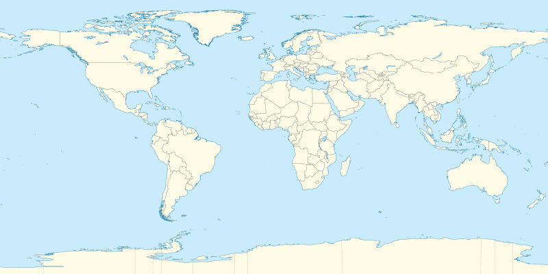
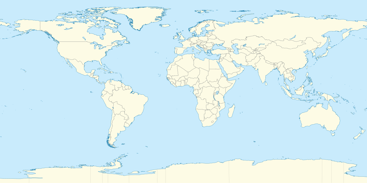
Deutsch: Positionskarte der Welt. Plattkarte von 180° Ost bis 180° West und von 90° Nord bis 90° Süd
English: Location map of the world. Equirectangular projection from 180°E to 180°W and from 90°S to 90°N |
| Date | |
| Source |
Own work |
| Author |
TUBS |
| Other versions | Derivative works of this file: Weltumrundung Elly Beinhorn 1932.png |
| SVG development | This oversized W3C-invalid world map was created with Adobe Illustrator by TUBS. |
Licensing[edit]
.svg&action=edit§ion=2)
I, the copyright holder of this work, hereby publish it under the following licenses:
This file is licensed under the Creative Commons Attribution-Share Alike 3.0 Unported license.
- You are free:
- to share – to copy, distribute and transmit the work
- to remix – to adapt the work
- Under the following conditions:
- attribution – You must give appropriate credit, provide a link to the license, and indicate if changes were made. You may do so in any reasonable manner, but not in any way that suggests the licensor endorses you or your use.
- share alike – If you remix, transform, or build upon the material, you must distribute your contributions under the same or compatible license as the original.

|
Permission is granted to copy, distribute and/or modify this document under the terms of the GNU Free Documentation License, Version 1.2 or any later version published by the Free Software Foundation; with no Invariant Sections, no Front-Cover Texts, and no Back-Cover Texts. A copy of the license is included in the section entitled GNU Free Documentation License. |
You may select the license of your choice.

|
I'd greatly appreciate, that you attribute this media file to Wikimedia Commons, if used outside Wikipedia or Commons. For use in publications such as books, newspapers, blogs, websites, please insert here the following line:
|
.svg)
File history
Click on a date/time to view the file as it appeared at that time.
| Date/Time | Thumbnail | Dimensions | User | Comment | |
|---|---|---|---|---|---|
| current | 19:31, 9 September 2011 | | 2,521 × 1,260 (4.19 MB) | TUBS (talk | contribs) | {{Information |Description=={{de|Positionskarte der Welt. Plattkarte von 180° Ost bis 180° West und von 90° Nord bis 90° Süd }} {{en|Location map of the world. [[:en:Equirectangular projection|Equirectan |
You cannot overwrite this file.
File usage on Commons
The following 8 pages use this file:
- Commons:Files used on RegiowikiAT/12
- Commons:Files used on Wikimedia Österreich Mitglieder/2
- File:Americas location map with borders.svg
- File:Gran Premio de la America del Sur del TC.jpg
- File:Tropical cyclone basins.svg
- File:Tropical cyclone region(grey).svg
- File:Weltumrundung Elly Beinhorn 1932.png
- File:World location map (equirectangular 180).svg
.svg)
.svg)
File usage on other wikis
The following other wikis use this file:
- Usage on af.wikipedia.org
- Etna
- Groep van 20
- Teide
- Vesuvius
- Mauna Loa
- Nyiragongo
- Sjabloon:Liggingkaart Aarde
- Sjabloon:Dekadevulkane-kaart
- Dekadevulkaan
- Taalvulkaan
- Korjakski
- Awatsjinski
- Sjabloon:Dekadevulkane-kaart/doc
- Ulawun
- Merapi
- Unzen
- Santorini-kaldera
- Sakurajima
- Santa María (vulkaan)
- Rainier (berg)
- Galeras
- Volcán de Colima
- Usage on als.wikipedia.org
- Vorlage:Positionskarte Polen
- Vorlage:Positionskarte Schweden
- Vorlage:Positionskarte Frankreich
- Vorlage:Positionskarte/Info
- Vorlage:Positionskarte Deutschland
- Vorlage:Positionskarte Liechtenstein
- Vorlage:Positionskarte Schweiz
- Vorlage:Positionskarte Deutschland Baden-Württemberg
- Vorlage:Positionskarte Italien
- Vorlage:Positionskarte Ungarn
- Vorlage:Positionskarte Deutschland Bayern
- Vorlage:Positionskarte Österreich
- Vorlage:Positionskarte Albanien
- Vorlage:Positionskarte Kroatien
- Vorlage:Positionskarte Israel
- Vorlage:Positionskarte Ukraine
- Vorlage:Positionskarte Kenia
- Vorlage:Positionskarte Nigeria
- Vorlage:Positionskarte Belgien
- Vorlage:Positionskarte Erde
- Vorlage:Positionskarte Papua-Neuguinea
- Vorlage:Positionskarte Schweiz Aargau
- Vorlage:Positionskarte Estland
- Vorlage:Positionskarte Ägypten
- Vorlage:Positionskarte Bahrain
- Vorlage:Positionskarte Elfenbeinküste
- Vorlage:Positionskarte Türkei
- Vorlage:Positionskarte Griechenland
View more global usage of this file.
.svg)
.svg&oldid=854464928)