File:Isle of Wight UK locator map 2010.svg
Jump to navigation
Jump to search

Size of this PNG preview of this SVG file: 494 × 600 pixels. Other resolutions: 198 × 240 pixels | 395 × 480 pixels | 633 × 768 pixels | 843 × 1,024 pixels | 1,687 × 2,048 pixels | 1,108 × 1,345 pixels.
Original file (SVG file, nominally 1,108 × 1,345 pixels, file size: 302 KB)
Captions
Captions
Add a one-line explanation of what this file represents
Summary[edit]
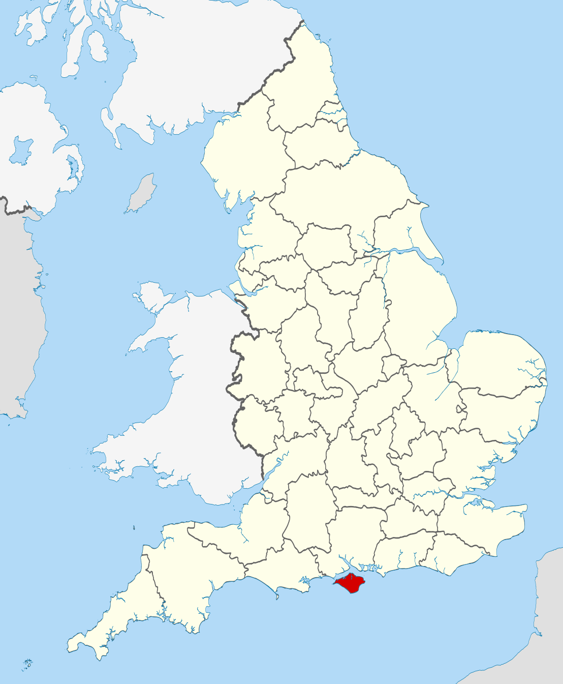
| Description | Location of the ceremonial county of the Isle of Wight within England. |
| Date | |
| Source |
National Geospatial-Intelligence Agency
|
| Author | Nilfanion |
Licensing[edit]
I, the copyright holder of this work, hereby publish it under the following licenses:
This file is licensed under the Creative Commons Attribution-Share Alike 3.0 Unported license.
- You are free:
- to share – to copy, distribute and transmit the work
- to remix – to adapt the work
- Under the following conditions:
- attribution – You must give appropriate credit, provide a link to the license, and indicate if changes were made. You may do so in any reasonable manner, but not in any way that suggests the licensor endorses you or your use.
- share alike – If you remix, transform, or build upon the material, you must distribute your contributions under the same or compatible license as the original.

|
Permission is granted to copy, distribute and/or modify this document under the terms of the GNU Free Documentation License, Version 1.2 or any later version published by the Free Software Foundation; with no Invariant Sections, no Front-Cover Texts, and no Back-Cover Texts. A copy of the license is included in the section entitled GNU Free Documentation License. |
You may select the license of your choice.

|
This is one of the images forming part of the Valued image set: Locator maps of the Ceremonial counties of England on Wikimedia Commons. The image set has been assessed under the valued image set criteria and is considered the most valued set on Commons within the scope:
Locator maps of the Ceremonial counties of England
You can see its nomination at Commons:Valued image candidates/Locator maps of English ceremonial counties. |
File history
Click on a date/time to view the file as it appeared at that time.
| Date/Time | Thumbnail | Dimensions | User | Comment | |
|---|---|---|---|---|---|
| current | 22:38, 23 November 2010 | | 1,108 × 1,345 (302 KB) | Nilfanion (talk | contribs) | == Summary == {{Information |Description=Location of the ceremonial county of the Isle of Wight within England. |Source=Ordnance Survey [https://www.ordnancesurvey.co.uk/opendatadownload/products.html OpenData]: * |
You cannot overwrite this file.
File usage on Commons
The following 16 pages use this file:
- Valued image set: Locator maps of the Ceremonial counties of England
- Commons:Valued image candidates/Locator maps of English ceremonial counties
- Category:Births in the Isle of Wight
- Category:Civil parishes in the Isle of Wight
- Category:Deaths in the Isle of Wight
- Category:Economy of the Isle of Wight
- Category:Former civil parishes in the Isle of Wight
- Category:Hospitals on the Isle of Wight
- Category:Isle of Wight
- Category:Meadows on the Isle of Wight
- Category:People of the Isle of Wight
- Category:Populated places in the Isle of Wight
- Category:Towns in the Isle of Wight
- Category:Views of the Isle of Wight
- Category:Villages on the Isle of Wight
- Category:Windmills on the Isle of Wight
File usage on other wikis
The following other wikis use this file:
- Usage on af.wikipedia.org
- Usage on ang.wikipedia.org
- Usage on ar.wikipedia.org
- Usage on ast.wikipedia.org
- Usage on az.wikipedia.org
- Usage on be-tarask.wikipedia.org
- Usage on bg.wikipedia.org
- Usage on bn.wikipedia.org
- Usage on br.wikipedia.org
- Usage on ca.wikipedia.org
- Usage on ceb.wikipedia.org
- Usage on cs.wikipedia.org
- Usage on de.wikipedia.org
- Usage on el.wikipedia.org
- Usage on en.wikipedia.org
- Isle of Wight
- River Medina
- Isle of Wight National Landscape
- Medina, Isle of Wight
- South Wight
- Alverstone Mead
- Borthwood Copse
- Fishbourne, Isle of Wight
- Wootton Creek
- Wroxall, Isle of Wight
- Western Yar
- Eastern Yar
- Parkhurst Forest
- Totland
- Cranmore, Isle of Wight
- Hamstead, Isle of Wight
- Easton, Isle of Wight
- Brook, Isle of Wight
- Wellow, Isle of Wight
- Thorley Street
- Blackwater, Isle of Wight
- Kingston, Isle of Wight
- Gatcombe
- Shorwell
- Newchurch, Isle of Wight
- Adgestone
- Rew Street
- Porchfield
- Whippingham
- Rookley
- Yafford
- Bowcombe
- Newtown Bay
View more global usage of this file.