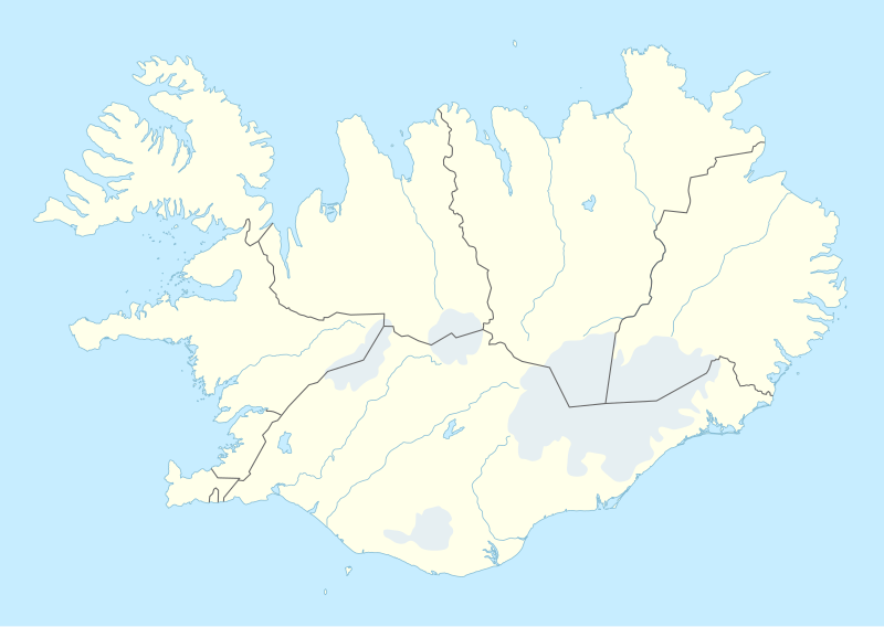
File:Iceland adm location map.svg

Original file (SVG file, nominally 1,186 × 841 pixels, file size: 145 KB)
Captions
Captions
Summary[edit]
| Description |
Deutsch: Positionskarte von Island
English: Location map of Iceland
|
||||||||||||
| Date | |||||||||||||
| Source |
Own work using:
|
||||||||||||
| Author | NordNordWest | ||||||||||||

|
This map has been made or improved in the German Kartenwerkstatt (Map Lab). You can propose maps to improve as well.
|
Licensing[edit]
Usage of this file with:

explanatory notes: Legally binding is only the full legalcode. For a free usage I recommend to respect the following licence conditions:
1. Provide my name as given above: NordNordWest,
2. a copy of, or the URI for, the applicable license: https://creativecommons.org/licenses/by-sa/3.0/de/legalcode,
3. the title of the work,
4. in the case of an adaptation, a credit identifying the use of the work in the adaptation.
This license and the rights granted hereunder will terminate automatically upon any breach by you of the terms of this license. Any of the above conditions can be waived if you get permission from the copyright holder. If you have questions or wish differing conditions, please contact me through nnwest or my discussion page ![]() t-online.de
t-online.de
- You are free:
- to share – to copy, distribute and transmit the work
- to remix – to adapt the work
- Under the following conditions:
- attribution – You must give appropriate credit, provide a link to the license, and indicate if changes were made. You may do so in any reasonable manner, but not in any way that suggests the licensor endorses you or your use.
- share alike – If you remix, transform, or build upon the material, you must distribute your contributions under the same or compatible license as the original.

File history
Click on a date/time to view the file as it appeared at that time.
| Date/Time | Thumbnail | Dimensions | User | Comment | |
|---|---|---|---|---|---|
| current | 18:25, 11 November 2022 | | 1,186 × 841 (145 KB) | NordNordWest (talk | contribs) | upd |
| 18:46, 19 November 2018 |  | 1,186 × 841 (145 KB) | NordNordWest (talk | contribs) | complete version again | |
| 03:26, 19 November 2018 |  | 1,186 × 841 (226 KB) | A Red Cherry (talk | contribs) | Many border shifts; updated to a newer SVG locator map | |
| 17:24, 15 September 2014 |  | 1,186 × 841 (145 KB) | NordNordWest (talk | contribs) | == {{int:filedesc}} == {{Information |Description= {{de|1=Positionskarte von Island}} {{en|1=Location map of Iceland}} {{Location map series N |top=66.8 |bottom=63.1 |left=-25 |right=-13 }} |Source={{Own using}} * United States National Imagery and Map... |
You cannot overwrite this file.
File usage on Commons
The following 2 pages use this file:
File usage on other wikis
The following other wikis use this file:
- Usage on af.wikipedia.org
- Usage on an.wikipedia.org
- Usage on ast.wikipedia.org
- Eyjafjallajökull
- Eyjafjöll
- Þingvellir
- Keflavík
- Eyjafjörður
- Snæfellsnes
- Faxaflói
- Blönduósbær
- Skógafoss
- Faxi
- Dynjandi
- Seljalandsfoss
- Parque nacional Skaftafell
- Gullfoss
- Glymur
- Drangajökull
- Viðey
- Geirfuglasker
- Elliðaey
- Eldey
- Reikiavik
- Faloteca islandesa
- Kverkfjöll
- Alþingishúsið
- Laki
- Módulu:Mapa de llocalización/datos/Islandia
- Laugardalsvöllur
- Úrvalsdeild Karla
- Aeropuertu Internacional de Keflavík
- Aeropuertu d'Akureyri
- Aeropuertu de Bíldudalur
- Aeropuertu d'Egilsstaðdir
- Aeropuertu de Reikiavik
View more global usage of this file.