File:Austria Salzburg location map.svg
Jump to navigation
Jump to search

Size of this PNG preview of this SVG file: 700 × 600 pixels. Other resolutions: 280 × 240 pixels | 560 × 480 pixels | 896 × 768 pixels | 1,195 × 1,024 pixels | 2,389 × 2,048 pixels | 1,071 × 918 pixels.
Original file (SVG file, nominally 1,071 × 918 pixels, file size: 988 KB)
Captions
Captions
Add a one-line explanation of what this file represents
Summary[edit]
| Description |
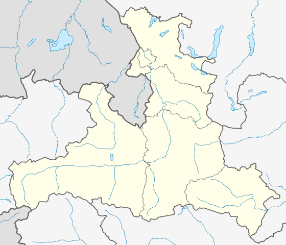
Deutsch: Positionskarte von Salzburg
Quadratische Plattkarte. Geographische Begrenzung der Karte:
English: Location map of Salzburg
Equirectangular projection. Geographic limits of the map:
|
| Source | Own work based on: Gemeinden Bundesland Salzburg.svg & maps-for-free.com |
| Author | Rosso Robot, versions later 2013-10: NordNordWest |
| Other versions |
|
| SVG development | This locator map was created with Adobe Illustrator. |

Licensing[edit]
I, the copyright holder of this work, hereby publish it under the following licenses:
This file is licensed under the Creative Commons Attribution-Share Alike 3.0 Unported license.
- You are free:
- to share – to copy, distribute and transmit the work
- to remix – to adapt the work
- Under the following conditions:
- attribution – You must give appropriate credit, provide a link to the license, and indicate if changes were made. You may do so in any reasonable manner, but not in any way that suggests the licensor endorses you or your use.
- share alike – If you remix, transform, or build upon the material, you must distribute your contributions under the same or compatible license as the original.

|
Permission is granted to copy, distribute and/or modify this document under the terms of the GNU Free Documentation License, Version 1.2 or any later version published by the Free Software Foundation; with no Invariant Sections, no Front-Cover Texts, and no Back-Cover Texts. A copy of the license is included in the section entitled GNU Free Documentation License. |
You may select the license of your choice.
File history
Click on a date/time to view the file as it appeared at that time.
| Date/Time | Thumbnail | Dimensions | User | Comment | |
|---|---|---|---|---|---|
| current | 20:00, 15 October 2013 | | 1,071 × 918 (988 KB) | NordNordWest (talk | contribs) | upd |
| 12:00, 27 May 2009 |  | 667 × 563 (57 KB) | Rosso Robot (talk | contribs) | colour correction | |
| 20:25, 26 May 2009 |  | 667 × 563 (55 KB) | Rosso Robot (talk | contribs) | {{Information |Description={{de|1=Positionskarte von Salzburg}} Quadratische Plattkarte. Geographische Begrenzung der Karte: * N: 48.05238° N * S: 46.93714° N * W: 12.04033° O * O: 14.01100° O}} {{en|1=Location map of [[:en |
You cannot overwrite this file.
File usage on Commons
The following 4 pages use this file:
File usage on other wikis
The following other wikis use this file:
- Usage on ba.wikipedia.org
- Usage on bg.wikipedia.org
- Usage on ce.wikipedia.org
- Куцкеп:Меттиган карта Австри Зальцбург
- Мариапфар
- Абтенау
- Аднет
- Альтенмаркт-им-Понгау
- Аниф
- Аннаберг-Лунгоьц
- Антеринг
- Бадгастайн
- Бад-Фигаун
- Бад-Хофгастайн
- Бергхайм (Флахгау)
- Берндорф-бай-Зальцбург
- Бишофсхофен
- Брамберг-ам-Вильдкогель
- Брукк-ан-дер-Гросглоккнерштрасе
- Буьрмос
- Ваграйн (Понгау)
- Вайсбах-бай-Лофер
- Вайсприах
- Вальд-им-Пинцгау
- Вальс-Зиценхайм
- Верфен
- Верфенвенг
- Гоьминг
- Гоьриах
- Голлинг-ан-дер-Зальцах
- Гольдегг (Зальцбург)
- Гроьдиг
- Гросарль
- Гросгмайн
- Динтен
- Дорфбойерн
- Дорфгастайн
- Зальбах-Хинтерглемм
- Зальфельден-ам-Штайнернен-Мер
- Зекирхен-ам-Валлерзе
- Зехам
- Капрун
- Коьстендорф
- Клайнарль
- Копль
- Кримль (коммуна)
- Криспль
- Кухль
- Лампрехтсхаузен
View more global usage of this file.