File:Location Togo AU Africa.svg
Jump to navigation
Jump to search

Size of this PNG preview of this SVG file: 646 × 600 pixels. Other resolutions: 258 × 240 pixels | 517 × 480 pixels | 827 × 768 pixels | 1,103 × 1,024 pixels | 2,206 × 2,048 pixels | 1,400 × 1,300 pixels.
Original file (SVG file, nominally 1,400 × 1,300 pixels, file size: 2.17 MB)
Captions
Captions
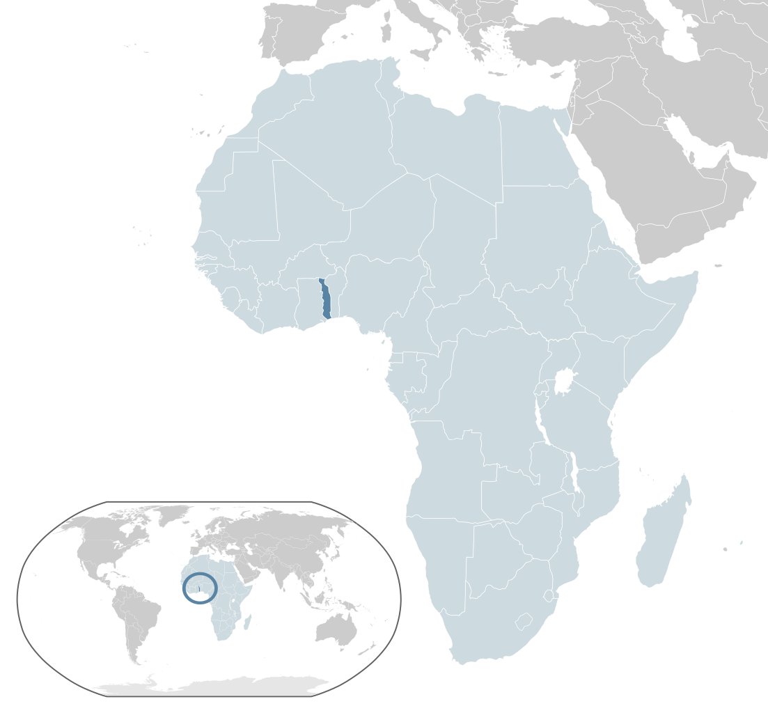
Location of Togo (dark blue) in the African Union (light blue)
Summary[edit]
| Description |
English: Map of Togo
Español: Mapa de Togo |
| Date | |
| Source | Own work |
| Author | Alvaro1984 18 |
Licensing[edit]
| I, the copyright holder of this work, release this work into the public domain. This applies worldwide. In some countries this may not be legally possible; if so: I grant anyone the right to use this work for any purpose, without any conditions, unless such conditions are required by law. |
File history
Click on a date/time to view the file as it appeared at that time.
| Date/Time | Thumbnail | Dimensions | User | Comment | |
|---|---|---|---|---|---|
| current | 05:28, 17 February 2017 | | 1,400 × 1,300 (2.17 MB) | Chipmunkdavis (talk | contribs) | Updating Morocco |
| 22:18, 31 July 2013 |  | 1,400 × 1,300 (2.17 MB) | Flappiefh (talk | contribs) | Fixed some displaced countries. | |
| 22:15, 31 July 2013 |  | 1,400 × 1,300 (2.17 MB) | Flappiefh (talk | contribs) | Added South Sudan. Fixed color of Lybia. | |
| 10:39, 30 July 2009 |  | 1,400 × 1,300 (2.17 MB) | Alvaro1984 18 (talk | contribs) | {{Information |Description={{en|1=Map of Togo}} {{es|1=Mapa de Togo}} |Source=trabajo propio (own work) |Author=Alvaro1984 18 |Date=30/07/2009 |Permission= |other_versions= }} Category:Location maps of Africa Category:Togo |
You cannot overwrite this file.
File usage on Commons
The following page uses this file:
File usage on other wikis
The following other wikis use this file:
- Usage on ady.wikipedia.org
- Usage on af.wikipedia.org
- Usage on ami.wikipedia.org
- Usage on ar.wikipedia.org
- Usage on avk.wikipedia.org
- Usage on azb.wikipedia.org
- Usage on az.wikipedia.org
- Usage on ban.wikipedia.org
- Usage on bcl.wikipedia.org
- Usage on be.wikipedia.org
- Usage on bg.wikipedia.org
- Usage on bh.wikipedia.org
- Usage on bi.wikipedia.org
- Usage on bn.wikipedia.org
- Usage on ca.wikipedia.org
- Usage on cdo.wikipedia.org
- Usage on chr.wikipedia.org
- Usage on co.wikipedia.org
- Usage on cs.wikipedia.org
- Usage on el.wikipedia.org
- Usage on en.wikipedia.org
- Togo
- History of Togo
- List of sovereign states and dependent territories in Africa
- Telephone numbers in Togo
- LGBT rights in Togo
- User:Islahaddow/sandbox
- 1963 Togolese coup d'état
- Wikipedia:Graphics Lab/Map workshop/Archive/Aug 2013
- List of companies of Togo
- List of conflicts in Togo
- 1967 Togolese coup d'état
- 1986 Togolese coup attempt
- Usage on eo.wikipedia.org
- Usage on eo.wiktionary.org
- Usage on es.wikipedia.org
- Usage on fa.wikipedia.org
- Usage on fi.wikipedia.org
- Usage on fon.wikipedia.org
- Usage on fo.wikipedia.org
- Usage on fr.wikipedia.org
View more global usage of this file.