File:Uppsala domkyrka, flygbild.jpg
Jump to navigation
Jump to search

Size of this preview: 800 × 532 pixels. Other resolutions: 320 × 213 pixels | 640 × 426 pixels | 1,024 × 681 pixels | 1,280 × 851 pixels | 2,560 × 1,702 pixels | 3,881 × 2,581 pixels.
Original file (3,881 × 2,581 pixels, file size: 5.66 MB, MIME type: image/jpeg)
Captions
Captions
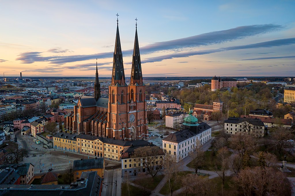
Uppsala Cathedral
Summary[edit]
| Description |
Svenska: Uppsala domkyrka (Fjärdingen 22:1)
|
||
| Date | |||
| Source | Own work | ||
| Author | Kateryna Baiduzha |
| Camera location | | View this and other nearby images on: OpenStreetMap |
|---|
| This aerial photograph has been approved for publishing by the Swedish Armed Forces with the ID: LM2023/012886
|
Licensing[edit]
I, the copyright holder of this work, hereby publish it under the following license:
This file is licensed under the Creative Commons Attribution-Share Alike 4.0 International license.
- You are free:
- to share – to copy, distribute and transmit the work
- to remix – to adapt the work
- Under the following conditions:
- attribution – You must give appropriate credit, provide a link to the license, and indicate if changes were made. You may do so in any reasonable manner, but not in any way that suggests the licensor endorses you or your use.
- share alike – If you remix, transform, or build upon the material, you must distribute your contributions under the same or compatible license as the original.

|
This image was awarded an finalist in the national contest of Sweden in Wiki Loves Monuments 2022 Other languages:
|

|
This image was uploaded as part of Wiki Loves Monuments 2022.
|
File history
Click on a date/time to view the file as it appeared at that time.
| Date/Time | Thumbnail | Dimensions | User | Comment | |
|---|---|---|---|---|---|
| current | 09:00, 30 September 2022 | | 3,881 × 2,581 (5.66 MB) | SvartKat (talk | contribs) | Uploaded own work with UploadWizard |
You cannot overwrite this file.
File usage on Commons
The following 6 pages use this file:
File usage on other wikis
The following other wikis use this file:
- Usage on de.wikipedia.org
- Usage on es.wikipedia.org
- Usage on et.wikipedia.org
- Usage on he.wikivoyage.org
- Usage on it.wikipedia.org
- Usage on outreach.wikimedia.org
- Usage on ru.wikipedia.org
- Usage on sv.wikipedia.org
- Usage on www.wikidata.org