File:Sweden Scania location map.svg
Jump to navigation
Jump to search

Size of this PNG preview of this SVG file: 663 × 600 pixels. Other resolutions: 265 × 240 pixels | 531 × 480 pixels | 849 × 768 pixels | 1,132 × 1,024 pixels | 2,263 × 2,048 pixels | 2,039 × 1,845 pixels.
Original file (SVG file, nominally 2,039 × 1,845 pixels, file size: 185 KB)
Captions
Captions
Add a one-line explanation of what this file represents
Summary[edit]
| Description |
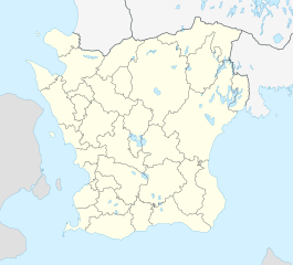
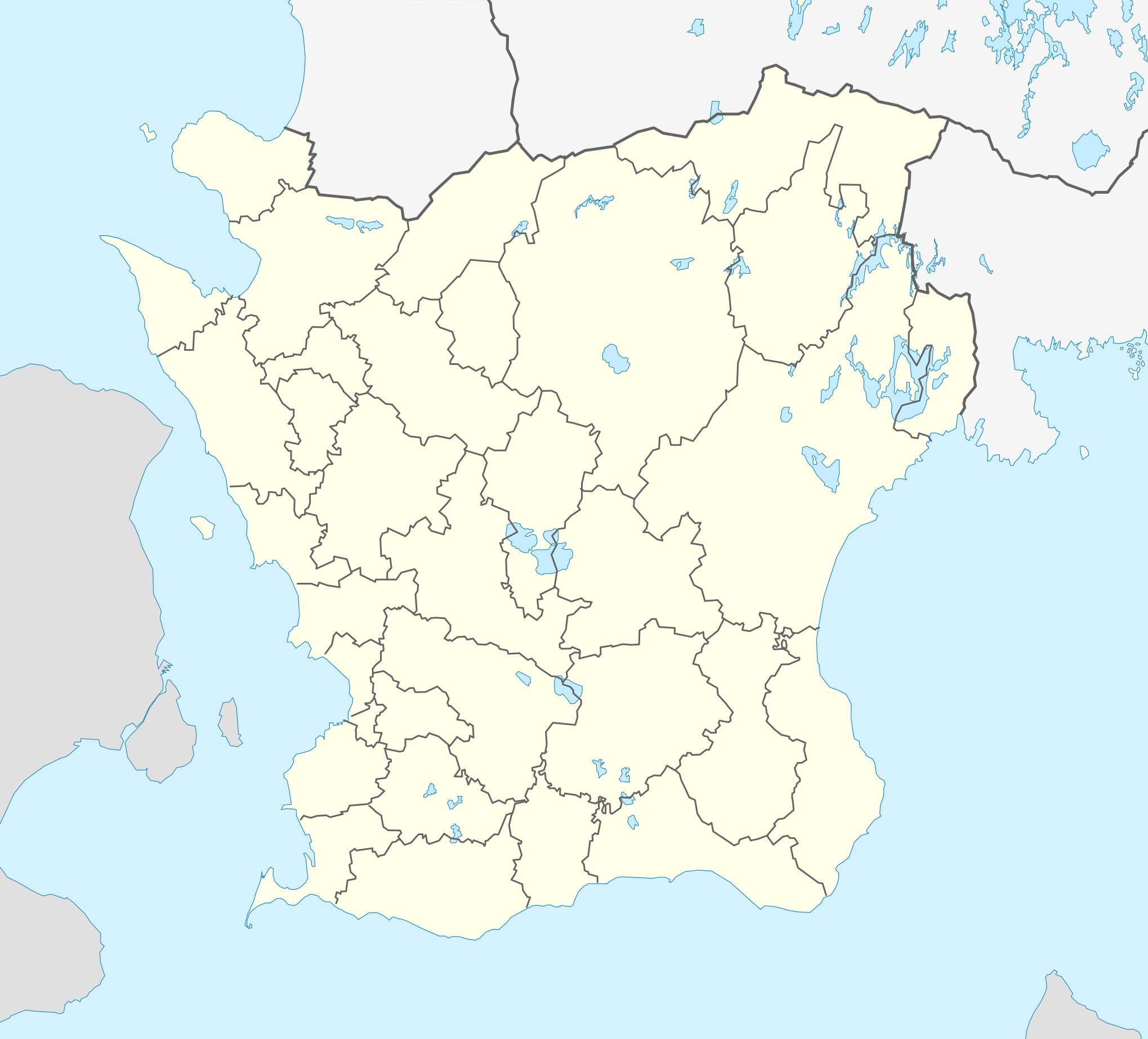
English: Location map of Scania (Skåne) in Sweden
Equirectangular projection, N/S stretching 179 %. Geographic limits of the map:
Deutsch: Positionskarte von Schonen in Schweden
Quadratische Plattkarte, N-S-Streckung 179 %. Geographische Begrenzung der Karte:
|
| Date | |
| Source | Own work |
| Author | Erik Frohne |
| Other versions |
|
| SVG development |

Licensing[edit]
I, the copyright holder of this work, hereby publish it under the following licenses:

|
Permission is granted to copy, distribute and/or modify this document under the terms of the GNU Free Documentation License, Version 1.2 or any later version published by the Free Software Foundation; with no Invariant Sections, no Front-Cover Texts, and no Back-Cover Texts. A copy of the license is included in the section entitled GNU Free Documentation License. |
This file is licensed under the Creative Commons Attribution 3.0 Unported license.
- You are free:
- to share – to copy, distribute and transmit the work
- to remix – to adapt the work
- Under the following conditions:
- attribution – You must give appropriate credit, provide a link to the license, and indicate if changes were made. You may do so in any reasonable manner, but not in any way that suggests the licensor endorses you or your use.
You may select the license of your choice.
File history
Click on a date/time to view the file as it appeared at that time.
| Date/Time | Thumbnail | Dimensions | User | Comment | |
|---|---|---|---|---|---|
| current | 17:01, 3 February 2017 | | 2,039 × 1,845 (185 KB) | Silverkey (talk | contribs) | Fix municipality lines |
| 08:56, 27 January 2009 |  | 2,039 × 1,845 (172 KB) | Erik Frohne (talk | contribs) | Adjusted waterline | |
| 14:35, 20 January 2009 |  | 2,039 × 1,845 (172 KB) | Erik Frohne (talk | contribs) | Size-Upgrade and added some lakes Category:Location maps of Sweden | |
| 14:16, 6 January 2009 |  | 276 × 266 (109 KB) | Erik Frohne (talk | contribs) | {{Information |Description=Update to fit the coordinates (hopefully this should be now right) |Source= |Date= |Author= |Permission= |other_versions= }} Category:Location Maps of Sweden | |
| 13:54, 6 January 2009 |  | 276 × 250 (109 KB) | Erik Frohne (talk | contribs) | {{Information |Description= |Source= |Date= |Author= |Permission= |other_versions= }} Category:Location Maps of Sweden | |
| 12:03, 6 January 2009 |  | 276 × 212 (109 KB) | Erik Frohne (talk | contribs) | {{Information |Description= |Source= |Date= |Author= |Permission= |other_versions= }} Category:Location Maps of Sweden | |
| 23:58, 5 January 2009 |  | 750 × 574 (117 KB) | Erik Frohne (talk | contribs) | {{Information |Description= |Source= |Date= |Author= |Permission= |other_versions= }} Category:Location Maps of Sweden | |
| 23:41, 5 January 2009 |  | 750 × 574 (117 KB) | Erik Frohne (talk | contribs) | {{Information |Description={{en|1=Location map of Scania (Skåne) in Sweden Equirectangular projection, N/S stretching 190 %. Geographic limits of the map: * N: 56° 37' N * S: 55° 12' N * W: 12° 12' E * E: 15° 00' E }} {{de|1=Positionskarte von Schon |
You cannot overwrite this file.
File usage on Commons
The following page uses this file:
File usage on other wikis
The following other wikis use this file:
- Usage on ar.wikipedia.org
- Usage on azb.wikipedia.org
- Usage on bg.wikipedia.org
- Usage on ceb.wikipedia.org
- Usage on cs.wikipedia.org
- Usage on da.wikipedia.org
- Lund (Sverige)
- Ystad
- Borgeby slot
- Malmø
- Skanør-Falsterbo
- Landskrona slot
- Helsingborg
- Uppåkra
- Landskrona
- Kristianstad
- Trelleborg (Sverige)
- Kernen
- Kivik-graven
- Ales sten
- Glimmingehus
- Torsjö
- Mölle
- Eslöv
- Trolleholm slot
- Knutstorp borg
- Tosterup slot
- Torup slot
- Häckeberga slot
- Bollerup borg
- Krapperup slot
- Bjuv
- Billesholm borgruin
- Kulla Gunnarstorp slot
- Ljungbyhed
- Romeleåsen
- Dalby (Skåne)
- Ugerup
- Ladonia
- Vä
- Bosjökloster
- Örup slot
- Båstad
- Hässleholm
- Søderåsen
- Skarhult slott
- Övedskloster
- Tommarps kloster
View more global usage of this file.