File:Map of Russia - Southern Federal District.svg
Jump to navigation
Jump to search

Size of this PNG preview of this SVG file: 800 × 462 pixels. Other resolutions: 320 × 185 pixels | 640 × 369 pixels | 1,024 × 591 pixels | 1,280 × 738 pixels | 2,560 × 1,477 pixels | 1,092 × 630 pixels.
Original file (SVG file, nominally 1,092 × 630 pixels, file size: 118 KB)
Captions
Captions
Add a one-line explanation of what this file represents
| Description |
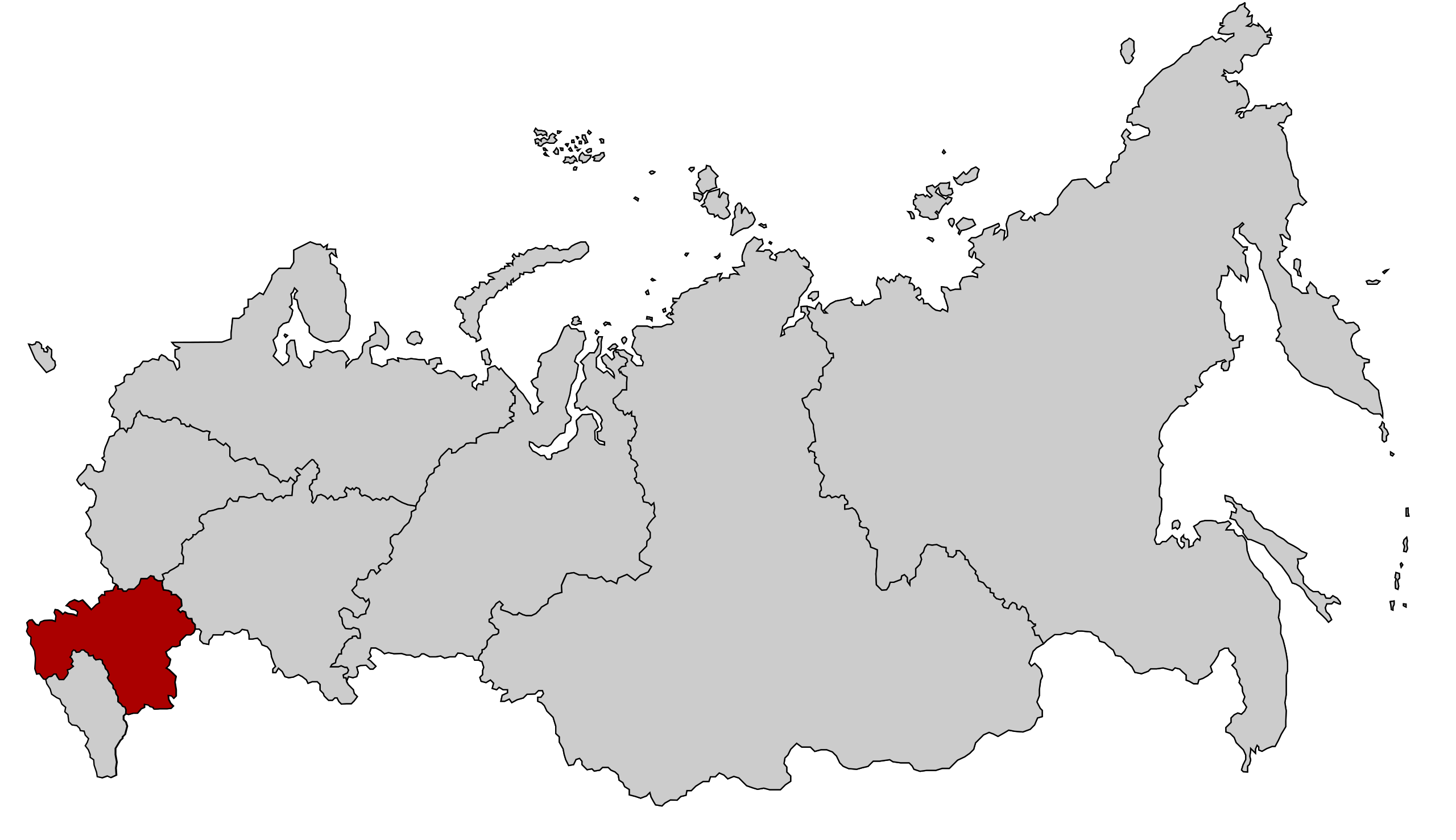
English: Map Russia highlighting the Southern Federal districts.
Español: Ubicación del Distrito Federal Sur en la Federación Rusa
Русский: Южный федеральный округ |
| Date | |
| Source | Based on Map of Russian subjects, 2008-03-01.svg by Lokal_Profil |
| Author | Lokal_Profil |
| Permission (Reusing this file) |
This file is licensed under the Creative Commons Attribution-Share Alike 2.5 Generic license.
|
| Other versions |
|
.svg)
.svg)
.svg)
.svg)
File history
Click on a date/time to view the file as it appeared at that time.
| Date/Time | Thumbnail | Dimensions | User | Comment | |
|---|---|---|---|---|---|
| current | 16:20, 28 July 2016 | | 1,092 × 630 (118 KB) | Konstrooktor (talk | contribs) | Contained territories of other countries. Reverted to version as of 21:47, 21 January 2010 (UTC) |
| 16:19, 28 July 2016 |  | 1,092 × 630 (118 KB) | Konstrooktor (talk | contribs) | Contained territories of other countries. Reverted to version as of 21:47, 21 January 2010 (UTC) | |
| 15:32, 28 July 2016 |  | 1,092 × 630 (95 KB) | APh (talk | contribs) | Borders of Southern Federal District since 2016-07-28. | |
| 15:29, 28 July 2016 |  | 1,092 × 630 (95 KB) | APh (talk | contribs) | Borders of Southern Federal District since 2016-07-28. | |
| 14:25, 10 March 2015 |  | 1,092 × 630 (95 KB) | Knyaz-1988 (talk | contribs) | Reverted to version as of 22:09, 3 November 2014 | |
| 01:32, 4 November 2014 |  | 1,092 × 630 (118 KB) | Fry1989 (talk | contribs) | NPOV issue. | |
| 22:09, 3 November 2014 |  | 1,092 × 630 (95 KB) | Knyaz-1988 (talk | contribs) | New version | |
| 21:47, 21 January 2010 |  | 1,092 × 630 (118 KB) | Denhud (talk | contribs) | Borders of Southern Federal District since 2010-01-19. | |
| 23:36, 3 March 2008 |  | 1,092 × 630 (112 KB) | Lokal Profil (talk | contribs) | {{Information |Description=Map Russia highlighting the Southern Federal districts. |Source=Based on Map of Russian subjects, 2008-03-01.svg by [[:user:Lokal_Profil|Loka |
You cannot overwrite this file.
File usage on Commons
The following 6 pages use this file:
- User:Lokal Profil/gallery
- File:Map of Russia - Southern Federal District (2000-2010).svg
- File:Map of Russia - Southern Federal District (2014-2016, with Crimea).svg
- File:Map of Russia - Southern Federal District (with Crimea).svg
- File:Map of Russia - Southern Federal District (with Crimea claimed).svg
- File:RussiaNorthernCaucasus.png
File usage on other wikis
The following other wikis use this file:
- Usage on bs.wikipedia.org
- Usage on el.wikipedia.org
- Usage on en.wikipedia.org
- Usage on es.wikipedia.org
- Usage on eu.wikipedia.org
- Usage on hr.wikipedia.org
- Usage on hy.wikipedia.org
- Usage on ka.wikipedia.org
- Usage on koi.wikipedia.org
- Usage on mn.wikipedia.org
- Usage on mr.wikipedia.org
- Usage on ms.wikipedia.org
- Usage on pfl.wikipedia.org
- Usage on ru.wikipedia.org
- Usage on sv.wikipedia.org
- Usage on tl.wikipedia.org
- Usage on tr.wikipedia.org
- Usage on uk.wikipedia.org
- Usage on www.wikidata.org
- Usage on xmf.wikipedia.org