File:Map Region of Sardegna.svg
Jump to navigation
Jump to search

Size of this PNG preview of this SVG file: 480 × 600 pixels. Other resolutions: 192 × 240 pixels | 384 × 480 pixels | 614 × 768 pixels | 819 × 1,024 pixels | 1,638 × 2,048 pixels | 1,200 × 1,500 pixels.
Original file (SVG file, nominally 1,200 × 1,500 pixels, file size: 790 KB)
Captions
Captions
Add a one-line explanation of what this file represents
Summary[edit]
| Description |
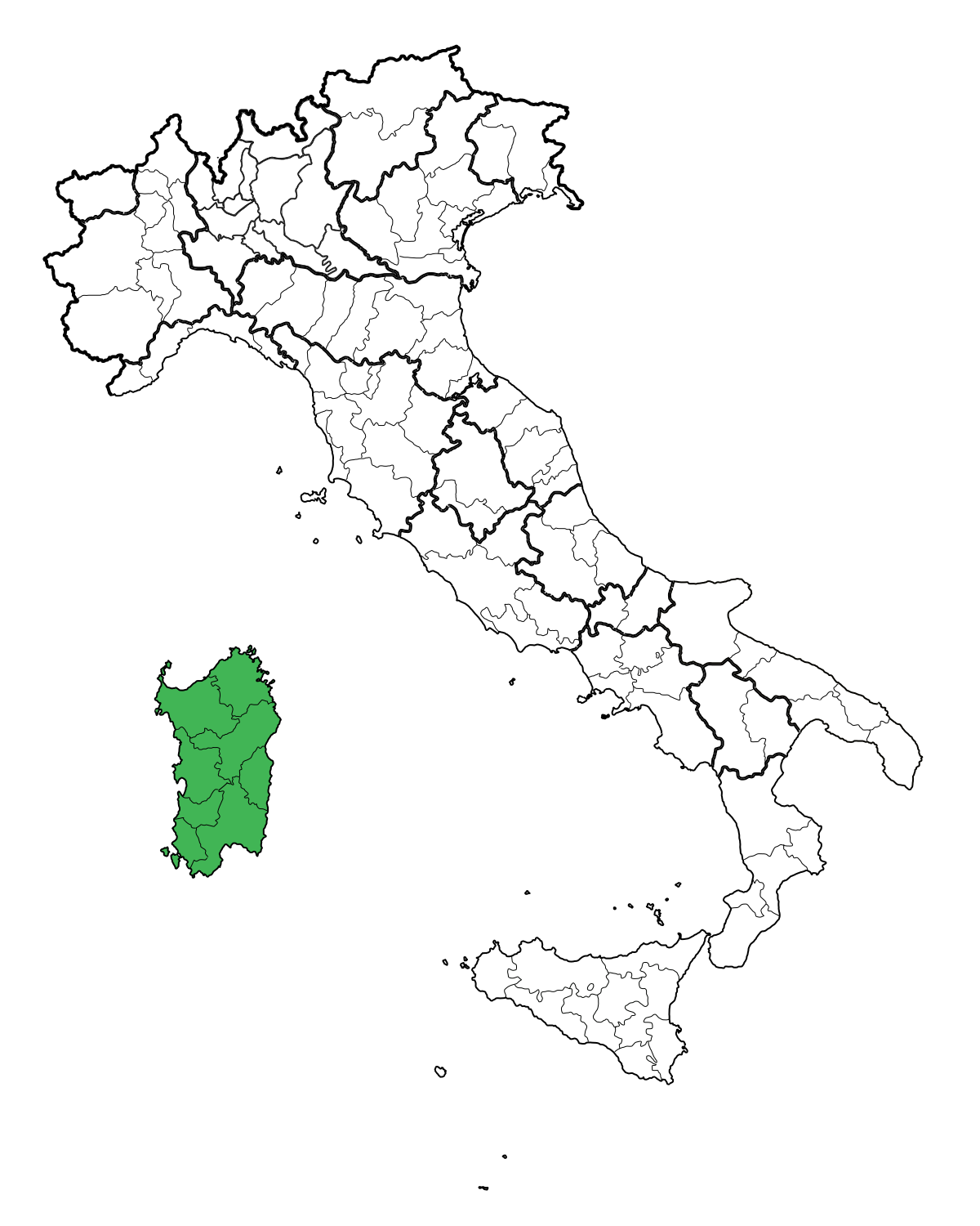
English: Map of the regione Sardegna.
Italiano: Mappa della Regione Sardegna. |
||
| Date | |||
| Source | Own work | ||
| Author | Gigillo83 | ||
| Permission (Reusing this file) |
|
File history
Click on a date/time to view the file as it appeared at that time.
| Date/Time | Thumbnail | Dimensions | User | Comment | |
|---|---|---|---|---|---|
| current | 08:30, 15 June 2010 | | 1,200 × 1,500 (790 KB) | Gigillo83 (talk | contribs) | MB |
| 21:34, 14 October 2009 |  | 1,200 × 1,500 (1 MB) | Gigillo83 (talk | contribs) | {{Information| |Description= {{en|Map of the regione Sardegna.}} {{it|Mappa della Regione Sardegna.}} |Source= {{en|Own work.}} {{it|Fatta da me.}} |Date=14/10/2009 |Author=Gigillo83 |Permission={{PD-self}} }} [[Category:SVG Loca |
You cannot overwrite this file.
File usage on Commons
The following 2 pages use this file:
File usage on other wikis
The following other wikis use this file:
- Usage on an.wikipedia.org
- Usage on ckb.wikipedia.org
- Usage on dsb.wikipedia.org
- Usage on el.wiktionary.org
- Usage on en.wikipedia.org
- Usage on ext.wikipedia.org
- Usage on hsb.wikipedia.org
- Usage on mr.wikipedia.org
- Usage on pl.wiktionary.org
- Usage on rue.wikipedia.org
- Usage on sk.wikipedia.org
- Usage on sq.wikipedia.org
- Usage on tl.wikipedia.org
- Usage on tr.wikipedia.org
- Usage on uk.wikipedia.org
View more global usage of this file.