File:Drapeau fr département Cher.svg
Jump to navigation
Jump to search

Size of this PNG preview of this SVG file: 800 × 533 pixels. Other resolutions: 320 × 213 pixels | 640 × 427 pixels | 1,024 × 683 pixels | 1,280 × 853 pixels | 2,560 × 1,707 pixels | 1,200 × 800 pixels.
Original file (SVG file, nominally 1,200 × 800 pixels, file size: 3 KB)
Captions
Captions
Add a one-line explanation of what this file represents
| Description |
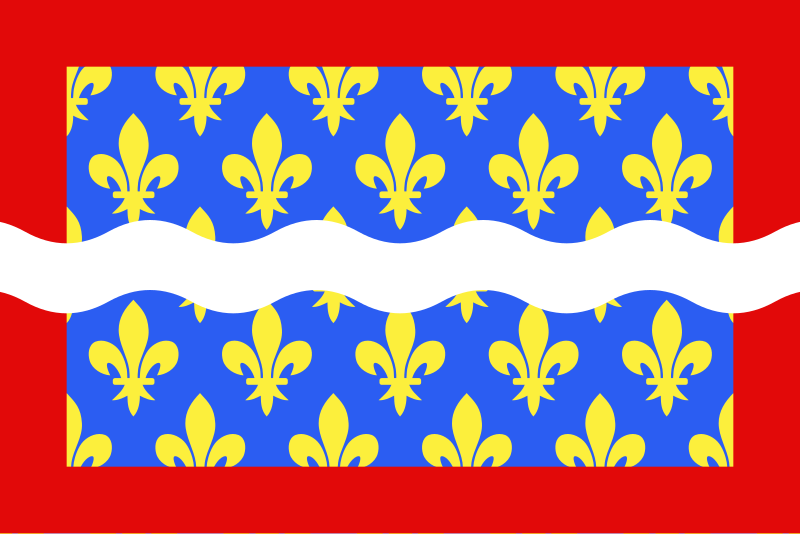
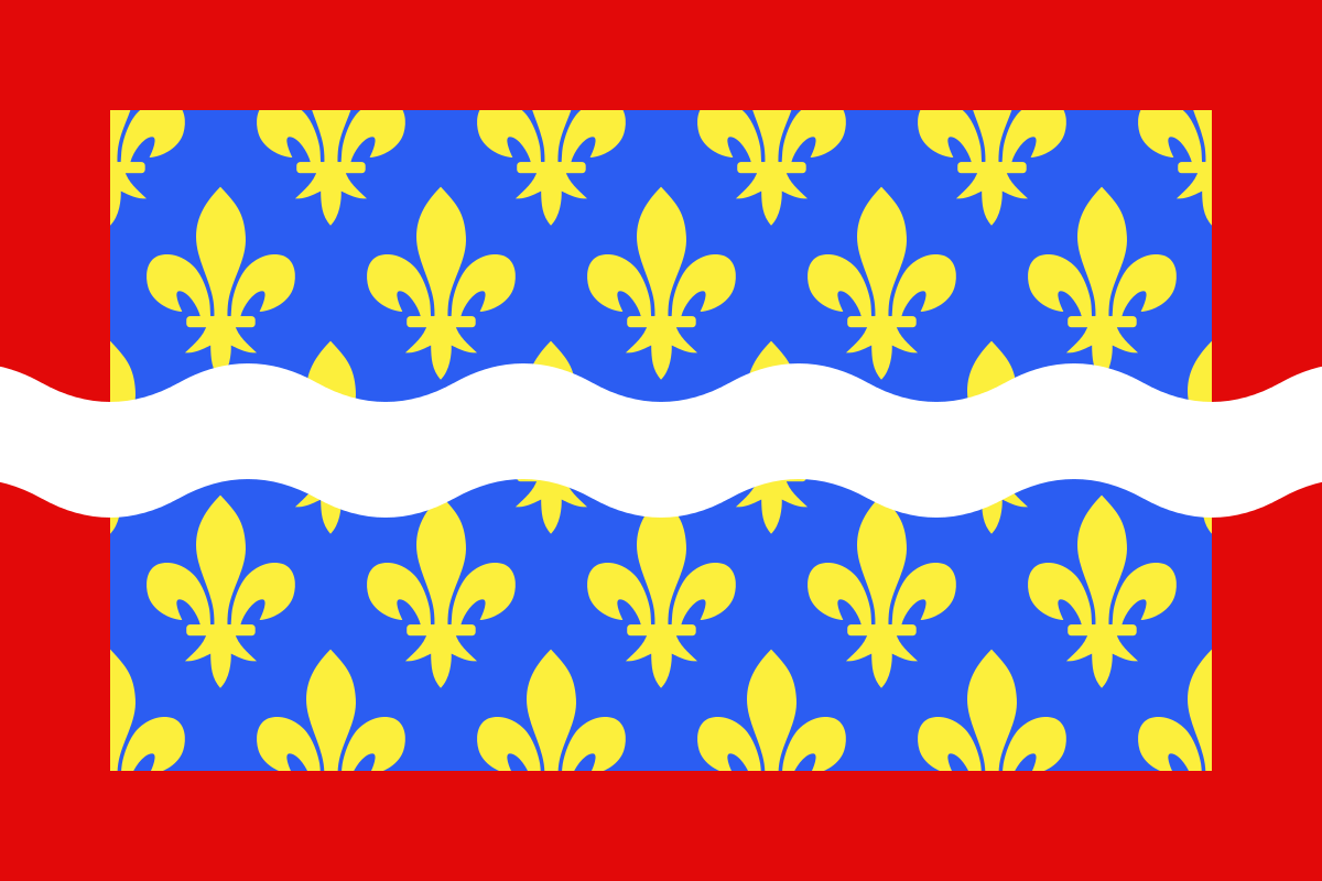
English: Flag of Cher
Français : Drapeau du département du Cher
Español: Banderas de Cher |
| Date | |
| Source | Own work |
| Author | user:Spedona |
I, the copyright holder of this work, hereby publish it under the following licenses:

|
Permission is granted to copy, distribute and/or modify this document under the terms of the GNU Free Documentation License, Version 1.2 or any later version published by the Free Software Foundation; with no Invariant Sections, no Front-Cover Texts, and no Back-Cover Texts. A copy of the license is included in the section entitled GNU Free Documentation License. |
| This file is licensed under the Creative Commons Attribution-Share Alike 3.0 Unported license. | ||
| ||
| This licensing tag was added to this file as part of the GFDL licensing update. |
This file is licensed under the Creative Commons Attribution-Share Alike 2.5 Generic, 2.0 Generic and 1.0 Generic license.
- You are free:
- to share – to copy, distribute and transmit the work
- to remix – to adapt the work
- Under the following conditions:
- attribution – You must give appropriate credit, provide a link to the license, and indicate if changes were made. You may do so in any reasonable manner, but not in any way that suggests the licensor endorses you or your use.
- share alike – If you remix, transform, or build upon the material, you must distribute your contributions under the same or compatible license as the original.
You may select the license of your choice.
File history
Click on a date/time to view the file as it appeared at that time.
| Date/Time | Thumbnail | Dimensions | User | Comment | |
|---|---|---|---|---|---|
| current | 09:43, 22 December 2012 | | 1,200 × 800 (3 KB) | Alkari (talk | contribs) | code cleanup/file size reduction |
| 17:37, 29 November 2007 |  | 1,203 × 797 (110 KB) | Spedona (talk | contribs) | {{Information |Description={{en|Flag of Cher}} {{fr|Drapeau du département du Cher}} {{es|Banderas de Cher}} |Source=own work |Date=28 novembre 2007 |Author=user:Spedona |Permission=see below |other_versions= - }} {{self2|GFDL|cc-by-sa-2.5,2.0,1.0}} |
You cannot overwrite this file.
File usage on Commons
The following 15 pages use this file:
- Cher
- Flags of communes of Cher
- Flags of subdivisions of France
- User:Calips
- File:CherFlag.png
- Category:Births in Cher
- Category:Bridges in Cher
- Category:Cher (department)
- Category:Deaths in Cher
- Category:Groups of communes in Cher (department)
- Category:Maps of Cher
- Category:People of Cher
- Category:Rivers of Cher
- Category:Routes nationales in Cher
- Category:Town halls in Cher
File usage on other wikis
The following other wikis use this file:
- Usage on an.wikipedia.org
- Usage on ar.wikipedia.org
- Usage on az.wikipedia.org
- Usage on bg.wikipedia.org
- Usage on ca.wikipedia.org
- Usage on ceb.wikipedia.org
- Usage on ce.wikipedia.org
- Usage on cs.wikipedia.org
- Usage on da.wikipedia.org
- Usage on de.wikivoyage.org
- Usage on el.wikipedia.org
- Usage on en.wikipedia.org
- Cher (department)
- ISO 3166-2:FR
- Flags of the regions of France
- List of flags by color combination
- List of political and geographic subdivisions by total area from 5,000 to 20,000 square kilometers
- List of political and geographic subdivisions by total area (all)
- List of political and geographic subdivisions by total area from 7,000 to 10,000 square kilometers
- User:Charles G. Delahaye/sandbox
- Template:Country data Cher
- User:Germenfer/sandbox5
- Usage on es.wikipedia.org
- Cher (departamento)
- Anexo:Banderas de Francia
- Cantón de Baugy
- Cantón de Argent-sur-Sauldre
- Cantón de Bourges-5
- Cantón de Charenton-du-Cher
- Cantón de Châteauneuf-sur-Cher
- Cantón de Graçay
- Cantón de Henrichemont
- Cantón de La Chapelle-d'Angillon
- Cantón de Le Châtelet
- Cantón de Léré
- Cantón de Les Aix-d'Angillon
- Cantón de Levet
- Cantón de Lignières
- Cantón de Lury-sur-Arnon
- Cantón de Nérondes
- Cantón de Sancergues
- Cantón de Sancoins
- Cantón de Saulzais-le-Potier
- Cantón de Vailly-sur-Sauldre
- Usage on fa.wikipedia.org
- Usage on fr.wikipedia.org
View more global usage of this file.