File:Satellite map of the Central African Republic.png
Jump to navigation
Jump to search

Size of this preview: 800 × 539 pixels. Other resolutions: 320 × 216 pixels | 640 × 431 pixels | 1,024 × 690 pixels | 1,280 × 862 pixels | 1,566 × 1,055 pixels.
Original file (1,566 × 1,055 pixels, file size: 1.72 MB, MIME type: image/png)
Captions
Captions
Add a one-line explanation of what this file represents
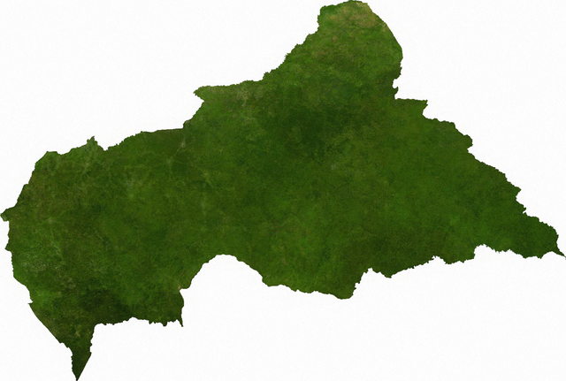
ECW to TIFF to PNG (compression level 9).
| This file is in the public domain, because it was generated by a user, using free sources available at The Map Library.
Note that this does not include the maps in the Global Administrative Areas section of the homepage. |
Original upload log[edit]
| date/time | username | resolution | size | edit summary |
|---|---|---|---|---|
| 2006-07-13T03:41:14Z | User:Cwolfsheep | 1566×1055 | 1.72Gb | [[Wikipedia:ECW|ECW]] to [[Wikipedia:TIFF|TIFF]] to [[Wikipedia:PNG|PNG]] (compression level 9). {{PD-MapLibrary}} |
File history
Click on a date/time to view the file as it appeared at that time.
| Date/Time | Thumbnail | Dimensions | User | Comment | |
|---|---|---|---|---|---|
| current | 16:45, 6 July 2009 | | 1,566 × 1,055 (1.72 MB) | BetacommandBot (talk | contribs) | move approved by: User:Kintetsubuffalo This image was moved from File:Cenafrep sat.png ECW to TIFF to PNG (compression level 9). {{PD-MapLibrary}} [[Category:Maps of the Central African Re |
You cannot overwrite this file.
File usage on Commons
The following page uses this file:
File usage on other wikis
The following other wikis use this file:
- Usage on af.wikipedia.org
- Usage on cs.wikipedia.org
- Usage on en.wikipedia.org
- Usage on ka.wikipedia.org
- Usage on mk.wikipedia.org
- Usage on pl.wikipedia.org
- Usage on sg.wikipedia.org
- Usage on tl.wikipedia.org
- Usage on uk.wikipedia.org
- Usage on zh.wikipedia.org