File:Outline Map of Ivanovo Oblast.svg
Jump to navigation
Jump to search

Size of this PNG preview of this SVG file: 512 × 383 pixels. Other resolutions: 320 × 239 pixels | 640 × 479 pixels | 1,024 × 766 pixels | 1,280 × 958 pixels | 2,560 × 1,915 pixels.
Original file (SVG file, nominally 512 × 383 pixels, file size: 336 KB)
Captions
Captions
Add a one-line explanation of what this file represents
Summary[edit]
| Description |
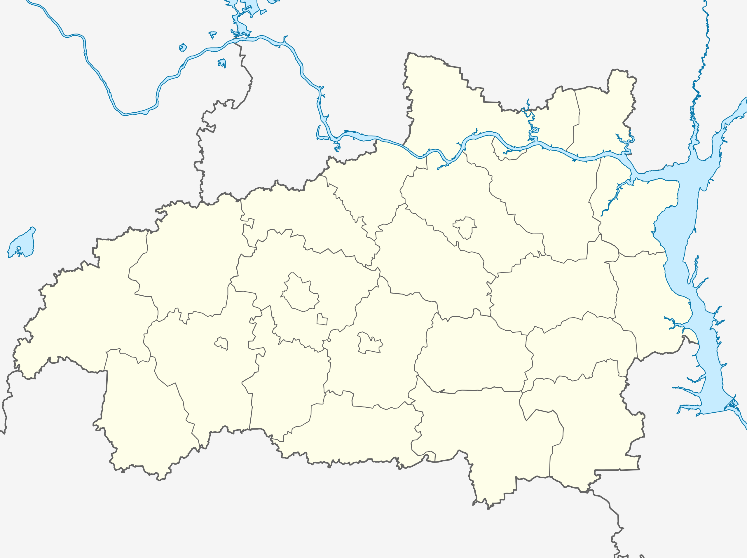
Русский: Позиционная карта Ивановской области
|top = 57.9 |bottom = 56.2 |left = 39.3 |right = 43.5 |
| Date | |
| Source |
Own work This W3C-unspecified vector image was created with Inkscape . |
| Author | Виктор В |
| Other versions | ненорщшеокплджонршщ |
Licensing[edit]
This file is licensed under the Creative Commons Attribution-Share Alike 2.0 Generic license.
- You are free:
- to share – to copy, distribute and transmit the work
- to remix – to adapt the work
- Under the following conditions:
- attribution – You must give appropriate credit, provide a link to the license, and indicate if changes were made. You may do so in any reasonable manner, but not in any way that suggests the licensor endorses you or your use.
- share alike – If you remix, transform, or build upon the material, you must distribute your contributions under the same or compatible license as the original.
File history
Click on a date/time to view the file as it appeared at that time.
| Date/Time | Thumbnail | Dimensions | User | Comment | |
|---|---|---|---|---|---|
| current | 16:01, 26 October 2015 | | 512 × 383 (336 KB) | Stasyan117 (talk | contribs) | e,hfk gfkjxre |
| 15:09, 26 October 2015 |  | 512 × 383 (342 KB) | Stasyan117 (talk | contribs) | = | |
| 06:38, 5 September 2010 |  | 512 × 383 (342 KB) | Виктор В (talk | contribs) | == {{int:filedesc}} == {{Information |Description={{ru|1=Позиционная карта Ивановской области *Проекция — равноугольная. *Стандартная параллель — 57°12′00″с.ш. *Пара� |
You cannot overwrite this file.
File usage on Commons
There are no pages that use this file.
File usage on other wikis
The following other wikis use this file:
- Usage on af.wikipedia.org
- Usage on ar.wikipedia.org
- Usage on azb.wikipedia.org
- Usage on ba.wikipedia.org
- Usage on be.wikipedia.org
- Плёс (горад)
- Южа
- Раднікі (горад)
- Поразава (Іванаўская вобласць)
- Палех
- Іванава (Расія)
- Вічуга
- Заволжск
- Шуя
- Гаўрылаў Пасад
- Прыволжск
- Навалакі
- Пучаж
- Юр’евец
- Шаблон:На карце/Расія Іванаўская вобласць
- Старая Вічуга
- Нерль (Іванаўская вобласць)
- Верхні Ландзех
- Ільінскае-Хаванскае
- Каменка (Іванаўская вобласць)
- Колабава (Шуйскі раён)
- Лежнева (Іванаўская вобласць)
- Лух (пасёлак гарадскога тыпу)
- Савіна (рабочы пасёлак, Савінскі раён)
- Пятроўскі (Гаўрылава-Пасадскі раён)
- Песцякі
- Новапісцова
- Usage on bg.wikipedia.org
- Usage on ceb.wikipedia.org
- Usage on ce.wikipedia.org
View more global usage of this file.