File:Black Sea location map.svg
Jump to navigation
Jump to search

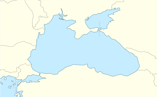
Size of this PNG preview of this SVG file: 532 × 330 pixels. Other resolutions: 320 × 198 pixels | 640 × 397 pixels | 1,024 × 635 pixels | 1,280 × 794 pixels | 2,560 × 1,588 pixels.
Original file (SVG file, nominally 532 × 330 pixels, file size: 86 KB)
Captions
Captions
Add a one-line explanation of what this file represents
Summary[edit]
| Description |
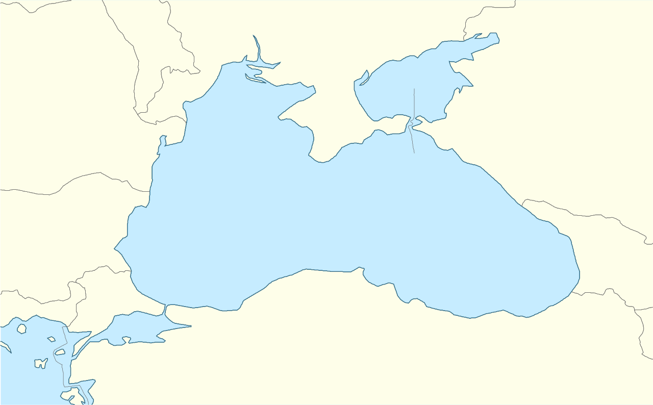
English: Location map of the Black Sea.
|
| Date | |
| Source | Own work |
| Author | Tentotwo |
Shell script for generating the map using GMT[edit]
#!/bin/sh

# Set common options
PROJECTION=Q34/43.5/15c
REGION=24/44/39/48
FILENAME=Black_Sea_location_map.ps

# Get Natural Earth datafiles
echo "Downloading datafiles from naturalearthdata.com"
wget -nv -nc \
 http://www.naturalearthdata.com/http//www.naturalearthdata.com/download/50m/physical/50m-coastline.zip\
 http://www.naturalearthdata.com/http//www.naturalearthdata.com/download/50m/physical/50m-land.zip\
 http://www.naturalearthdata.com/http//www.naturalearthdata.com/download/50m/cultural/50m-admin-0-countries.zip
echo "...done\n"

echo "Inflating archives"
unzip 50m\*.zip
unzip 110m\*.zip
echo "...done\n"

echo "Converting shapefiles to GMT"
ogr2ogr -F GMT 50m_land.gmt 50m_land.shp
ogr2ogr -F GMT 50m_coastline.gmt 50m_coastline.shp
ogr2ogr -F GMT 50m_borders.gmt ne_50m_admin_0_countries.shp
ogr2ogr -F GMT 10m_maritime_borders.gmt ne_10m_admin_0_boundary_lines_maritime_indicator.shp
echo "...done\n"

echo "Creating maps"
GMT psxy -m -J$PROJECTION -R$REGION --PAGE_COLOR=198/236/255  --POLAR_CAP=none --PAPER_MEDIA=A4  --BASEMAP_TYPE=plain --BASEMAP_AXES=NESW --FRAME_PEN=0.15p,black 50m_land.gmt -K -G254/254/233 > $FILENAME
GMT psxy -m -J$PROJECTION -R$REGION 50m_coastline.gmt -O -K -W0.535p,9/120/171  >> $FILENAME
GMT psxy -m -J$PROJECTION -R$REGION 50m_borders.gmt -O -K -W100/100/100  >> $FILENAME


EOF
GMT psxy -m -J$PROJECTION -R$REGION 10m_maritime_borders.gmt -O -W100/100/100  >> $FILENAME
echo "...done\n"

echo "You can now open $FILENAME in Inkscape to clean up the file and save it as SVG. You should add an ocean coloured background and simplify the graticules using CTRL+L."

gv $FILENAME
Licensing[edit]
I, the copyright holder of this work, hereby publish it under the following license:
This file is licensed under the Creative Commons Attribution-Share Alike 3.0 Unported license.
- You are free:
- to share – to copy, distribute and transmit the work
- to remix – to adapt the work
- Under the following conditions:
- attribution – You must give appropriate credit, provide a link to the license, and indicate if changes were made. You may do so in any reasonable manner, but not in any way that suggests the licensor endorses you or your use.
- share alike – If you remix, transform, or build upon the material, you must distribute your contributions under the same or compatible license as the original.
File history
Click on a date/time to view the file as it appeared at that time.
| Date/Time | Thumbnail | Dimensions | User | Comment | |
|---|---|---|---|---|---|
| current | 12:33, 5 January 2016 | | 532 × 330 (86 KB) | Seryo93 (talk | contribs) | Reverted to version as of 13:59: one pixel. needs to be fixed |
| 12:33, 5 January 2016 |  | 532 × 331 (136 KB) | Seryo93 (talk | contribs) | Narrowed too-wide Isthmus of Perekop using File:Ausschliessliche_Wirtschaftszonen_Schwarzes_Meer.svg as a base | |
| 13:59, 14 February 2012 |  | 532 × 330 (86 KB) | Tentotwo (talk | contribs) |
You cannot overwrite this file.
File usage on Commons
The following 6 pages use this file:
- Чорне море - Чёрное море - Karadeniz - Marea Neagră
- File:Ausschliessliche Wirtschaftszonen Schwarzes Meer-uk.svg
- File:Ausschliessliche Wirtschaftszonen Schwarzes Meer.svg
- File:Ausschliessliche Wirtschaftszonen Schwarzes Meer (Reliefkarte)-uk.svg
- File:Ausschliessliche Wirtschaftszonen Schwarzes Meer (Reliefkarte).svg
- File:Black Sea relief location map with exclusive economic zones.svg
-uk.svg)
.svg)
File usage on other wikis
The following other wikis use this file:
- Usage on az.wikipedia.org
- Usage on ce.wikipedia.org
- Usage on de.wikipedia.org
- Usage on dsb.wikipedia.org
- Usage on eo.wikipedia.org
- Usage on es.wikipedia.org
- Usage on eu.wikipedia.org
- Usage on fi.wikipedia.org
- Usage on frr.wikipedia.org
- Usage on fr.wikipedia.org
- Usage on he.wikipedia.org
- Usage on hsb.wikipedia.org
- Usage on hu.wikipedia.org
- Usage on hu.wiktionary.org
- Usage on kk.wikipedia.org
- Usage on ko.wikipedia.org
- Usage on krc.wikipedia.org
- Usage on lv.wikipedia.org
- Usage on nap.wikipedia.org
- Usage on no.wikipedia.org
- Usage on pl.wikipedia.org
- Usage on pl.wikibooks.org
- Usage on pl.wiktionary.org
- Usage on ru.wikipedia.org
- Usage on zh.wikipedia.org