File:QAT orthographic.svg
Jump to navigation
Jump to search

Size of this PNG preview of this SVG file: 600 × 600 pixels. Other resolutions: 240 × 240 pixels | 480 × 480 pixels | 768 × 768 pixels | 1,024 × 1,024 pixels | 2,048 × 2,048 pixels.
Original file (SVG file, nominally 600 × 600 pixels, file size: 1.35 MB)
Captions
Captions
Add a one-line explanation of what this file represents
Summary[edit]
| Description |
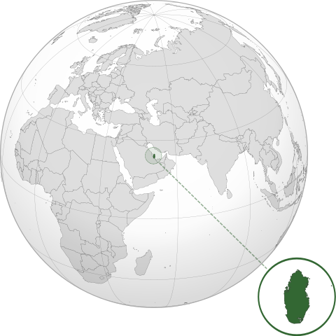
English: Orthographic map of Qatar centered at 25° N, 51° E.
Official territory.
Claimed territories. |
| Date | |
| Source |
Own work with Natural Earth Data This W3C-unspecified vector image was created with Inkscape . |
| Author | Addicted04 |
Licensing[edit]
I, the copyright holder of this work, hereby publish it under the following license:
This file is licensed under the Creative Commons Attribution-Share Alike 3.0 Unported license.
- You are free:
- to share – to copy, distribute and transmit the work
- to remix – to adapt the work
- Under the following conditions:
- attribution – You must give appropriate credit, provide a link to the license, and indicate if changes were made. You may do so in any reasonable manner, but not in any way that suggests the licensor endorses you or your use.
- share alike – If you remix, transform, or build upon the material, you must distribute your contributions under the same or compatible license as the original.
File history
Click on a date/time to view the file as it appeared at that time.
| Date/Time | Thumbnail | Dimensions | User | Comment | |
|---|---|---|---|---|---|
| current | 00:37, 25 May 2022 | | 600 × 600 (1.35 MB) | Spesh531 (talk | contribs) | fixing zoom circle |
| 00:31, 25 May 2022 |  | 600 × 600 (1.35 MB) | Spesh531 (talk | contribs) | Updating to show new Qatari-Saudi border | |
| 02:25, 8 July 2012 |  | 600 × 600 (1.34 MB) | Addicted04 (talk | contribs) |
You cannot overwrite this file.
File usage on Commons
The following 2 pages use this file:
File usage on other wikis
The following other wikis use this file:
- Usage on ady.wikipedia.org
- Usage on af.wikipedia.org
- Usage on ami.wikipedia.org
- Usage on ar.wikipedia.org
- قطر
- بوابة:العالم الإسلامي/دولة مختارة/أرشيف
- بوابة:العالم الإسلامي/دولة مختارة/24
- بوابة:قطر/صورة مختارة/أرشيف
- بوابة:قطر/صورة مختارة/2
- مستخدم:جار الله/قائمة صور مقالات العلاقات الثنائية
- العلاقات الأمريكية القطرية
- العلاقات الأنغولية القطرية
- العلاقات القطرية الكورية الجنوبية
- العلاقات الإريترية القطرية
- العلاقات السويسرية القطرية
- العلاقات الألمانية القطرية
- العلاقات القطرية الليختنشتانية
- العلاقات البوليفية القطرية
- العلاقات القطرية الموزمبيقية
- العلاقات الألبانية القطرية
- العلاقات البلجيكية القطرية
- العلاقات الإثيوبية القطرية
- العلاقات البيلاروسية القطرية
- العلاقات الطاجيكستانية القطرية
- العلاقات الرومانية القطرية
- العلاقات الأرجنتينية القطرية
- العلاقات الغامبية القطرية
- العلاقات القبرصية القطرية
- العلاقات السيراليونية القطرية
- العلاقات القطرية النيبالية
- العلاقات القطرية الليبيرية
- العلاقات التشيكية القطرية
- العلاقات القطرية الميانمارية
- العلاقات القطرية الكندية
- العلاقات الزيمبابوية القطرية
- العلاقات البالاوية القطرية
- العلاقات القطرية المالية
- العلاقات القطرية النيجيرية
- العلاقات الفانواتية القطرية
- العلاقات الغابونية القطرية
- العلاقات البنمية القطرية
- العلاقات القطرية الكوبية
- العلاقات الجورجية القطرية
- العلاقات التونسية القطرية
- العلاقات القطرية الكورية الشمالية
- العلاقات الهندية القطرية
- العلاقات اليابانية القطرية
- العلاقات الإيطالية القطرية
- العلاقات القطرية الناوروية
- العلاقات الأسترالية القطرية
- العلاقات الزامبية القطرية
View more global usage of this file.