File:European area.png
Jump to navigation
Jump to search
Size of this preview: 707 × 599 pixels. Other resolutions: 283 × 240 pixels | 566 × 480 pixels | 906 × 768 pixels | 1,208 × 1,024 pixels | 2,415 × 2,048 pixels | 3,761 × 3,189 pixels.
Original file (3,761 × 3,189 pixels, file size: 1.02 MB, MIME type: image/png)
Captions
Captions
Add a one-line explanation of what this file represents
Summary[edit]
| Description |
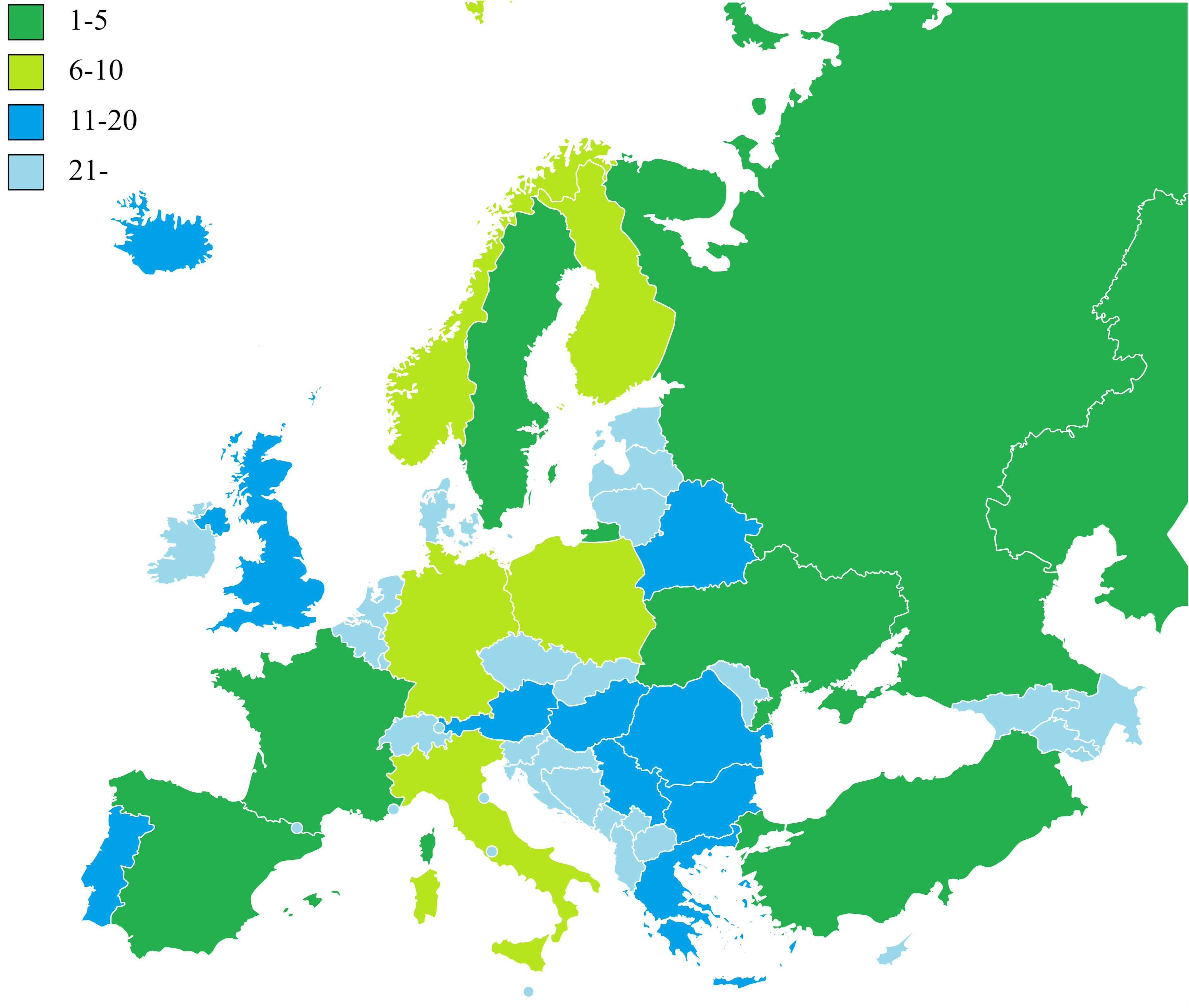
Русский: Страны Европы по площади |
| Date | |
| Source | Own work |
| Author | Дмитрий-5-Аверин |
Licensing[edit]
I, the copyright holder of this work, hereby publish it under the following license:
This file is licensed under the Creative Commons Attribution-Share Alike 3.0 Unported license.
- You are free:
- to share – to copy, distribute and transmit the work
- to remix – to adapt the work
- Under the following conditions:
- attribution – You must give appropriate credit, provide a link to the license, and indicate if changes were made. You may do so in any reasonable manner, but not in any way that suggests the licensor endorses you or your use.
- share alike – If you remix, transform, or build upon the material, you must distribute your contributions under the same or compatible license as the original.
File history
Click on a date/time to view the file as it appeared at that time.
| Date/Time | Thumbnail | Dimensions | User | Comment | |
|---|---|---|---|---|---|
| current | 10:41, 21 February 2023 | | 3,761 × 3,189 (1.02 MB) | Iktsokh (talk | contribs) | Updated |
| 17:01, 10 August 2022 |  | 4,592 × 3,196 (920 KB) | Рагин1987 (talk | contribs) | Added countries (Turkey and Kazakhstan are as transcontinental as Russia, Azerbaijan and Georgia may have small parts of the territories in Europe, Armenia and Cyprus are classified as Europe outside of geographic criteria). | |
| 11:35, 17 December 2011 |  | 450 × 422 (18 KB) | Дмитрий-5-Аверин (talk | contribs) |
You cannot overwrite this file.
File usage on Commons
There are no pages that use this file.
File usage on other wikis
The following other wikis use this file:
- Usage on av.wikipedia.org
- Usage on ce.wikipedia.org
- Usage on ky.wikipedia.org
- Usage on ru.wikipedia.org