File:Underwater Tomb of King Munmu.jpeg
From Wikimedia Commons, the free media repository
Jump to navigation
Jump to search
Size of this preview: 800 × 530 pixels. Other resolutions: 320 × 212 pixels | 640 × 424 pixels | 1,024 × 678 pixels | 1,280 × 848 pixels | 2,560 × 1,696 pixels | 4,879 × 3,232 pixels.
Original file (4,879 × 3,232 pixels, file size: 12.85 MB, MIME type: image/jpeg)
File information
Structured data
Captions
Summary[edit]
DescriptionUnderwater Tomb of King Munmu.jpeg |
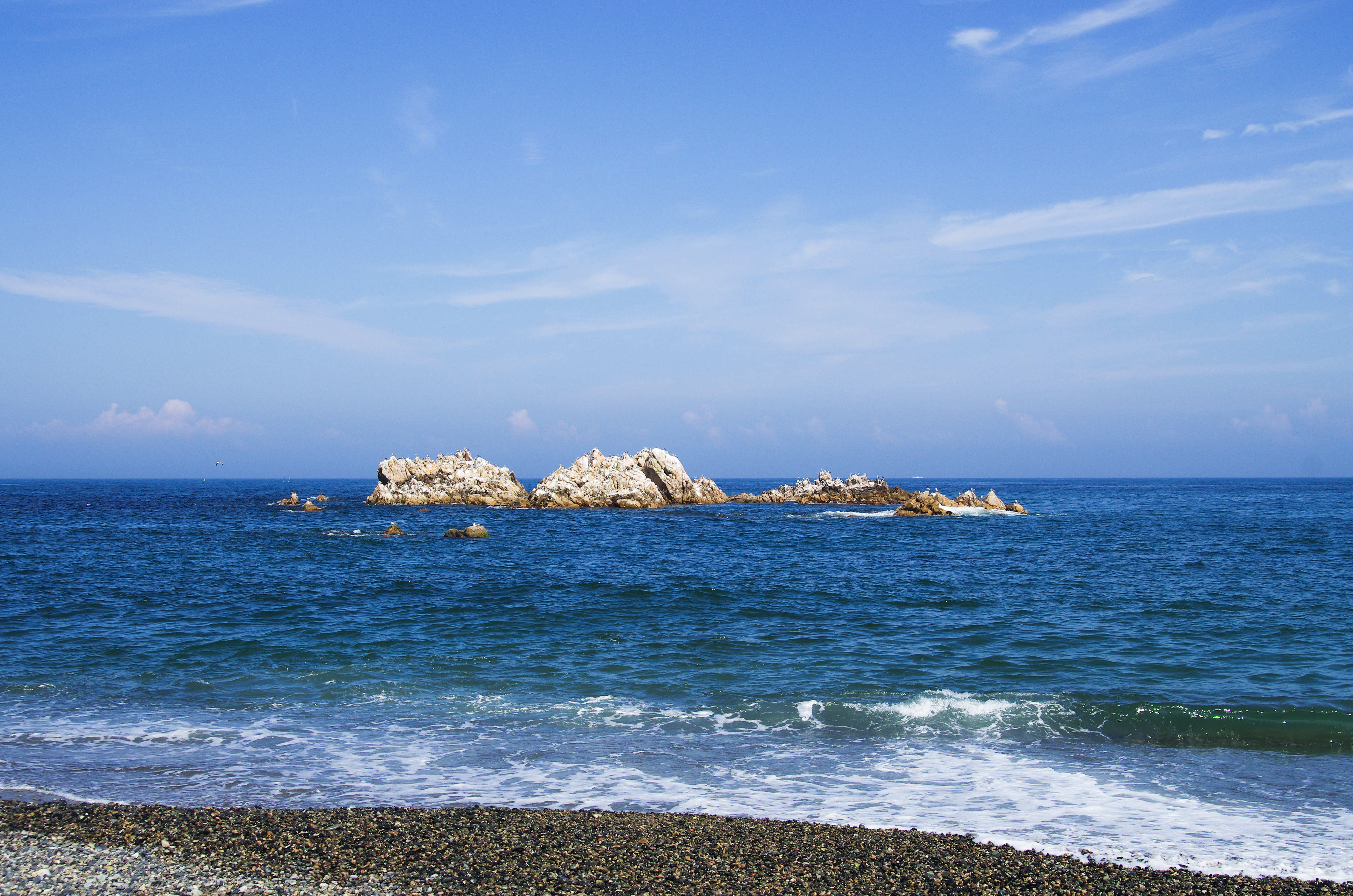
한국어: Underwater Tomb of King Munmu |
Date | |
Source | Self-photographed |
Author | vatar/편성재 |
Permission (Reusing this file) |
Licensed under CC-BY-SA-3.0 |
Licensing[edit]
I, the copyright holder of this work, hereby publish it under the following license:
This file is licensed under the Creative Commons Attribution-Share Alike 3.0 Unported license.
- You are free:
- to share – to copy, distribute and transmit the work
- to remix – to adapt the work
- Under the following conditions:
- attribution – You must give appropriate credit, provide a link to the license, and indicate if changes were made. You may do so in any reasonable manner, but not in any way that suggests the licensor endorses you or your use.
- share alike – If you remix, transform, or build upon the material, you must distribute your contributions under the same or compatible license as the original.
File history
Click on a date/time to view the file as it appeared at that time.
Date/Time | Thumbnail | Dimensions | User | Comment | |
---|---|---|---|---|---|
current | 07:59, 29 August 2013 | 4,879 × 3,232 (12.85 MB) | Vatar (talk | contribs) | {{파일 정보 |설명=Underwater Tomb of King Munmu |출처=직접촬영 |날짜=2013년 8월 25일 |만든이=vatar/편성재 |저작권=Licensed under CC-BY-SA-3.0 |기타= }} |
You cannot overwrite this file.
File usage on Commons
The following page uses this file:
File usage on other wikis
The following other wikis use this file:
- Usage on ko.wikipedia.org
- Usage on www.wikidata.org
Metadata
This file contains additional information such as Exif metadata which may have been added by the digital camera, scanner, or software program used to create or digitize it. If the file has been modified from its original state, some details such as the timestamp may not fully reflect those of the original file. The timestamp is only as accurate as the clock in the camera, and it may be completely wrong.
Camera manufacturer | PENTAX |
---|---|
Camera model | PENTAX K-5 |
Author | @Vatar |
Copyright holder |
|
Exposure time | 1/1,000 sec (0.001) |
F-number | f/8 |
ISO speed rating | 160 |
Date and time of data generation | 15:04, 25 August 2013 |
Lens focal length | 28 mm |
Latitude | 35° 44′ 17.9″ N |
Longitude | 129° 29′ 5.6″ E |
Altitude | 38.3 meters above sea level |
City shown | 경주시 |
Horizontal resolution | 240 dpc |
Vertical resolution | 240 dpc |
Software used | Adobe Photoshop Lightroom 4.2 (Windows) |
File change date and time | 16:54, 29 August 2013 |
Exposure Program | Aperture priority |
Exif version | 2.3 |
Date and time of digitizing | 15:04, 25 August 2013 |
APEX shutter speed | 9.965784 |
APEX aperture | 6 |
APEX exposure bias | −0.5 |
Metering mode | Center weighted average |
Flash | Flash did not fire, compulsory flash suppression |
Sensing method | One-chip color area sensor |
File source | Digital still camera |
Scene type | A directly photographed image |
Custom image processing | Normal process |
Exposure mode | Manual exposure |
White balance | Auto white balance |
Focal length in 35 mm film | 42 mm |
Scene capture type | Standard |
Contrast | Hard |
Saturation | Normal |
Sharpness | Hard |
Subject distance range | Distant view |
GPS time (atomic clock) | 06:05 |
Satellites used for measurement | 11,01,76,024,39,11,54,045,41,28,54,315,32,32,39,113,34,17,21,289,23,20,36,156,34,08,35,241,19,19,24,077,37,03,07,097,32,09,28,241,0,07,19,209,0 |
Receiver status | Measurement in progress |
Measurement mode | 3-dimensional measurement |
Measurement precision | Fair (1.9) |
Speed unit | Kilometers per hour |
Speed of GPS receiver | 0 |
Reference for direction of movement | True direction |
Direction of movement | 85.4 |
Geodetic survey data used | WGS-83 |
GPS date | 25 August 2013 |
GPS differential correction | 0 |
GPS tag version | 2.2.0.0 |
Lens used | TAMRON SP AF 28-75mm F2.8 XR Di |
Date metadata was last modified | 01:54, 30 August 2013 |
Unique ID of original document | B0606BF862943FA529B158F4353DFFDE |
Province or state shown | 경상북도 |
Country shown | 대한민국 |
Sublocation of city shown | 양북면 |
IIM version | 4 |
Structured data
Items portrayed in this file
depicts
25 August 2013
0.001 second
28 millimetre
160
image/jpeg
Hidden categories: