File:Map of Chengdo, South Korea.png
Jump to navigation
Jump to search

Size of this preview: 800 × 527 pixels. Other resolutions: 320 × 211 pixels | 640 × 422 pixels | 1,024 × 675 pixels | 1,500 × 989 pixels.
Original file (1,500 × 989 pixels, file size: 411 KB, MIME type: image/png)
Captions
Captions
Add a one-line explanation of what this file represents
Summary[edit]
| Description |
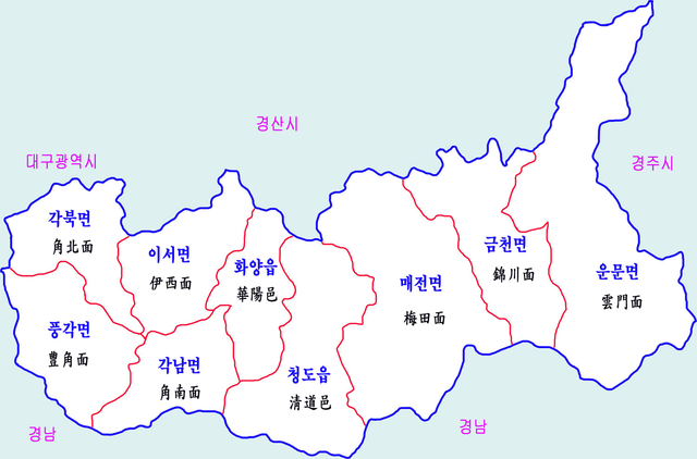
中文(臺灣):大韓民國慶尚北道清道郡的地圖
한국어: 청도군 행정구역도 |
| Date | |
| Source | Copy from Korean Wikipedia ko:File:Chengdo-map.png |
| Author | 장길산 |
Licensing[edit]
| This work has been released into the public domain by its author, 장길산. This applies worldwide. In some countries this may not be legally possible; if so: 장길산 grants anyone the right to use this work for any purpose, without any conditions, unless such conditions are required by law. |
File history
Click on a date/time to view the file as it appeared at that time.
| Date/Time | Thumbnail | Dimensions | User | Comment | |
|---|---|---|---|---|---|
| current | 07:42, 29 July 2016 | | 1,500 × 989 (411 KB) | S099001 (talk | contribs) | User created page with UploadWizard |
You cannot overwrite this file.
File usage on Commons
The following 2 pages use this file:
File usage on other wikis
The following other wikis use this file:
- Usage on en.wikipedia.org
- Usage on ja.wikipedia.org
- Usage on ko.wikipedia.org
- Usage on www.wikidata.org
- Usage on zh.wikipedia.org