File:Lebanon adm location map.svg

Original file (SVG file, nominally 992 × 1,141 pixels, file size: 133 KB)
Captions
Captions
Summary[edit]
| Description |
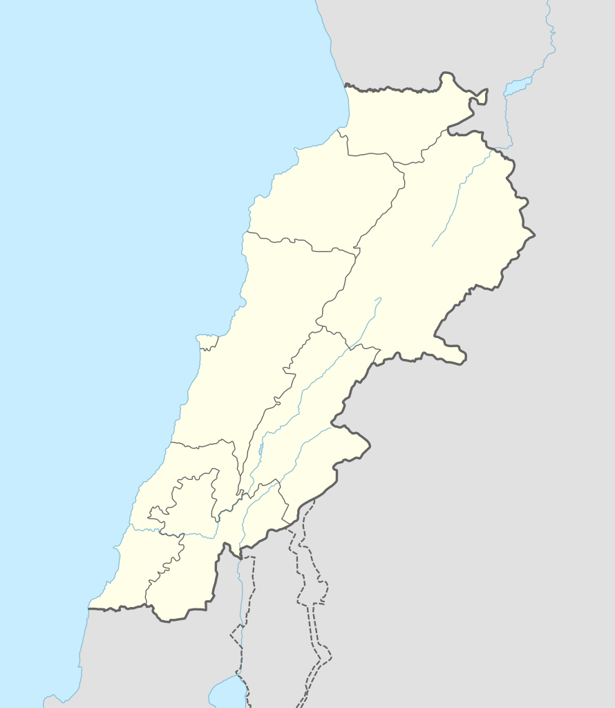
Deutsch: Positionskarte von Libanon
English: Location map of Lebanon
|
||||||||||||
| Date | |||||||||||||
| Source |
Own work using:
|
||||||||||||
| Author | NordNordWest | ||||||||||||
| SVG development | This map was created with Adobe Illustrator.
|
||||||||||||

Licensing[edit]
Usage of this file with:

explanatory notes: Legally binding is only the full legalcode. For a free usage I recommend to respect the following licence conditions:
1. Provide my name as given above: NordNordWest,
2. a copy of, or the URI for, the applicable license: https://creativecommons.org/licenses/by-sa/3.0/de/legalcode,
3. the title of the work,
4. in the case of an adaptation, a credit identifying the use of the work in the adaptation.
This license and the rights granted hereunder will terminate automatically upon any breach by you of the terms of this license. Any of the above conditions can be waived if you get permission from the copyright holder. If you have questions or wish differing conditions, please contact me through nnwest or my discussion page ![]() t-online.de
t-online.de
- You are free:
- to share – to copy, distribute and transmit the work
- to remix – to adapt the work
- Under the following conditions:
- attribution – You must give appropriate credit, provide a link to the license, and indicate if changes were made. You may do so in any reasonable manner, but not in any way that suggests the licensor endorses you or your use.
- share alike – If you remix, transform, or build upon the material, you must distribute your contributions under the same or compatible license as the original.

File history
Click on a date/time to view the file as it appeared at that time.
| Date/Time | Thumbnail | Dimensions | User | Comment | |
|---|---|---|---|---|---|
| current | 14:29, 20 September 2016 | | 992 × 1,141 (133 KB) | NordNordWest (talk | contribs) | corr |
| 08:37, 5 August 2016 |  | 992 × 1,141 (134 KB) | NordNordWest (talk | contribs) | corr | |
| 16:54, 1 February 2015 |  | 992 × 1,141 (133 KB) | NordNordWest (talk | contribs) | == {{int:filedesc}} == {{Information |Description= {{de|1=Positionskarte von Libanon}} {{en|1=Location map of Lebanon}} {{Location map series N |stretching=115 |top=34.9 |bottom=32.8 |left=34.8 |right=36.9 }} |Source={{Own using}} * United States Natio... |
You cannot overwrite this file.
File usage on Commons
The following 10 pages use this file:
File usage on other wikis
The following other wikis use this file:
- Usage on ar.wikipedia.org
- بعلبك
- الحر العاملي
- حبشيت
- الزواريب
- حلبا
- الشيخ محمد
- حاصبيا
- فنار (جبل لبنان)
- مقنة
- قصر الهرمل
- الدوري اللبناني الممتاز
- عصر الرعاة الحجري الحديث
- وحدة:Location map/data/Lebanon
- وحدة:Location map/data/Lebanon/شرح
- قالب:خريطة مفصلة للتمرد اللبناني
- الدوري اللبناني الممتاز 2017–18
- اشتباكات شمال لبنان (2014)
- الدوري اللبناني الممتاز 2018–19
- الدوري اللبناني الدرجة الثانية 2018–19
- قلعة البسترة
- الدوري اللبناني الممتاز 2016–17
- الدوري اللبناني الممتاز 2008–09
- الدوري اللبناني الممتاز 2010–11
- الدوري اللبناني الممتاز 2011–12
- الدوري اللبناني الممتاز 2015–16
- حادثة إطلاق النار في طرابلس 2019
- معركة صيدا (1991)
- بقعاتا (منطقة)
- معركة طرابلس (1983)
- الدوري اللبناني الدرجة الثانية 2020–21
- الدوري اللبناني الدرجة الثانية 2021–22
- الدوري اللبناني الممتاز 2023–24
- الدورة (لبنان)
- Usage on arz.wikipedia.org
- Usage on ast.wikipedia.org
View more global usage of this file.