File:BlankMap-EnglandRegions.png
Jump to navigation
Jump to search

Size of this preview: 485 × 599 pixels. Other resolutions: 194 × 240 pixels | 388 × 480 pixels | 621 × 768 pixels | 828 × 1,024 pixels | 2,140 × 2,645 pixels.
Original file (2,140 × 2,645 pixels, file size: 58 KB, MIME type: image/png)
Captions
Captions
Add a one-line explanation of what this file represents
Summary[edit]
| Description |
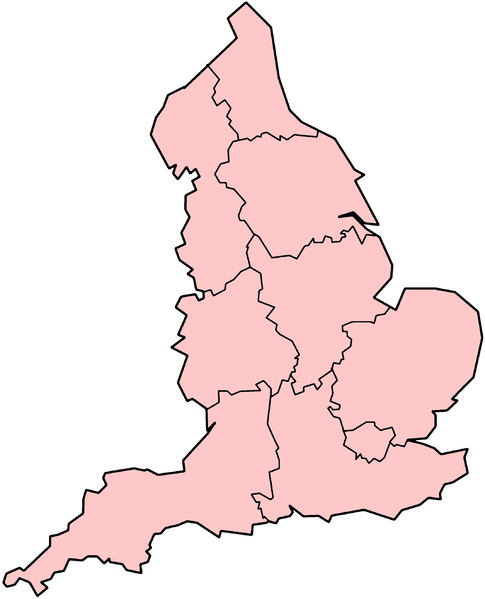
English: Blank map of English regions.
Lëtzebuergesch: Eidel Kaart vun England |
| Source | en:Image:BlankMap-EnglandRegions.png |
| Author | (original uploader) en:User:Morwen |
Licensing[edit]
| This file is licensed under the Creative Commons Attribution-Share Alike 3.0 Unported license. Subject to disclaimers. | ||
| ||
| This licensing tag was added to this file as part of the GFDL licensing update. |

|
Permission is granted to copy, distribute and/or modify this document under the terms of the GNU Free Documentation License, Version 1.2 or any later version published by the Free Software Foundation; with no Invariant Sections, no Front-Cover Texts, and no Back-Cover Texts. A copy of the license is included in the section entitled GNU Free Documentation License. Subject to disclaimers. |

|
This locator map image could be re-created using vector graphics as an SVG file. This has several advantages; see Commons:Media for cleanup for more information. If an SVG form of this image is available, please upload it and afterwards replace this template with
{{vector version available|new image name}}.
It is recommended to name the SVG file “BlankMap-EnglandRegions.svg”—then the template Vector version available (or Vva) does not need the new image name parameter. |
File history
Click on a date/time to view the file as it appeared at that time.
| Date/Time | Thumbnail | Dimensions | User | Comment | |
|---|---|---|---|---|---|
| current | 18:03, 7 January 2007 | | 2,140 × 2,645 (58 KB) | Michał P. (talk | contribs) | {{Information |Description={{en}} Blank map of English regions. |Source=en:Image:BlankMap-EnglandRegions.png |Date= |Author=(original uploader) en:User:Morwen |Permission= |other_versions= }} |
You cannot overwrite this file.
File usage on Commons
There are no pages that use this file.
File usage on other wikis
The following other wikis use this file:
- Usage on an.wikipedia.org
- Usage on ast.wikipedia.org
- Usage on br.wikipedia.org
- Usage on ckb.wikipedia.org
- Usage on cs.wikipedia.org
- Usage on en.wikipedia.org
- Usage on es.wikipedia.org
- Usage on fa.wikipedia.org
- Usage on fr.wikipedia.org
- Templiers en Angleterre
- Liste des commanderies templières dans l'Angleterre de l'Est
- Liste des commanderies templières dans les Midlands de l'Est
- Liste des commanderies templières dans les Midlands de l'Ouest
- Catégorie:Région en Angleterre
- Liste des commanderies templières dans l'Angleterre du Sud-Est
- Catégorie:Naissance en Angleterre
- Catégorie:Film tourné en Angleterre par région
- Liste des commanderies templières dans l'Angleterre du Sud-Ouest
- Catégorie:Décès en Angleterre
- Liste des commanderies templières dans le Grand Londres
- Catégorie:Naissance en Angleterre par région
- Usage on gv.wikipedia.org
- Usage on ko.wikipedia.org
- Usage on mk.wikipedia.org
View more global usage of this file.