File:Map of the Hyderabad princely state (1909).svg
Jump to navigation
Jump to search

Size of this PNG preview of this SVG file: 683 × 599 pixels. Other resolutions: 274 × 240 pixels | 547 × 480 pixels | 875 × 768 pixels | 1,167 × 1,024 pixels | 2,334 × 2,048 pixels.
Original file (SVG file, nominally 800 × 702 pixels, file size: 27 KB)
Captions
Captions
Add a one-line explanation of what this file represents
Summary[edit]
| Description |
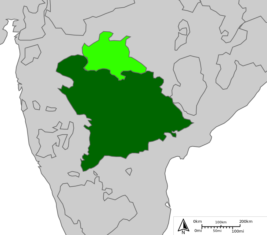
English: Map of Indian state of Hyderabad in 1909
Legend:
|
| Date | |
| Source |
http://sharemap.org/public/Hyderabad Geospatial data sources:
|
| Author | Jkan997 |
| SVG development | This W3C-invalid map was created with ShareMap.org. |


.svg&action=edit§ion=1)
Thumbnail with colored legend in caption[edit]
.svg&action=edit§ion=2)
.svg)
[[File:Hyderabad princely state 1909.svg|thumb|<center>Map of Indian state of Hyderabad in 1909 {{nowrap|([[ShareMap:public/Hyderabad|interactive version]])}}]]
Licensing[edit]
.svg&action=edit§ion=3)
I, the copyright holder of this work, hereby publish it under the following licenses:
This file is licensed under the Creative Commons Attribution-Share Alike 3.0 Unported license.
- You are free:
- to share – to copy, distribute and transmit the work
- to remix – to adapt the work
- Under the following conditions:
- attribution – You must give appropriate credit, provide a link to the license, and indicate if changes were made. You may do so in any reasonable manner, but not in any way that suggests the licensor endorses you or your use.
- share alike – If you remix, transform, or build upon the material, you must distribute your contributions under the same or compatible license as the original.

|
Permission is granted to copy, distribute and/or modify this document under the terms of the GNU Free Documentation License, Version 1.2 or any later version published by the Free Software Foundation; with no Invariant Sections, no Front-Cover Texts, and no Back-Cover Texts. A copy of the license is included in the section entitled GNU Free Documentation License. |
You may select the license of your choice.
File history
Click on a date/time to view the file as it appeared at that time.
| Date/Time | Thumbnail | Dimensions | User | Comment | |
|---|---|---|---|---|---|
| current | 12:18, 25 April 2012 | | 800 × 702 (27 KB) | Jkan997 (talk | contribs) | removed labels |
| 08:52, 25 April 2012 |  | 800 × 702 (28 KB) | Jkan997 (talk | contribs) | {{Information |Description ={{en|1=Map of Indian state of Hyderabad in 1909 Legend: *<span style="color:#646464">━━━</span>Princely states borders *<span style="color:#EEEEEE">━━━</span>Princely states territories *<span style="color:#... |
You cannot overwrite this file.
File usage on Commons
The following 4 pages use this file:
File usage on other wikis
The following other wikis use this file:
- Usage on ar.wikipedia.org
- Usage on az.wikipedia.org
- Usage on bn.wikipedia.org
- Usage on cs.wikipedia.org
- Usage on da.wikipedia.org
- Usage on en.wikipedia.org
- Usage on es.wikipedia.org
- Usage on eu.wikipedia.org
- Usage on fa.wikipedia.org
- Usage on fi.wikipedia.org
- Usage on hu.wikipedia.org
- Usage on hy.wikipedia.org
- Usage on id.wikipedia.org
- Usage on io.wikipedia.org
- Usage on it.wikipedia.org
- Usage on ja.wikipedia.org
- Usage on ko.wikipedia.org
- Usage on ml.wikipedia.org
- Usage on ms.wikipedia.org
- Usage on my.wikipedia.org
- Usage on pnb.wikipedia.org
- Usage on pt.wikipedia.org
- Usage on ru.wikipedia.org
- Usage on sd.wikipedia.org
- Usage on simple.wikipedia.org
- Usage on sv.wikipedia.org
- Usage on ta.wikipedia.org
- Usage on te.wikipedia.org
- Usage on tg.wikipedia.org
- Usage on th.wikipedia.org
- Usage on tr.wikipedia.org
- Usage on ur.wikipedia.org
- Usage on uz.wikipedia.org
- Usage on vi.wikipedia.org
- Usage on www.wikidata.org
View more global usage of this file.
.svg)
.svg&oldid=837142710)