File:CARvillagefromthesky.jpg
Jump to navigation
Jump to search

Size of this preview: 800 × 534 pixels. Other resolutions: 320 × 213 pixels | 640 × 427 pixels | 1,024 × 683 pixels.
Original file (1,024 × 683 pixels, file size: 312 KB, MIME type: image/jpeg)
Captions
Captions
Add a one-line explanation of what this file represents
| Description |
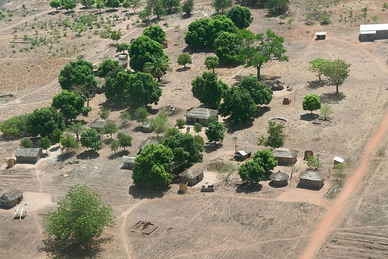
Green lands and villages in CAR. The pictures were taken from a plane flying from Bangui to Paoua. Credits: Brice Blondel for HDPTCAR - hdptcar.net |
| Date | |
| Source | CAR from the sky 06 |
| Author | hdptcar from Bangui, Central African Republic |
| Camera location | | View this and other nearby images on: OpenStreetMap |
|---|
Licensing[edit]
This file is licensed under the Creative Commons Attribution 2.0 Generic license.
- You are free:
- to share – to copy, distribute and transmit the work
- to remix – to adapt the work
- Under the following conditions:
- attribution – You must give appropriate credit, provide a link to the license, and indicate if changes were made. You may do so in any reasonable manner, but not in any way that suggests the licensor endorses you or your use.
| This image, originally posted to Flickr, was reviewed on December 21, 2008 by the administrator or reviewer File Upload Bot (Magnus Manske), who confirmed that it was available on Flickr under the stated license on that date. |
File history
Click on a date/time to view the file as it appeared at that time.
| Date/Time | Thumbnail | Dimensions | User | Comment | |
|---|---|---|---|---|---|
| current | 08:36, 21 December 2008 | | 1,024 × 683 (312 KB) | File Upload Bot (Magnus Manske) (talk | contribs) | {{Information |Description= Green lands and villages in CAR. The pictures were taken from a plane flying from Bangui to Paoua. Credits: Brice Blondel for HDPTCAR - [http://www.hdptcar.net hdptcar.net] |Source=[http://www.flickr.com/photos/8788342@N08/23 |
You cannot overwrite this file.
File usage on Commons
There are no pages that use this file.
File usage on other wikis
The following other wikis use this file:
- Usage on be.wikipedia.org
- Usage on ca.wikipedia.org
- Usage on ckb.wikipedia.org
- Usage on en.wikipedia.org
- Usage on fa.wikipedia.org
- Usage on fi.wikipedia.org
- Usage on fr.wikipedia.org
- Usage on hu.wikipedia.org
- Usage on id.wikipedia.org
- Usage on ja.wikipedia.org
- Usage on my.wikipedia.org
- Usage on mzn.wikipedia.org
- Usage on nds-nl.wikipedia.org
- Usage on nl.wikipedia.org
- Usage on pt.wikipedia.org
- Usage on sg.wikipedia.org
- Usage on si.wikipedia.org
- Usage on te.wikipedia.org
- Usage on www.wikidata.org