File:Mali (orthographic projection).svg
Jump to navigation
Jump to search

Size of this PNG preview of this SVG file: 550 × 550 pixels. Other resolutions: 240 × 240 pixels | 480 × 480 pixels | 768 × 768 pixels | 1,024 × 1,024 pixels | 2,048 × 2,048 pixels.
Original file (SVG file, nominally 550 × 550 pixels, file size: 83 KB)
Captions
Captions
Add a one-line explanation of what this file represents
je besoin de kate
Summary[edit]
| Description |
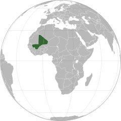
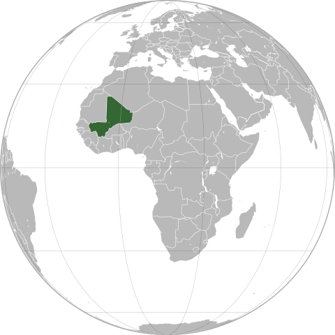
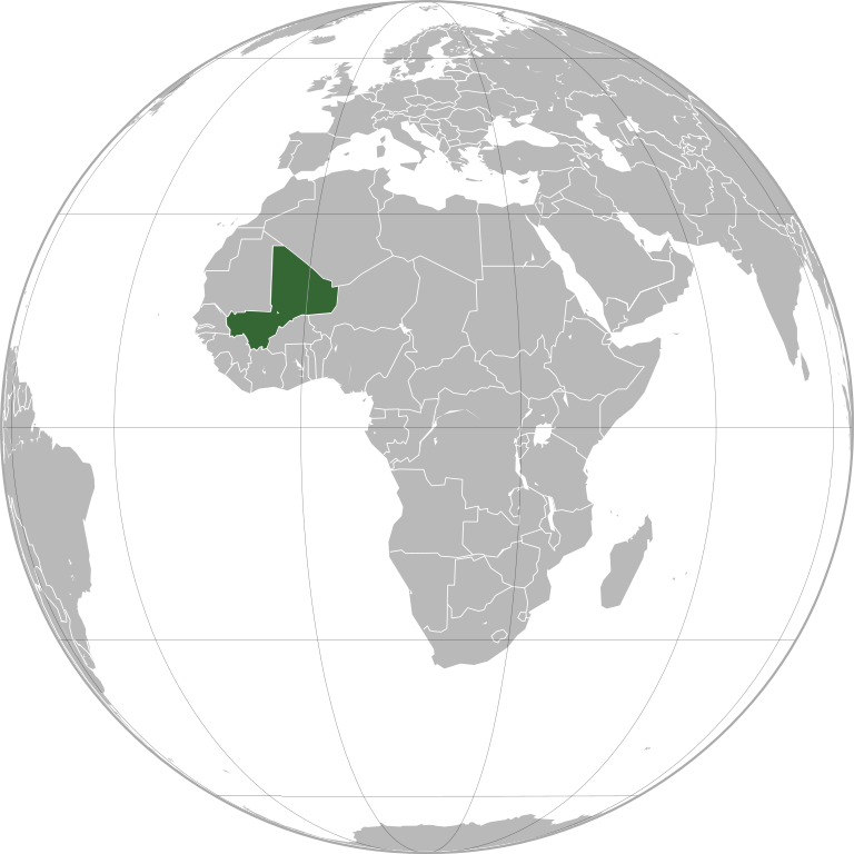
English: Mali (orthographic projection)
Português: Mali (projeção ortográfica)
Español: Mali (proyección ortográfica) |
||
| Date | |||
| Source | Own work | ||
| Author | Marcos Elias de Oliveira Júnior | ||
| Permission (Reusing this file) |
|
||
| Other versions |
|
.svg)
.svg)
.svg)
.svg)
.svg)
.svg)
.svg)
.svg)
.svg)
.svg)
.svg)
.svg)
.svg)
.svg)
.svg)
.svg)
.svg)
.svg)
.svg)
.svg)
.svg)
.svg)
.svg)
.svg)
.svg)
.svg)
.svg)
.svg)
.svg)
.svg)
.svg)
.svg)
.svg)
.svg)
.svg)
.svg)
.svg)
.svg)
.svg)
.svg)
.svg)
.svg)
.svg)
.svg)
.svg)
.svg)
.svg)
.svg)
.svg)
.svg)
.svg)
.svg)
.svg)
.svg)
.svg)
.svg)
.svg)
.svg)
.svg)
.svg)
.svg)
.svg)
.svg)
.svg)
.svg)
.svg)
.svg)
.svg)
.svg)
.svg)
.svg)
.svg)
.svg)
.svg)

.svg)

.svg)

.svg)
.svg)
.svg)
.svg)
.svg)
.svg)
.svg)


.svg)
.svg)
.svg)
.svg)
.svg)
.svg)
.svg)

.svg)
.svg)
.svg)
.svg)
.svg)
.svg)
.svg)
.svg)
.svg)

.svg)
.svg)
.svg)
.svg)
.svg)
.svg)
.svg)
_without_national_boundaries.svg)
.svg)
.svg)
.svg)
.svg)
.svg)
.svg)

.svg)
.svg)
.png)
.svg)
.svg)
.svg)
.svg)

.svg)
.svg)
.svg)
.svg)
.svg)
.svg)
.svg)
.svg)
.svg)
.svg)
.svg)

.svg)
.svg)
.svg)
.svg)
.svg)
.svg)
.svg)
.svg)
.svg)

.svg)
.svg)

.svg)
.svg)
.svg)
.svg)
.svg)
.svg)
.svg)
.svg)
.svg)
.svg)
.svg)
.svg)
.svg)
.svg)
.svg)
.svg)
.svg)
.svg)
.svg)
.svg)
.svg)
.svg)
.svg)
.svg)
.svg)
.svg)
.svg)
_-_Crimea_disputed.svg)
.svg)
.svg)
.svg)
.svg)
.svg)
.svg)
.svg)
.svg)
.svg)
.svg)
.svg)
_political.svg)
.svg)
.svg)
.svg)
.svg)
_-_Crimea_disputed_-_no_borders.svg)
.svg)
.svg)
.svg)
.svg)
.svg)
.svg)
.svg)
.svg)
.svg)
.svg)
.svg)

.svg)
.svg)
.svg)

.png)
.svg)
.svg)
.svg)
.svg)
.svg)
.svg)
.svg)
.svg)
.svg)
.svg)
.svg)
.svg)
.svg)
.svg)
.svg)
.svg)
.svg)
.svg)
.svg)
.svg)
.svg)
.svg)
.svg)
.svg)
.svg)
.svg)
.svg)
.svg)
.svg)
.svg)
.svg)
.svg)
.svg)
.svg)
.png)
.svg)
.svg)
.svg)
_(orthographic_projection).png)
.svg&action=edit§ion=1)
| Orthographic projections maps created by Ssolbergj |
|---|
| Orthographic projections maps created by Ssolbergj: |
.svg)
.svg)
File history
Click on a date/time to view the file as it appeared at that time.
.svg&dir=prev)
.svg&offset=20120612133023)
.svg&offset=&limit=20)
.svg&offset=&limit=50)
.svg&offset=&limit=100)
.svg&offset=&limit=250)
.svg&offset=&limit=500)
| Date/Time | Thumbnail | Dimensions | User | Comment | |
|---|---|---|---|---|---|
| current | 22:04, 18 July 2022 | | 550 × 550 (83 KB) | M.Bitton (talk | contribs) | added the missing border between Ethiopia and Eritrea, per request |
| 21:40, 12 September 2012 |  | 550 × 550 (108 KB) | Palosirkka (talk | contribs) | Scrubbed with http://codedread.com/scour/ | |
| 11:59, 19 July 2012 |  | 550 × 550 (284 KB) | Chipmunkdavis (talk | contribs) | http://www.france24.com/en/20120712-al-qaeda-linked-islamists-drive-malis-tuaregs-last-stronghold-ansogo-timbuktu-mnla-ansar-dine-mujao MNLA fully removed, Asar Dine does not claim independence. Azawad no longer exists as a state. | |
| 01:19, 2 July 2012 |  | 550 × 550 (236 KB) | Chipmunkdavis (talk | contribs) | MNLA still claims they control everything outside the three major towns, [http://www.timeslive.co.za/africa/2012/06/30/islamists-destroy-mali-world-heritage-sites]. Discussion ongoing at en:Talk:List of States with Limited Recognition | |
| 17:18, 30 June 2012 |  | 550 × 550 (284 KB) | Aotearoa (talk | contribs) | Reverted to version as of 22:34, 12 June 2012, Independent Azawad is not existed at the moment (territory under administration of anti-independent Ansar Dine | |
| 21:26, 13 June 2012 |  | 550 × 550 (236 KB) | Chipmunkdavis (talk | contribs) | Reverted to version as of 14:18, 12 June 2012 Unexplained revert against talk consensus | |
| 22:34, 12 June 2012 |  | 550 × 550 (284 KB) | Boudoul (talk | contribs) | Reverted to version as of 13:30, 12 June 2012 | |
| 22:34, 12 June 2012 |  | 550 × 550 (284 KB) | Boudoul (talk | contribs) | Reverted to version as of 13:30, 12 June 2012 | |
| 14:18, 12 June 2012 |  | 550 × 550 (236 KB) | Chipmunkdavis (talk | contribs) | For most of the countries to which it applies, it is used. See talk page for further discussion. | |
| 13:30, 12 June 2012 |  | 550 × 550 (284 KB) | Boudoul (talk | contribs) | Outside of central government control will be true for so many countries - that's a ridiculous reason. |
You cannot overwrite this file.
File usage on Commons
More than 100 pages use this file. The following list shows the first 100 pages that use this file only. A full list is available.
.svg)
- Grey–green orthographic projections maps
- Mali
- User:Heraldry/Projections
- User:Ssolbergj/orthographic
- File:ALBA (orthographic projection).png
- File:Africa (orthographic projection).svg
- File:African Union (orthographic projection).svg
- File:Almoravid map.svg
- File:America do Sul (orthographic projection).jpg
- File:Americas (orthographic projection).svg
- File:Andean Community (orthographic projection).svg
- File:Antarctica (orthographic projection).svg
- File:Antillas (orthographic projection).svg
- File:Arctic (orthographic projection).svg
- File:Argentina (orthographic projection).png
- File:Argentina (orthographic projection).svg
- File:Aridoamerica (orthographic projection).svg
- File:Armenia (orthographic projection).svg
- File:Asia (orthographic projection).svg
- File:Association of Southeast Asian Nations (orthographic projection).svg
- File:Australia-New Guinea (orthographic projection).svg
- File:Australia (orthographic projection).svg
- File:Australia map with outlying islands.svg
- File:Bhutan (orthographic projection).svg
- File:Brazil (orthographic projection).svg
- File:CECAFA-Map.svg
- File:Canada (orthographic projection).svg
- File:Cape Verde (orthographic projection).svg
- File:Captaincy General of Chile (orthographic projection).svg
- File:Central America (orthographic projection).svg
- File:Central Asia (orthographic projection).svg
- File:Chile (orthographic projection).svg
- File:Colombia (orthographic projection).svg
- File:Democratic Republic of the Congo (orthographic projection).svg
- File:Dominion of Pakistan & Indian Controlled Kashmir (orthographic projection).svg
- File:East Asia (orthographic projection).svg
- File:Ecuador (orthographic projection).svg
- File:Europe (orthographic projection).svg
- File:European Union (orthographic projection).svg
- File:Federal Republic of Central America (orthographic projection).svg
- File:First Brazilian Empire (orthographic projection).svg
- File:First Mexican Empire (orthographic projection).svg
- File:Georgia (orthographic projection).svg
- File:Germany (orthographic projection).svg
- File:Global European Union.svg
- File:Great Colombia (orthographic projection).svg
- File:Greater Middle East (orthographic projection).svg
- File:Haiti (orthographic projection).svg
- File:India (orthographic projection).svg
- File:Indonesia (orthographic projection).svg
- File:Iran (orthographic projection).svg
- File:Iraq (orthographic projection).svg
- File:Jamaica (orthographic projection).svg
- File:Japan (orthographic projection).svg
- File:Kazakhstan (orthographic projection).svg
- File:Latin America (orthographic projection).svg
- File:Lusophone America (orthographic projection).svg
- File:MERCOSUR (orthographic projection).svg
- File:Madagascar (orthographic projection).svg
- File:Maghreb (orthographic projection).svg
- File:Malaysia (orthographic projection).svg
- File:Mayan languages (orthographic projection).svg
- File:Mesoamerica (orthographic projection) with borders.svg
- File:Mexico (orthographic projection).svg
- File:Mexico and Central America (orthographic projection).svg
- File:Middle East (orthographic projection).svg
- File:Mongolia (orthographic projection).svg
- File:New Spain (orthographic projection).svg
- File:New Zealand (orthographic projection).svg
- File:Nigeria (orthographic projection).svg
- File:North Africa (orthographic projection).svg
- File:North America (orthographic projection).svg
- File:North American Agreement (orthographic projection).svg
- File:North Korea (orthographic projection).svg
- File:Papua New Guinea (orthographic projection).svg
- File:Paraguay (orthographic projection).svg
- File:People's Republic of China (orthographic projection).svg
- File:Peru (orthographic projection).svg
- File:Peru–Bolivia Confederation (orthographic projection).svg
- File:Philippines (orthographic projection).svg
- File:Republic of Artsakh (orthographic projection).svg
- File:Rio Group (orthographic projection).svg
- File:Roman Empire (orthographic projection).svg
- File:Russian Federation (orthographic projection).svg
- File:Second Mexican Empire (orthographic projection).svg
- File:South Asia (orthographic projection) without national boundaries.svg
- File:South Korea (orthographic projection).svg
- File:Southern Europe (orthographic projection).svg
- File:Tawantinsuyu (orthographic projection).svg
- File:The Philippines and ASEAN (orthographic projection).svg
- File:Third Reich (orthographic projection).svg
- File:Tunisia (orthographic projection).svg
- File:Turkey (orthographic projection).svg
- File:Union of South American Nations (orthographic projection).svg
- File:Union of Soviet Socialist Republics (orthographic projection).svg
- File:United Provinces of Central America (orthographic projection).svg
- File:Venezuela (orthographic projection).svg
- File:Viceroyalty of Peru (orthographic projection).svg
- File:Viceroyalty of the Río de la Plata (orthographic projection).svg
- File:Wilsonian Armenia (orthographic projection).svg
.png)
.svg)
.jpg)
.svg)
.svg)
.png)
.svg)
.svg)
.svg)
.svg)
.svg)
.svg)
.svg)
_with_borders.svg)
.svg)
.svg)
.svg)
.svg)
.svg)
.svg)
View more links to this file.
File usage on other wikis
The following other wikis use this file:
- Usage on ace.wikipedia.org
- Usage on ami.wikipedia.org
- Usage on ang.wikipedia.org
- Usage on ar.wikipedia.org
- مالي
- مستخدم:جار الله/قائمة صور مقالات العلاقات الثنائية
- العلاقات الأمريكية المالية
- العلاقات الأنغولية المالية
- العلاقات الكورية الجنوبية المالية
- العلاقات الإريترية المالية
- العلاقات السويسرية المالية
- العلاقات الألمانية المالية
- العلاقات الليختنشتانية المالية
- العلاقات البوليفية المالية
- العلاقات المالية الموزمبيقية
- العلاقات الألبانية المالية
- العلاقات البلجيكية المالية
- العلاقات الإثيوبية المالية
- العلاقات البيلاروسية المالية
- العلاقات الطاجيكستانية المالية
- العلاقات الروسية المالية
- العلاقات الرومانية المالية
- العلاقات الأرجنتينية المالية
- العلاقات الغامبية المالية
- العلاقات القبرصية المالية
- العلاقات السيراليونية المالية
- العلاقات المالية النيبالية
- العلاقات الليبيرية المالية
- العلاقات التشيكية المالية
- العلاقات المالية الميانمارية
- العلاقات العراقية المالية
- العلاقات البريطانية المالية
- العلاقات الكندية المالية
- العلاقات الكوبية المالية
- العلاقات الكورية الشمالية المالية
- العلاقات الكوستاريكية المالية
- العلاقات الكولومبية المالية
- العلاقات الكيريباتية المالية
- العلاقات الكينية المالية
- العلاقات اللاتفية المالية
- العلاقات اللاوسية المالية
- العلاقات اللبنانية المالية
- العلاقات اللوكسمبورغية المالية
- العلاقات الليبية المالية
- العلاقات الليتوانية المالية
- العلاقات الليسوتوية المالية
- العلاقات المالاوية المالية
- العلاقات المالطية المالية
- العلاقات المالية النيجيرية
- العلاقات المالية الناوروية
- العلاقات المالية المصرية
View more global usage of this file.
.svg)
.svg&oldid=772819632)