File:Nl-map-10-10-10.png
Jump to navigation
Jump to search
No higher resolution available.
Nl-map-10-10-10.png (330 × 355 pixels, file size: 19 KB, MIME type: image/png)
Captions
Captions
Add a one-line explanation of what this file represents
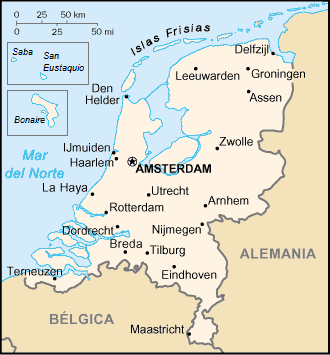
| Description | Fuente original: es:CIA World Factbook. Mapa de Países Bajos traducido por Wesisnay es:Categoría:Europa (imagen) es:Categoría:Mapas de Europa (imagen) |
| Date | (UTC) |
| Source | |
| Author |
|
| This is a retouched picture, which means that it has been digitally altered from its original version. Modifications: adding Bonaire, St. Eustatius and Saba. The original can be viewed here: Nl-map.png:
|
I, the copyright holder of this work, hereby publish it under the following licenses:
| This file is licensed under the Creative Commons Attribution-Share Alike 3.0 Unported license. | ||
| ||
| This licensing tag was added to this file as part of the GFDL licensing update. |

|
Permission is granted to copy, distribute and/or modify this document under the terms of the GNU Free Documentation License, Version 1.2 or any later version published by the Free Software Foundation; with no Invariant Sections, no Front-Cover Texts, and no Back-Cover Texts. A copy of the license is included in the section entitled GNU Free Documentation License. |
You may select the license of your choice.
Original upload log[edit]
This image is a derivative work of the following images:
- File:Nl-map.png licensed with Cc-by-sa-3.0-migrated, GFDL
- 2007-02-21T22:53:43Z Yrithinnd 330x355 (19207 Bytes) {{Information |Description=Fuente original: [[:es:CIA World Factbook]]. Mapa de Países Bajos traducido por Wesisnay [[:es:Categoría:Europa (imagen)]] [[:es:Categoría:Mapas de Europa (imagen)]] |Source=Originally from [h
Uploaded with derivativeFX
File history
Click on a date/time to view the file as it appeared at that time.
| Date/Time | Thumbnail | Dimensions | User | Comment | |
|---|---|---|---|---|---|
| current | 16:55, 24 January 2011 | | 330 × 355 (19 KB) | LennartBolks~commonswiki (talk | contribs) | {{Information |Description=Fuente original: es:CIA World Factbook. Mapa de Países Bajos traducido por Wesisnay es:Categoría:Europa (imagen) es:Categoría:Mapas de Europa (imagen) |Source=*File:Nl-map.png |Date=2011-01-24 16:54 (U |
You cannot overwrite this file.
File usage on Commons
There are no pages that use this file.
File usage on other wikis
The following other wikis use this file:
- Usage on es.wikipedia.org
- Usage on ia.wikipedia.org
- Usage on lfn.wikipedia.org