File:North Korea location map 2.svg
Jump to navigation
Jump to search

Size of this PNG preview of this SVG file: 596 × 600 pixels. Other resolutions: 239 × 240 pixels | 477 × 480 pixels | 763 × 768 pixels | 1,018 × 1,024 pixels | 2,035 × 2,048 pixels | 1,606 × 1,616 pixels.
Original file (SVG file, nominally 1,606 × 1,616 pixels, file size: 307 KB)
Captions
Captions
Add a one-line explanation of what this file represents
Summary[edit]
| Description |
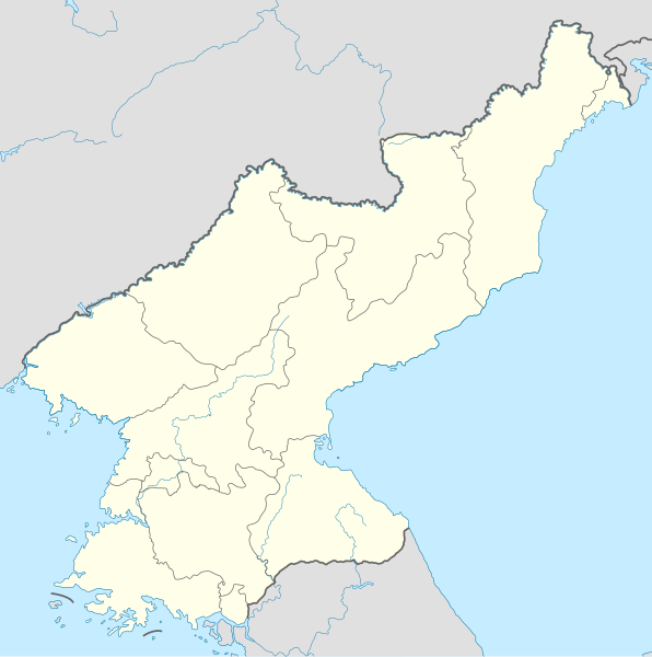
English: reduce en:Pyongyang area and add en:Nampho in en:North Korea location map - file:North Korea location map.svg |
| Date | |
| Source | Own work using [1], [2] |
| Author | NordNordWest modified by 102orion |
Licensing[edit]
I, the copyright holder of this work, hereby publish it under the following license:
This file is licensed under the Creative Commons Attribution-Share Alike 3.0 Unported license.
- You are free:
- to share – to copy, distribute and transmit the work
- to remix – to adapt the work
- Under the following conditions:
- attribution – You must give appropriate credit, provide a link to the license, and indicate if changes were made. You may do so in any reasonable manner, but not in any way that suggests the licensor endorses you or your use.
- share alike – If you remix, transform, or build upon the material, you must distribute your contributions under the same or compatible license as the original.
File history
Click on a date/time to view the file as it appeared at that time.
| Date/Time | Thumbnail | Dimensions | User | Comment | |
|---|---|---|---|---|---|
| current | 11:56, 12 January 2023 | | 1,606 × 1,616 (307 KB) | LCCBM (talk | contribs) | Reverted to version as of 19:33, 8 March 2020 (UTC) |
| 07:44, 20 December 2020 |  | 1,606 × 1,616 (306 KB) | Hyujm (talk | contribs) | Reverted to version as of 11:43, 27 January 2012 (UTC) | |
| 19:33, 8 March 2020 |  | 1,606 × 1,616 (307 KB) | Nv7801 (talk | contribs) | Kaesung upgraded. | |
| 11:43, 27 January 2012 |  | 1,606 × 1,616 (306 KB) | 102orion (talk | contribs) |
You cannot overwrite this file.
File usage on Commons
The following 2 pages use this file:
- Atlas of North Korea
- File:North Korea location map 2.1.svg (file redirect)
File usage on other wikis
The following other wikis use this file:
- Usage on ace.wikipedia.org
- Usage on cy.wikipedia.org
- Usage on fa.wikipedia.org
- Usage on hi.wikipedia.org
- Usage on hu.wikipedia.org
- Usage on hu.wiktionary.org
- Usage on id.wikipedia.org
- Usage on is.wikipedia.org
- Usage on it.wikipedia.org
- Usage on ja.wikipedia.org
- Usage on km.wikipedia.org
- Usage on ko.wikipedia.org
- Usage on lv.wikipedia.org
- Usage on mai.wikipedia.org
- Usage on mk.wikipedia.org
- Usage on ms.wikipedia.org
- Usage on mzn.wikipedia.org
- Usage on pl.wikipedia.org
- Usage on pt.wikipedia.org
- Usage on sd.wikipedia.org
- Usage on sh.wikipedia.org
- Usage on th.wikipedia.org
- Usage on tl.wikipedia.org
- Usage on tr.wikipedia.org
- Usage on ur.wikipedia.org