File:Mediterranean Sea political map-hr.svg
Jump to navigation
Jump to search

Size of this PNG preview of this SVG file: 800 × 585 pixels. Other resolutions: 320 × 234 pixels | 640 × 468 pixels | 1,024 × 749 pixels | 1,280 × 936 pixels | 2,560 × 1,872 pixels | 2,046 × 1,496 pixels.
Original file (SVG file, nominally 2,046 × 1,496 pixels, file size: 3.13 MB)
Captions
Captions
Add a one-line explanation of what this file represents
Summary[edit]
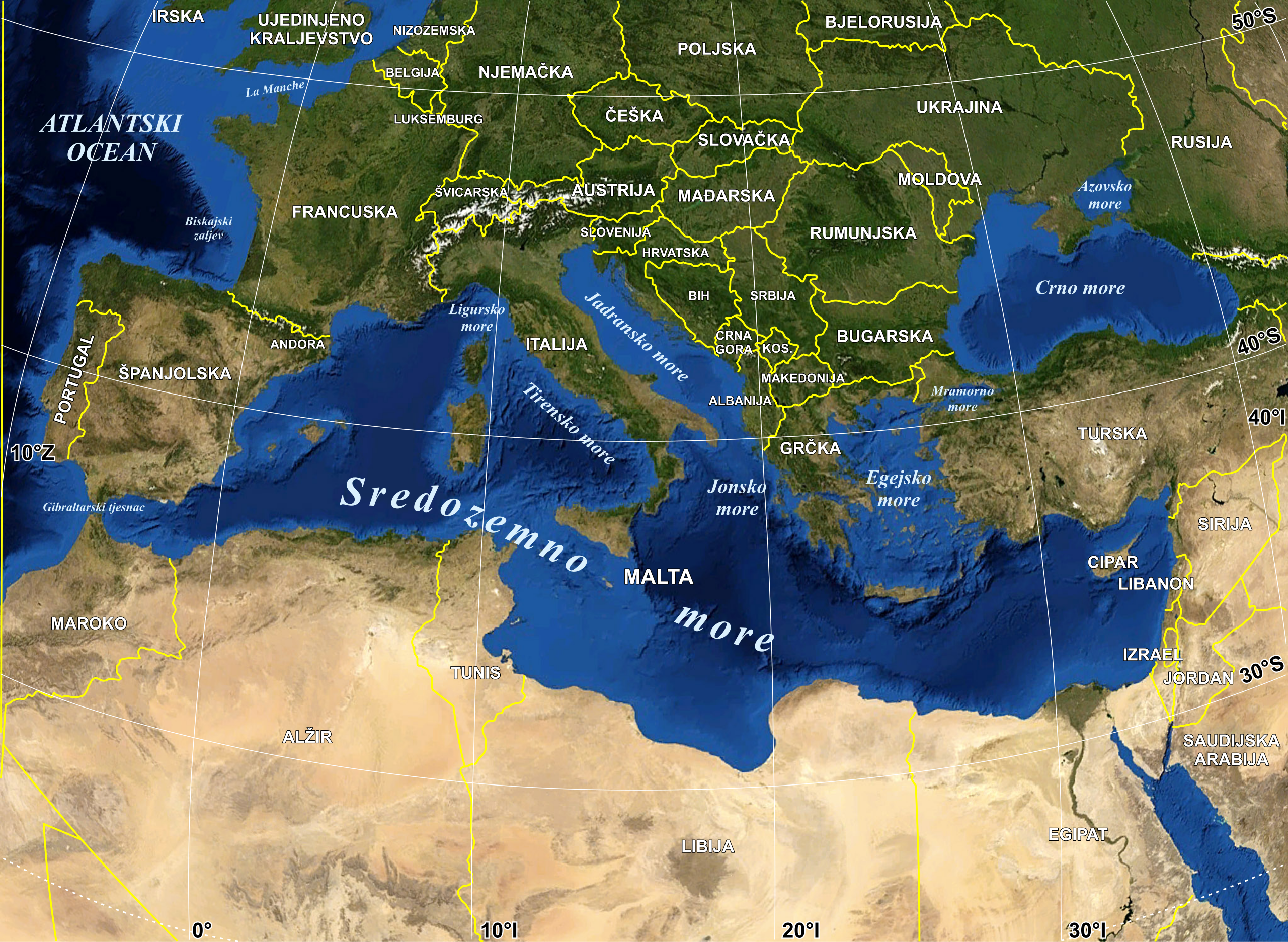
| Description |
Hrvatski: Politička karta Sredozemlja |
| Date | |
| Source | Own work based on: Mediterranean Sea political map-en.svg |
| Author |
|
| Permission (Reusing this file) |
All rights released |
| SVG development |

Licensing[edit]
| This image is in the public domain because it is a screenshot from NASA’s globe software World Wind using a public domain layer, such as Blue Marble, MODIS, Landsat, SRTM, USGS or GLOBE.
|
 |
| This work was previously under Public Domain, or a Free License. It has been digitally enhanced and/or modified. This derivative work has been (or is hereby) released into the public domain by its author, Sting at the French Wikipedia project. This applies worldwide. In some countries this is not legally possible; if so:
|
File history
Click on a date/time to view the file as it appeared at that time.
| Date/Time | Thumbnail | Dimensions | User | Comment | |
|---|---|---|---|---|---|
| current | 17:25, 7 December 2021 | | 2,046 × 1,496 (3.13 MB) | MaGa (talk | contribs) | fix2 |
| 17:07, 7 December 2021 |  | 984 × 719 (2.05 MB) | MaGa (talk | contribs) | fix | |
| 09:51, 15 February 2012 |  | 984 × 719 (2.31 MB) | MaGa (talk | contribs) | Final correction | |
| 09:26, 15 February 2012 |  | 986 × 721 (2.59 MB) | MaGa (talk | contribs) | Lower resolution | |
| 09:18, 15 February 2012 |  | 984 × 767 (3.24 MB) | MaGa (talk | contribs) | {{Information |Description={{hr|Politička karta Sredozemlja}} |Source=*File:Mediterranean Sea political map-en.svg |Date=15. veljače 2012. |Author=*Mediterranean Sea political map-en.svg: [[Eric Gaba |
You cannot overwrite this file.
File usage on Commons
The following 3 pages use this file:
File usage on other wikis
The following other wikis use this file:
- Usage on hr.wikipedia.org
- Usage on sh.wikipedia.org