File:Indian Ocean-CIA WFB Map.png
Jump to navigation
Jump to search
No higher resolution available.
Indian_Ocean-CIA_WFB_Map.png (330 × 330 pixels, file size: 11 KB, MIME type: image/png)
Captions
Captions
it is the ocean of India

|
This locator map image could be re-created using vector graphics as an SVG file. This has several advantages; see Commons:Media for cleanup for more information. If an SVG form of this image is available, please upload it and afterwards replace this template with
{{vector version available|new image name}}.
It is recommended to name the SVG file “Indian Ocean-CIA WFB Map.svg”—then the template Vector version available (or Vva) does not need the new image name parameter. |
Summary[edit]
| Description |
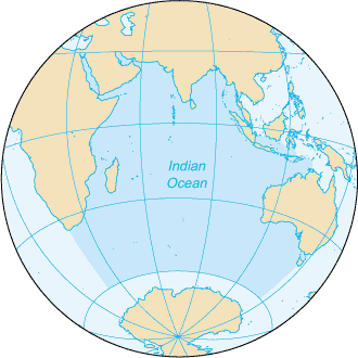
English: Map of The Indian Ocean with English captions. |
|||
| Date | ||||
| Source | The World Factbook | |||
| Author | United States Central Intelligence Agency | |||
| Permission (Reusing this file) |
|
|||
| Other versions |
|


Derivative works[edit]
Derivative works of this file: Samudra Hindia.png
File history
Click on a date/time to view the file as it appeared at that time.
| Date/Time | Thumbnail | Dimensions | User | Comment | |
|---|---|---|---|---|---|
| current | 09:14, 27 March 2005 | | 330 × 330 (11 KB) | Wolfman~commonswiki (talk | contribs) | {{CIA-map}} |
You cannot overwrite this file.
File usage on Commons
The following 7 pages use this file:
File usage on other wikis
The following other wikis use this file:
- Usage on am.wikipedia.org
- Usage on ang.wikipedia.org
- Usage on anp.wikipedia.org
- Usage on as.wikipedia.org
- Usage on azb.wikipedia.org
- Usage on ba.wikipedia.org
- Usage on be.wikipedia.org
- Usage on bg.wikipedia.org
- Usage on bh.wikipedia.org
- Usage on bjn.wikipedia.org
- Usage on blk.wikipedia.org
- Usage on cdo.wikipedia.org
- Usage on ckb.wikipedia.org
- Usage on co.wikipedia.org
- Usage on cs.wikipedia.org
- Usage on dty.wikipedia.org
- Usage on el.wikipedia.org
- Usage on en.wikipedia.org
- Usage on en.wikibooks.org
- Usage on en.wikinews.org
- Usage on en.wikisource.org
- Usage on en.wikiversity.org
- Usage on en.wiktionary.org
- Usage on fa.wikipedia.org
- Usage on fo.wikipedia.org
- Usage on gor.wikipedia.org
- Usage on gu.wikipedia.org
- Usage on gv.wikipedia.org
- Usage on hak.wikipedia.org
- Usage on ha.wikipedia.org
- Usage on he.wikipedia.org
- Usage on hi.wikipedia.org
- Usage on hu.wikipedia.org
- Usage on id.wikipedia.org
View more global usage of this file.