File:La Coruña-loc.svg
Jump to navigation
Jump to search

Size of this PNG preview of this SVG file: 512 × 527 pixels. Other resolutions: 233 × 240 pixels | 466 × 480 pixels | 746 × 768 pixels | 995 × 1,024 pixels | 1,990 × 2,048 pixels.
Original file (SVG file, nominally 512 × 527 pixels, file size: 399 KB)
Captions
Captions
Add a one-line explanation of what this file represents
Summary[edit]
| Description |
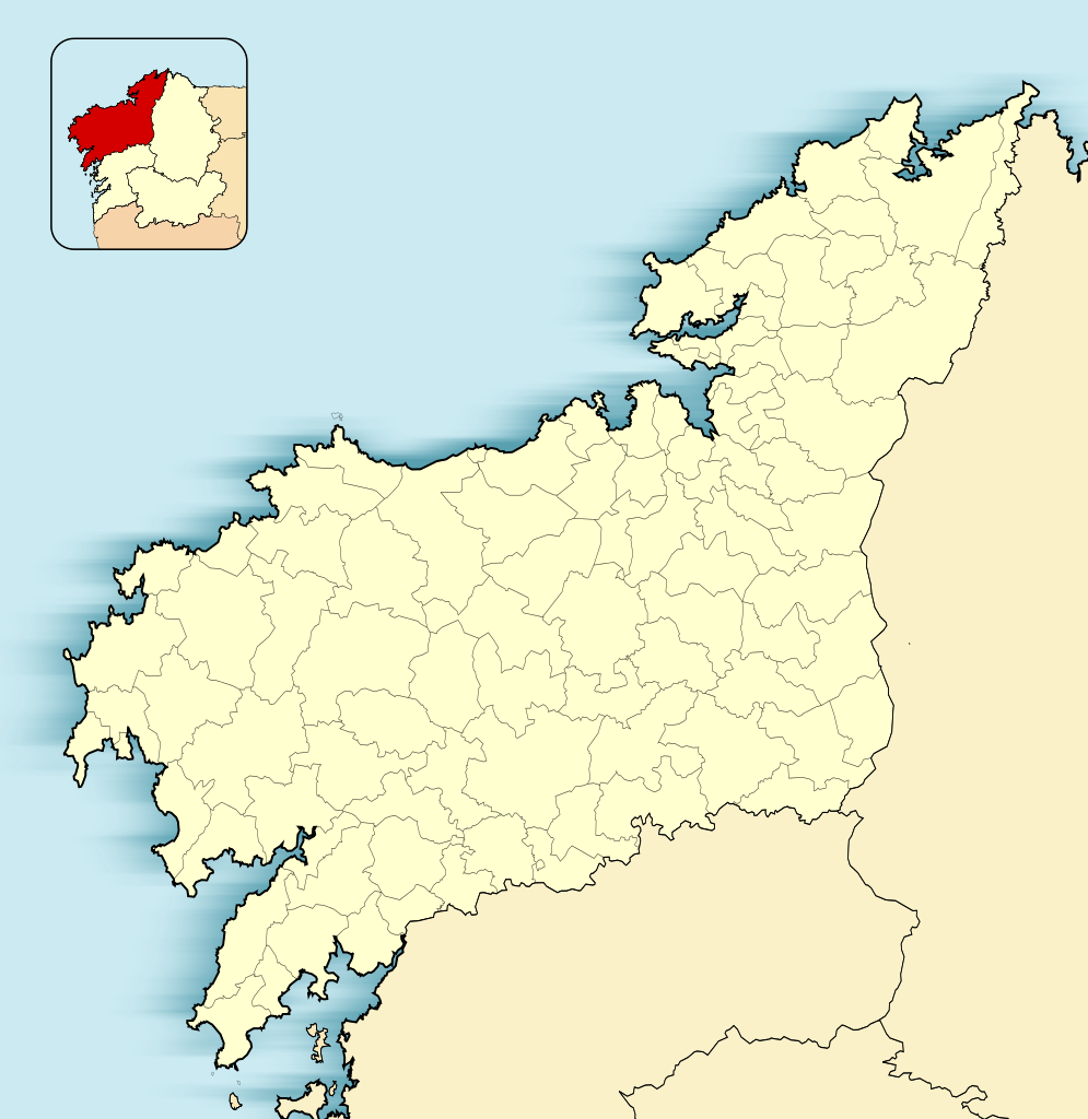
English: Location map of Province of A Coruña
Equirectangular projection, N/S stretching 130 %. Geographic limits of the map:
Español: Mapa de localización de la Provincia de La Coruña
Proyección equirrectangular (cilíndrica equidistante), N/S estirada 130 %. Límites geográficos del mapa:
|
|
| Date | ||
| Source | Own work based on: EspañaLoc.svg by HansenBCN | |
| Author | Miguillen | |
| SVG development |
|
Licensing[edit]
Miguillen, the copyright holder of this work, hereby publishes it under the following license:
This file is licensed under the Creative Commons Attribution-Share Alike 3.0 Unported license.
Attribution: Miguillen
- You are free:
- to share – to copy, distribute and transmit the work
- to remix – to adapt the work
- Under the following conditions:
- attribution – You must give appropriate credit, provide a link to the license, and indicate if changes were made. You may do so in any reasonable manner, but not in any way that suggests the licensor endorses you or your use.
- share alike – If you remix, transform, or build upon the material, you must distribute your contributions under the same or compatible license as the original.
File history
Click on a date/time to view the file as it appeared at that time.
| Date/Time | Thumbnail | Dimensions | User | Comment | |
|---|---|---|---|---|---|
| current | 11:43, 10 December 2010 | | 512 × 527 (399 KB) | Miguillen (talk | contribs) | Colores según convención |
| 12:13, 17 November 2010 |  | 512 × 527 (272 KB) | Miguillen (talk | contribs) | == {{int:filedesc}} == {{Information |Description={{en|Location map of Province of La Coruña}} Equirectangular projection, N/S stretching 130 %. Geographic limits of the map: * N: ° N * S: ° N * W: ° O * E: ° E |
You cannot overwrite this file.
File usage on Commons
The following page uses this file:
File usage on other wikis
The following other wikis use this file:
- Usage on ar.wikipedia.org
- Usage on azb.wikipedia.org
- Usage on ba.wikipedia.org
- Usage on br.wikipedia.org
- Usage on ceb.wikipedia.org
- Usage on en.wikipedia.org
- Usage on eo.wikipedia.org
- Korunjo
- Betanzos
- Provinco Korunjo
- Ribeira
- Pobra do Karaminjal
- Ferrol
- Padrón (Korunjo)
- Santiago-de-Kompostelo
- Katedralo de Santiago-de-Kompostelo
- Curtis
- Santiago de Compostela (stacidomo)
- Ŝablono:Situo sur mapo Hispanio Provinco Korunjo
- A Coruña (stacidomo)
- Ferrol (stacidomo)
- Ortigueira (stacidomo)
- Ortigueira
- San Xoán (stacidomo)
- Virxe do Mar (stacidomo)
- Narón
- Santa Icía (stacidomo)
- Senra (stacidomo)
- Pedroso de Narón (stacidomo)
- Xuvia (stacidomo)
- Piñeiros (stacidomo)
- O Alto do Castiñeiro (stacidomo)
- O Ponto (stacidomo)
- Ferrerías (stacidomo)
- Sedes (stacidomo)
- San Sadurniño (stacidomo)
View more global usage of this file.