File:Iceland sat cleaned.png
Jump to navigation
Jump to search
Size of this preview: 800 × 551 pixels. Other resolutions: 320 × 220 pixels | 640 × 440 pixels | 1,100 × 757 pixels.
Original file (1,100 × 757 pixels, file size: 820 KB, MIME type: image/png)
Captions
Captions
Add a one-line explanation of what this file represents
Summary[edit]
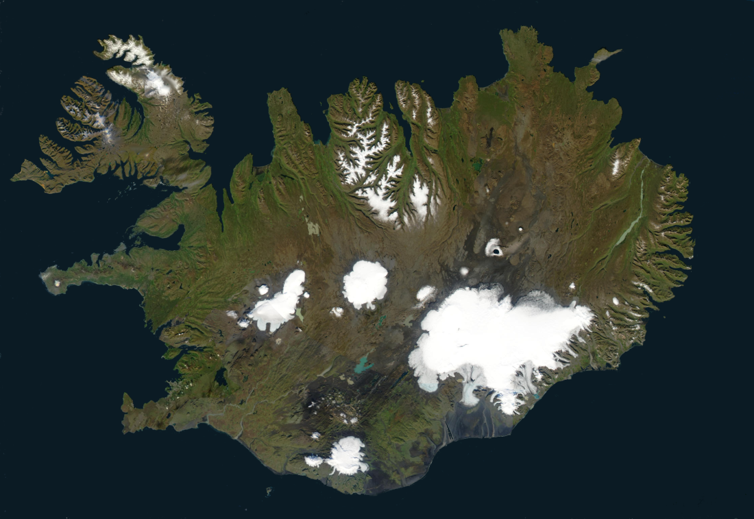
| Description | This image created by superimposing several satellite images using The Gimp and hand-editing the result using paintbucket, brush and smudge to make the ocean monochrome and remove most clouds. |
| Date | 13 July 2006 (original upload date) |
| Source | No machine-readable source provided. Own work assumed (based on copyright claims). |
| Author | No machine-readable author provided. Akigka assumed (based on copyright claims). |
Summary[edit]
From World Wind
| This file is in the public domain in the United States because it was solely created by NASA. NASA copyright policy states that "NASA material is not protected by copyright unless noted". (See Template:PD-USGov, NASA copyright policy page or JPL Image Use Policy.) | ||
 |
Warnings:
|
Licensing[edit]
I, the copyright holder of this work, hereby publish it under the following licenses:

|
Permission is granted to copy, distribute and/or modify this document under the terms of the GNU Free Documentation License, Version 1.2 or any later version published by the Free Software Foundation; with no Invariant Sections, no Front-Cover Texts, and no Back-Cover Texts. A copy of the license is included in the section entitled GNU Free Documentation License. |
| This file is licensed under the Creative Commons Attribution-Share Alike 3.0 Unported license. | ||
| ||
| This licensing tag was added to this file as part of the GFDL licensing update. |
This file is licensed under the Creative Commons Attribution 2.5 Generic license.
- You are free:
- to share – to copy, distribute and transmit the work
- to remix – to adapt the work
- Under the following conditions:
- attribution – You must give appropriate credit, provide a link to the license, and indicate if changes were made. You may do so in any reasonable manner, but not in any way that suggests the licensor endorses you or your use.
You may select the license of your choice.
| Annotations | This image is annotated: View the annotations at Commons |
File history
Click on a date/time to view the file as it appeared at that time.
| Date/Time | Thumbnail | Dimensions | User | Comment | |
|---|---|---|---|---|---|
| current | 13:48, 13 July 2006 | | 1,100 × 757 (820 KB) | Akigka (talk | contribs) | This image created by superimposing several satellite images using [http://www.gimp.org The Gimp] and hand-editing the result using paintbucket, brush and smudge to make the ocean monochrome and remove most clouds. == Summary == From World Wind {{PD-USGo |
You cannot overwrite this file.
File usage on Commons
The following 7 pages use this file:
File usage on other wikis
The following other wikis use this file:
- Usage on azb.wikipedia.org
- Usage on bo.wikipedia.org
- Usage on ca.wikipedia.org
- Usage on da.wikipedia.org
- Usage on de.wikipedia.org
- Usage on dz.wikipedia.org
- Usage on en.wikipedia.org
- Usage on en.wiktionary.org
- Usage on eo.wikipedia.org
- Usage on es.wikipedia.org
- Usage on et.wikipedia.org
- Usage on ext.wikipedia.org
- Usage on fa.wikipedia.org
- Usage on fi.wikipedia.org
- Usage on fo.wikipedia.org
- Usage on fr.wikipedia.org
- Usage on fy.wiktionary.org
- Usage on gd.wikipedia.org
- Usage on he.wiktionary.org
- Usage on hr.wiktionary.org
View more global usage of this file.
Categories:
- Satellite pictures of Iceland
- 2006 in Iceland
- Satellite pictures of glaciers
- Satellite pictures of Hofsjökull
- Satellite pictures of Langjökull
- Satellite pictures of Vatnajökull
- Satellite pictures of Mýrdalsjökull
- Satellite pictures of Eyjafjallajökull
- Satellite pictures of Snæfellsjökull
- Satellite pictures of Drangajökull
- Glaciers of Tröllaskagi
- Annotated images of Iceland
- Þrándarjökull