File:P03-DR-positiekaart2-gemlabels.png
Jump to navigation
Jump to search
Size of this preview: 596 × 600 pixels. Other resolutions: 239 × 240 pixels | 477 × 480 pixels | 1,000 × 1,006 pixels.
Original file (1,000 × 1,006 pixels, file size: 1.62 MB, MIME type: image/png)
Captions
Captions
Add a one-line explanation of what this file represents
Summary[edit]
| Description |
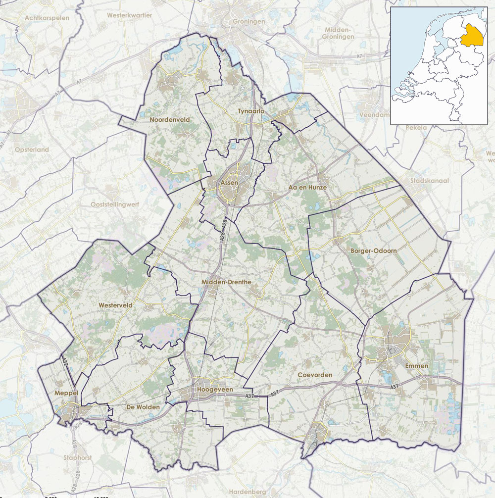
Nederlands: Positiekaartje van de provincie, variant "gemeentelabels" |
| Date | |
| Source | Own work |
| Author | Janwillemvanaalst |
Licensing[edit]
I, the copyright holder of this work, hereby publish it under the following license:
This file is licensed under the Creative Commons Attribution-Share Alike 4.0 International license.
- You are free:
- to share – to copy, distribute and transmit the work
- to remix – to adapt the work
- Under the following conditions:
- attribution – You must give appropriate credit, provide a link to the license, and indicate if changes were made. You may do so in any reasonable manner, but not in any way that suggests the licensor endorses you or your use.
- share alike – If you remix, transform, or build upon the material, you must distribute your contributions under the same or compatible license as the original.
File history
Click on a date/time to view the file as it appeared at that time.
| Date/Time | Thumbnail | Dimensions | User | Comment | |
|---|---|---|---|---|---|
| current | 09:00, 21 March 2022 | | 1,000 × 1,006 (1.62 MB) | Janwillemvanaalst (talk | contribs) | Corrected extent for template positiekaart |
| 09:34, 10 March 2022 |  | 1,066 × 1,103 (805 KB) | Hans Erren (talk | contribs) | Reverted to version as of 16:49, 1 January 2017 (UTC) | |
| 07:43, 10 March 2022 |  | 1,097 × 1,135 (1.2 MB) | Hans Erren (talk | contribs) | RDkaart geroteerd naar ware noorden | |
| 16:49, 1 January 2017 |  | 1,066 × 1,103 (805 KB) | Janwillemvanaalst (talk | contribs) | Map layers update as of 2017 | |
| 11:16, 17 January 2016 |  | 1,066 × 1,103 (829 KB) | Janwillemvanaalst (talk | contribs) | Added NL index frame | |
| 20:06, 11 January 2016 |  | 1,066 × 1,103 (834 KB) | Janwillemvanaalst (talk | contribs) | Final version, with municipal labels and slightly dimmed forest | |
| 18:30, 9 January 2016 |  | 1,063 × 1,088 (772 KB) | Janwillemvanaalst (talk | contribs) | User created page with UploadWizard |
You cannot overwrite this file.
File usage on Commons
There are no pages that use this file.
File usage on other wikis
The following other wikis use this file:
- Usage on ar.wikipedia.org
- Usage on arz.wikipedia.org
- Usage on da.wikipedia.org
- Usage on en.wikipedia.org
- Usage on es.wikipedia.org
- Usage on fy.wikipedia.org
- Assen
- Coevorden
- Hoogeveen
- Meppel
- Súdlaren
- Ubbena
- Drouwen
- Ter Aard
- Hoantsjedún
- Klazienaveen
- Nij-Amsterdam (Drinte)
- Eelde
- Vries
- Nijeveen
- Nieuwlande
- Sint-Willibrordustsjerke (Coevorden)
- Veenoord (Drinte)
- Berjocht:Posysjekaart Drinte
- Emmen
- Emmerdennen
- Barger-Oosterveld
- Noordbarge
- Westenesch
- Weerdinge
- Zuidbarge
- Stasjon Meppel
- Stasjon Hoogeveen
- Stasjon Vries-Súdlaren
- Stasjon Beilen
- Tynaarlo (doarp)
- Usage on nl.wikipedia.org
View more global usage of this file.