File:Iran Mazandaran adm location map (labelled).svg
Jump to navigation
Jump to search

Size of this PNG preview of this SVG file: 800 × 353 pixels. Other resolutions: 320 × 141 pixels | 640 × 282 pixels | 1,024 × 451 pixels | 1,280 × 564 pixels | 2,560 × 1,128 pixels | 1,123 × 495 pixels.
Original file (SVG file, nominally 1,123 × 495 pixels, file size: 219 KB)
Captions
Captions
Add a one-line explanation of what this file represents
Summary[edit]
| Description |
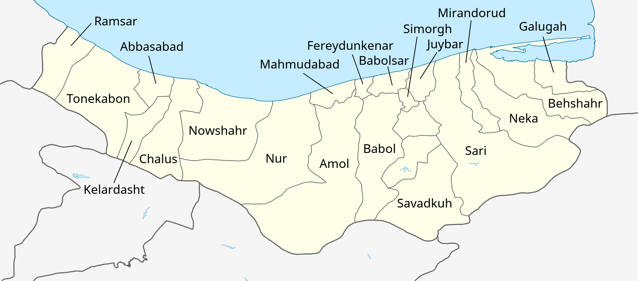
English: Labelled location map of Mazandaran Province, created in QGIS. |
| Date | |
| Source |
Own work using:
|
| Author | Isochrone |
| Other versions |
|

.svg&action=edit§ion=1)
Licensing[edit]
.svg&action=edit§ion=2)
This file is licensed under the Creative Commons Attribution-Share Alike 4.0 International license.
- You are free:
- to share – to copy, distribute and transmit the work
- to remix – to adapt the work
- Under the following conditions:
- attribution – You must give appropriate credit, provide a link to the license, and indicate if changes were made. You may do so in any reasonable manner, but not in any way that suggests the licensor endorses you or your use.
- share alike – If you remix, transform, or build upon the material, you must distribute your contributions under the same or compatible license as the original.
| This work contains information from OpenStreetMap, which is made available under the Open Database License (ODbL).
The ODbL does not require any particular license for maps produced from ODbL data. Prior to 1 August 2020, map tiles produced by the OpenStreetMap Foundation were licensed under the CC-BY-SA-2.0 license. Maps produced by other people may be subject to other licences. |
File history
Click on a date/time to view the file as it appeared at that time.
| Date/Time | Thumbnail | Dimensions | User | Comment | |
|---|---|---|---|---|---|
| current | 10:56, 28 August 2022 | | 1,123 × 495 (219 KB) | Isochrone (talk | contribs) | typo |
| 22:23, 27 August 2022 |  | 1,123 × 495 (228 KB) | Isochrone (talk | contribs) | fix sari and format code | |
| 22:21, 27 August 2022 |  | 1,123 × 495 (216 KB) | Isochrone (talk | contribs) | File uploaded using svgtranslate tool (https://svgtranslate.toolforge.org/). Added translation for fa. | |
| 22:12, 27 August 2022 |  | 1,123 × 495 (196 KB) | Isochrone (talk | contribs) | =={{int:filedesc}}== {{Information |description={{en|1=Labelled location map of Mazandaran Province, created in QGIS.}} |date=2022-08-27 |source={{own using}} * https://data.humdata.org/dataset/cod-ab-irn * {{f|IranMazandaran-SVG.svg}} * Rivers and lakes from OpenStreetMap |author={{u|Berrely}} |permission= |other versions=<gallery>Iran Mazandaran adm location map.svg|Blank</gallery> }} =={{int:license-header}}== {{cc-by-sa-4.0}} {{ODbL OpenStreetMap}} [[Category:Maps of Mazandaran Province... |
You cannot overwrite this file.
File usage on Commons
The following page uses this file:
.svg&oldid=781477153)