File:India Maharashtra location map.svg
Jump to navigation
Jump to search

Size of this PNG preview of this SVG file: 800 × 585 pixels. Other resolutions: 320 × 234 pixels | 640 × 468 pixels | 1,024 × 748 pixels | 1,280 × 935 pixels | 2,560 × 1,871 pixels | 1,233 × 901 pixels.
Original file (SVG file, nominally 1,233 × 901 pixels, file size: 1.08 MB)
Captions
Captions
Add a one-line explanation of what this file represents
Summary[edit]
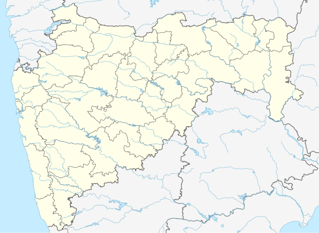
| Description |
Deutsch: Postionskarte von
Maharashtra
Quadratische Plattkarte. Geographische Begrenzung der Karte:
English: Location map of Maharashtra
Equirectangular projection. Geographic limits of the map:
|
||
| Date | |||
| Source | own work, using this file by Planemad | ||
| Author | Maximilian Dörrbecker (Chumwa) | ||
| Permission (Reusing this file) |
I, the copyright holder of this work, hereby publish it under the following licenses:
This file is licensed under the Creative Commons Attribution-Share Alike 3.0 Unported license.
You may select the license of your choice. |


|
This map has been made or improved in the German Kartenwerkstatt (Map Lab). You can propose maps to improve as well.
|
File history
Click on a date/time to view the file as it appeared at that time.
| Date/Time | Thumbnail | Dimensions | User | Comment | |
|---|---|---|---|---|---|
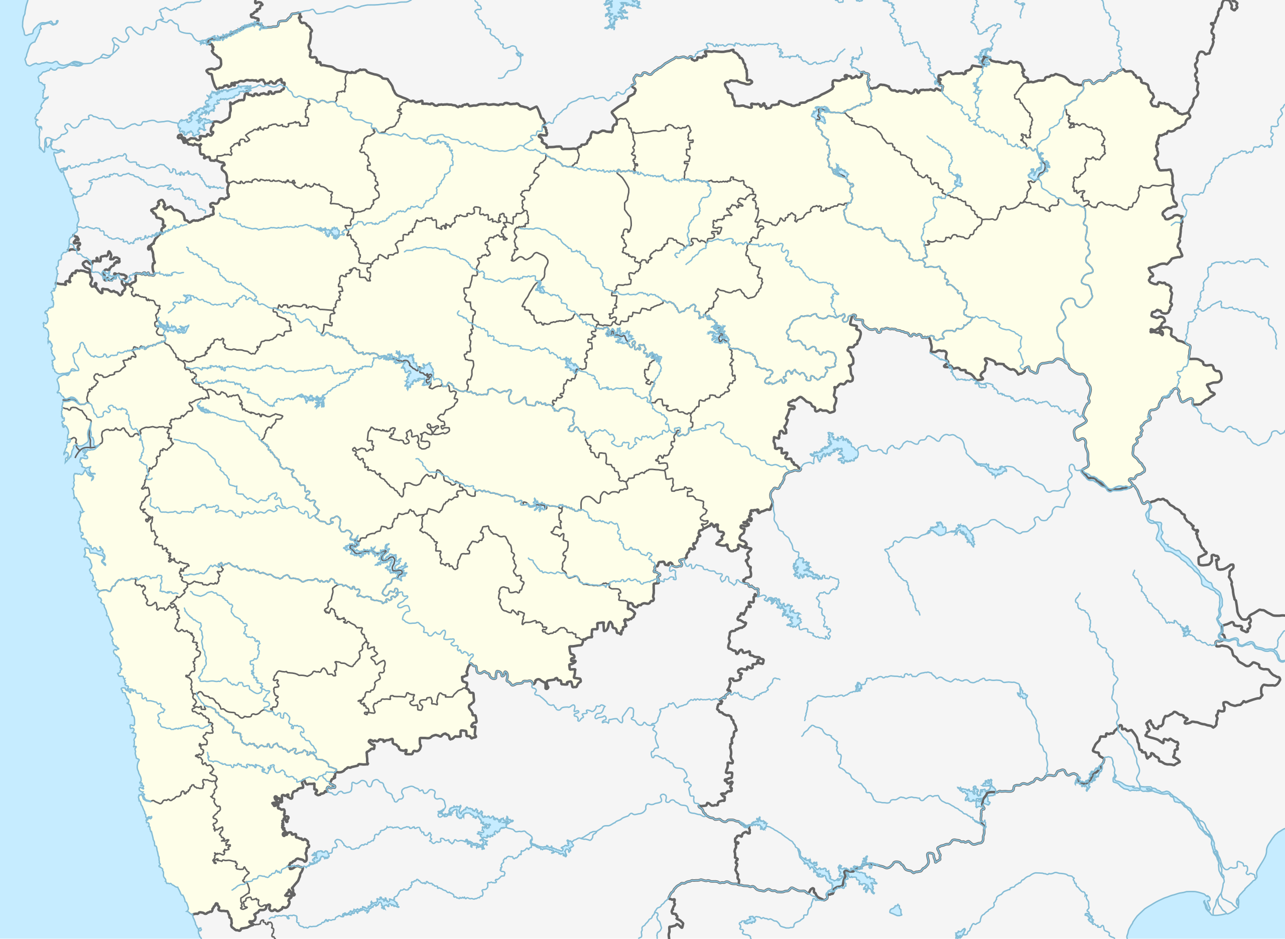
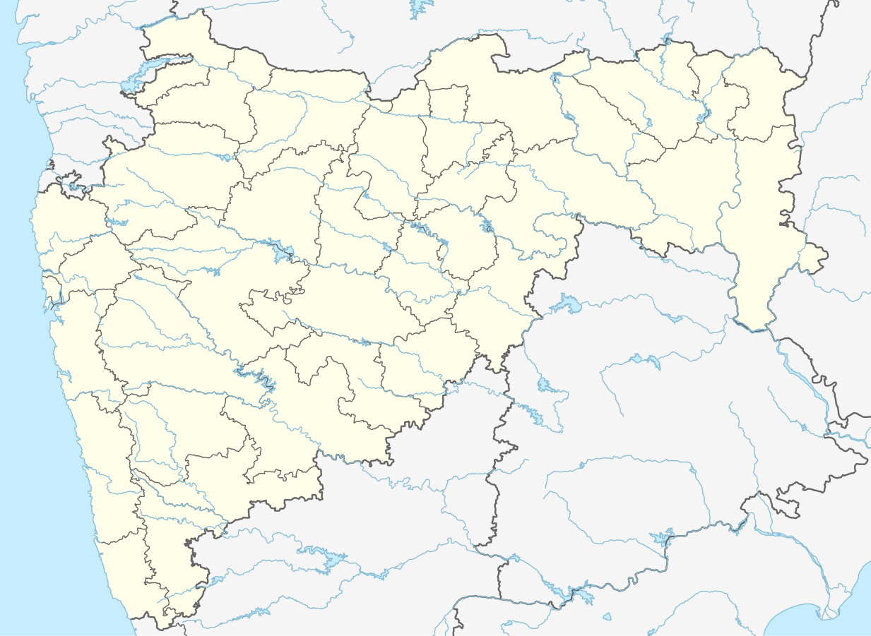
| current | 17:24, 4 July 2023 | | 1,233 × 901 (1.08 MB) | C1MM (talk | contribs) | Fixed Hingoli district |
| 04:50, 1 May 2022 |  | 1,146 × 838 (427 KB) | C1MM (talk | contribs) | c ahmednagar district | |
| 03:35, 2 June 2021 |  | 1,223 × 894 (523 KB) | C1MM (talk | contribs) | c rivers and borders | |
| 20:48, 28 June 2020 |  | 875 × 640 (730 KB) | C1MM (talk | contribs) | Fixed AP border | |
| 21:03, 1 May 2020 |  | 2,168 × 1,671 (627 KB) | C1MM (talk | contribs) | Divided AP, added rivers/coast | |
| 11:58, 28 July 2015 |  | 2,168 × 1,671 (347 KB) | NordNordWest (talk | contribs) | + Palghar district | |
| 06:19, 11 April 2010 |  | 2,168 × 1,671 (370 KB) | Chumwa (talk | contribs) | == {{int:filedesc}} == {{Information |Description= {{de|Postionskarte von Maharashtra}} Quadratische Plattkarte. Geographische Begrenzung der Karte: * N: 22°07'00" N (22.1167°N) * S: 15°33'00" N (15,5500°N) * W: 72°21'00" O (72.35 |
You cannot overwrite this file.
File usage on Commons
The following 51 pages use this file:
- Maharashtra
- User:Chumwa/Gallery
- Commons:Graphic Lab/Map workshop/Archive/2015
- File:India Maharashtra COVID-19 deaths.svg
- File:India Maharashtra COVID-19 map.svg
- Category:2019 in Maharashtra
- Category:Activists from Maharashtra
- Category:Airports in Maharashtra
- Category:Archaeological sites in Maharashtra
- Category:Births in Maharashtra
- Category:Bodies of water in Maharashtra
- Category:Bridges in Maharashtra
- Category:Buddhist temples in Maharashtra
- Category:Bus stations in Maharashtra
- Category:Caves of Maharashtra
- Category:Cities in Maharashtra
- Category:Deaths in Maharashtra
- Category:Education in Maharashtra
- Category:Festivals of Maharashtra
- Category:Flora of Maharashtra
- Category:Forts in Maharashtra
- Category:Gurudwaras in Maharashtra
- Category:Hill stations in Maharashtra
- Category:Hills of Maharashtra
- Category:Hindu temples in Maharashtra
- Category:Hospitals in Maharashtra
- Category:Jain temples in Maharashtra
- Category:Lakes of Maharashtra
- Category:Maharashtra
- Category:Maps of Maharashtra
- Category:Municipal corporations in Maharashtra
- Category:Newspapers of Maharashtra
- Category:Palaces in Maharashtra
- Category:People of Maharashtra
- Category:Populated places in Maharashtra
- Category:Postcards of Maharashtra
- Category:Power plants in Maharashtra
- Category:Rail transport in Maharashtra
- Category:Railway junction stations in Maharashtra
- Category:Railway stations in Maharashtra
- Category:Reservoirs in Maharashtra
- Category:Rivers of Maharashtra
- Category:Roads in Maharashtra
- Category:Shiva temples in Maharashtra
- Category:Sports in Maharashtra
- Category:Temples in Maharashtra
- Category:Views of Maharashtra
- Category:Villages in Maharashtra
- Category:Visitor attractions in Maharashtra
- Category:Waterfalls in Maharashtra
- Category:World Heritage Sites in Maharashtra
File usage on other wikis
The following other wikis use this file:
- Usage on anp.wikipedia.org
- Usage on ar.wikipedia.org
- Usage on as.wikipedia.org
- Usage on azb.wikipedia.org
- بمبئی
- پیمپری-چینچواد
- الور، عثمانآباد
- اودان (هیندوستان)
- ساتونا
- ساستور
- سارد (هیندوستان)
- سارداروادی
- سارانقخدا
- سارالا, آهمدناقار
- سارال, رایقاره
- ماوادی کادپاتار
- سانقوی
- کالجاواد
- کالی(دک)
- ماسور (هیندوستان)
- کالاس, پارنر
- ساناسوادی
- کالامسار موهیدا
- کالامبیست
- کالامب, یاواتمال
- کاکانوادا
- ولاس, ماهاراشترا
- ساکوری
- ساکول (هیندوستان)
- ساخاروادی
- واشی, سانقلی
- واشی, رایقاد
- مانوات رواد
- سایتاود
- کاقاشت
- مانوری
- کادوس (هیندوستان)
- مانکشوار
- مانجرود
- پادالی (هیندوستان)
View more global usage of this file.