File:Map of Maryland highlighting Baltimore City.svg
Jump to navigation
Jump to search

Size of this PNG preview of this SVG file: 800 × 419 pixels. Other resolutions: 320 × 167 pixels | 640 × 335 pixels | 1,024 × 536 pixels | 1,280 × 670 pixels | 2,560 × 1,340 pixels | 3,858 × 2,019 pixels.
Original file (SVG file, nominally 3,858 × 2,019 pixels, file size: 139 KB)
Captions
Captions
Add a one-line explanation of what this file represents
Summary[edit]
| Description |
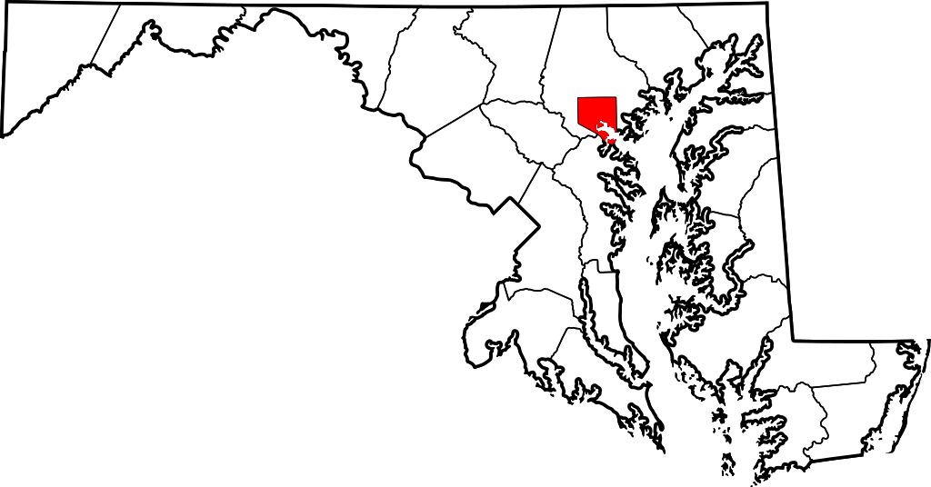
English: This is a locator map showing Baltimore in Maryland. For more information, see Commons:United States county locator maps. |
| Date | |
| Source |
Own work: English: The maps use data from nationalatlas.gov, specifically countyp020.tar.gz on the Raw Data Download page. The maps also use state outline data from statesp020.tar.gz. The Florida maps use hydrogm020.tar.gz to display Lake Okeechobee. |
| Author | David Benbennick |
Licensing[edit]
| I, the copyright holder of this work, release this work into the public domain. This applies worldwide. In some countries this may not be legally possible; if so: I grant anyone the right to use this work for any purpose, without any conditions, unless such conditions are required by law. |
File history
Click on a date/time to view the file as it appeared at that time.
| Date/Time | Thumbnail | Dimensions | User | Comment | |
|---|---|---|---|---|---|
| current | 17:56, 6 March 2010 | | 3,858 × 2,019 (139 KB) | Tom (talk | contribs) | Reverted to version as of 12:48, 12 February 2006 - inconsistent with other counties in state |
| 01:03, 10 August 2008 |  | 3,858 × 2,019 (226 KB) | AMK1211 (talk | contribs) | {{Information |Description= |Source= |Date= |Author= |Permission= |other_versions= }} | |
| 12:48, 12 February 2006 |  | 3,858 × 2,019 (139 KB) | David Benbennick (talk | contribs) | {{subst:User:Dbenbenn/clm|county=Baltimore City|state=Maryland|type=city}} |
You cannot overwrite this file.
File usage on Commons
The following 46 pages use this file:
- Baltimore, Maryland
- Wikimedia logo mosaic
- Wikimedia logo mosaic/A-Z gallery/L-M
- User:Ash Crow/test
- User:Bugboy52.4
- User:Cyc~commonswiki
- User:Lar/Mosaic2
- User:OhanaUnited/Wikispecies logo mosaic
- User:Prolineserver/mosaic
- User:Przykuta/Gender mosaic
- User:Twice25/Mosaic
- User talk:Symode09/Large
- Commons:STOP!!!! DO NOT DELETE THIS IMAGE TILL YOU REPLACE IT IN THE WIKIMEDIA LOGO MOSAIC
- File:MDMap-doton-Baltimore.PNG
- Category:2020 in Baltimore
- Category:Baltimore
- Category:Baltimore in the 1900s
- Category:Baltimore in the 1910s
- Category:Baltimore in the 1940s
- Category:Baltimore in the 1950s
- Category:Baltimore in the 1960s
- Category:Baltimore in the 1970s
- Category:Baltimore in the 1980s
- Category:Baltimore in the 1990s
- Category:Baltimore in the 2000s
- Category:Baltimore in the 2010s
- Category:Births in Baltimore
- Category:Buildings in Baltimore
- Category:Cemeteries in Baltimore
- Category:Deaths in Baltimore
- Category:Education in Baltimore
- Category:Historic districts in Baltimore, Maryland
- Category:Hotels in Baltimore
- Category:Museums in Baltimore
- Category:National Register of Historic Places in Baltimore, Maryland
- Category:Neighborhoods in Baltimore, Maryland
- Category:Paintings in Baltimore
- Category:Parks in Baltimore
- Category:Politicians of Baltimore
- Category:Politics of Baltimore
- Category:Roads in Baltimore
- Category:Schools in Baltimore
- Category:Sports venues in Baltimore
- Category:Streets in Baltimore
- Category:Tunnels in Baltimore
- Category:Universities and colleges in Baltimore
File usage on other wikis
The following other wikis use this file:
- Usage on ang.wikipedia.org
- Usage on ar.wikipedia.org
- Usage on arz.wikipedia.org
- Usage on ast.wikipedia.org
- Usage on bn.wikipedia.org
- Usage on br.wikipedia.org
- Usage on ca.wikipedia.org
- Usage on cy.wikipedia.org
- Usage on de.wikipedia.org
- Usage on diq.wikipedia.org
- Usage on el.wikipedia.org
- Usage on en.wikipedia.org
- Usage on eo.wikipedia.org
- Usage on es.wikipedia.org
- Usage on et.wikipedia.org
- Usage on eu.wikipedia.org
- Usage on fa.wikipedia.org
- Usage on fi.wikipedia.org
- Usage on fo.wikipedia.org
- Usage on fr.wikipedia.org
- Usage on ga.wikipedia.org
- Usage on gl.wikipedia.org
- Usage on he.wikipedia.org
- Usage on hu.wikipedia.org
- Usage on hy.wikipedia.org
- Usage on id.wikipedia.org
- Usage on ilo.wikipedia.org
- Usage on incubator.wikimedia.org
- Usage on io.wikipedia.org
- Usage on it.wikipedia.org
- Usage on ja.wikipedia.org
- Usage on kab.wikipedia.org
- Usage on kn.wikipedia.org
- Usage on ko.wikipedia.org
View more global usage of this file.