File:EE Saaremaa.PNG
Jump to navigation
Jump to search
No higher resolution available.
EE_Saaremaa.PNG (600 × 545 pixels, file size: 14 KB, MIME type: image/png)
Captions
Captions
Add a one-line explanation of what this file represents
| Description |
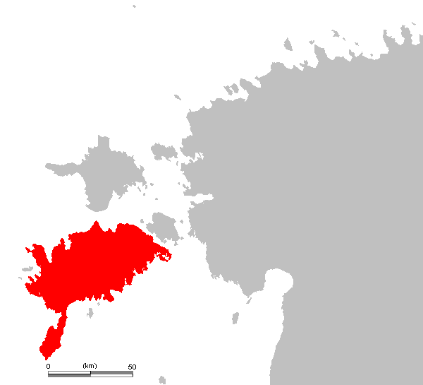
Eesti: Saarema.
English: Saaremaa on the Estonian map.
Čeština: Saaremaa na mapě Estonska.
Svenska: Ösel på estlandskartan.
Nederlands: Saaremaa eiland in Estland
Latina: Osilia.
Deutsch: Estnische Insel Ösel |
||||
| Source | own work based on PD map | ||||
| Author | edited by M.Minderhoud | ||||
| Permission (Reusing this file) |
|
||||
| Other versions |
|

File history
Click on a date/time to view the file as it appeared at that time.
| Date/Time | Thumbnail | Dimensions | User | Comment | |
|---|---|---|---|---|---|
| current | 19:35, 3 July 2006 | | 600 × 545 (14 KB) | Michiel1972 (talk | contribs) | |
| 19:19, 3 July 2006 |  | 909 × 682 (20 KB) | Michiel1972 (talk | contribs) | {{Information| |Description={{Information |Description= {{subst:PAGENAME}} (island in Estonia / eiland in Estland) |Source= own work based on PD map |Date= |Author= edited by M.Minderhoud |Permission= {{PD-Demis}} |other_v |
You cannot overwrite this file.
File usage on Commons
The following 2 pages use this file:
File usage on other wikis
The following other wikis use this file:
- Usage on bn.wikipedia.org
- Usage on en.wikipedia.org
- Usage on es.wikipedia.org
- Usage on et.wikipedia.org
- Usage on fiu-vro.wikipedia.org
- Usage on frr.wikipedia.org
- Usage on hu.wikipedia.org
- Usage on ko.wikipedia.org
- Usage on nn.wikipedia.org
- Usage on pl.wikivoyage.org
- Usage on stq.wikipedia.org
- Usage on uk.wikipedia.org