File:Russia Kaliningrad location map.svg
Jump to navigation
Jump to search

Size of this PNG preview of this SVG file: 800 × 500 pixels. Other resolutions: 320 × 200 pixels | 640 × 400 pixels | 1,024 × 640 pixels | 1,280 × 800 pixels | 2,560 × 1,599 pixels | 1,047 × 654 pixels.
Original file (SVG file, nominally 1,047 × 654 pixels, file size: 74 KB)
Captions
Captions
Add a one-line explanation of what this file represents
Summary[edit]
| Description |
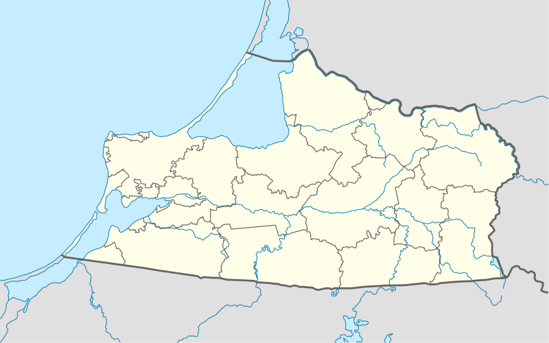
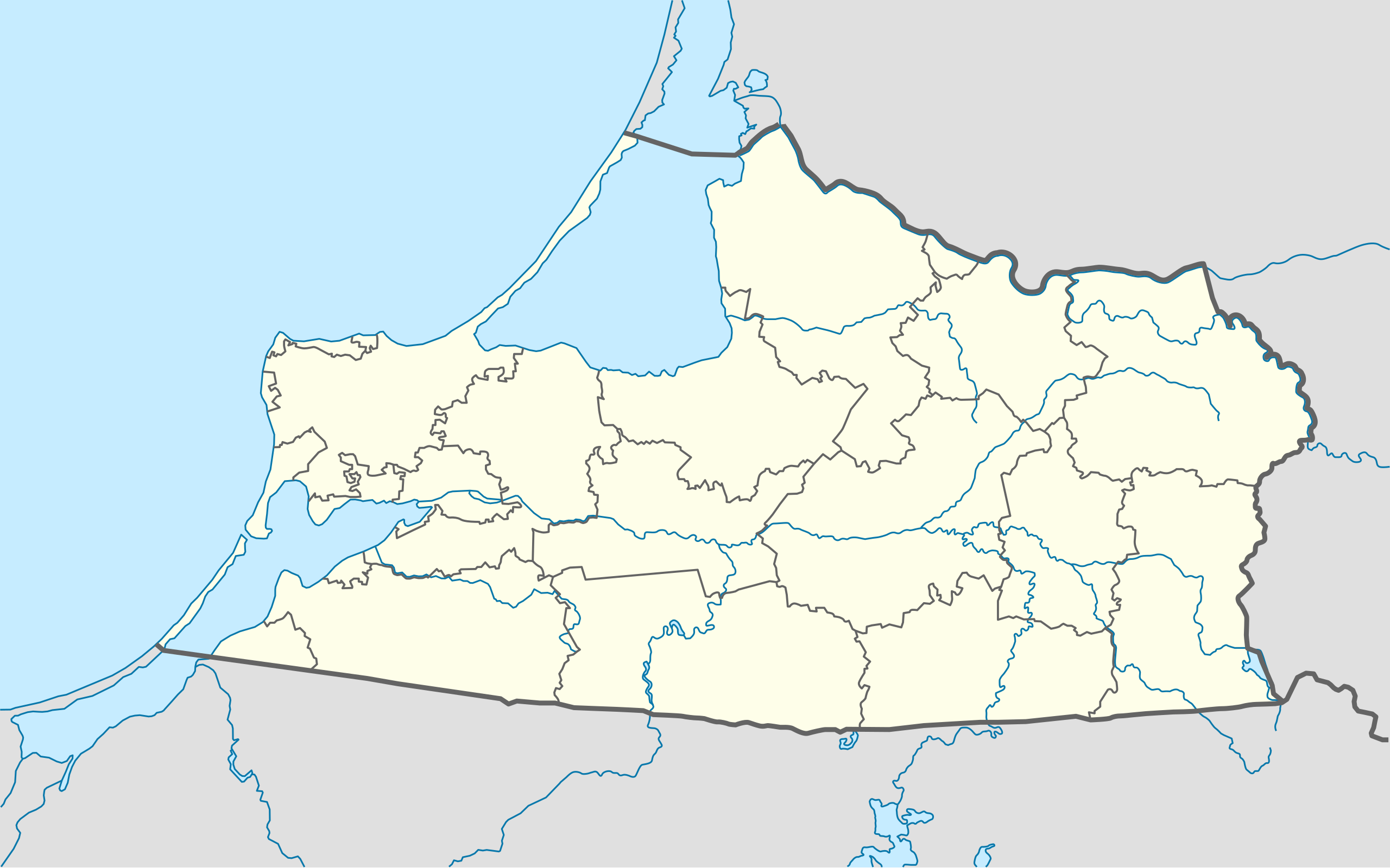
Quadratische Plattkarte, N-S-Streckung 174 %. Geographische Begrenzung der Karte:
Equirectangular projection, N/S stretching 174 %. Geographic limits of the map:
|
||
| Date | |||
| Source |
Own work, using
|
||
| Author | NordNordWest | ||
| Permission (Reusing this file) |
I, the copyright holder of this work, hereby publish it under the following license: This file is licensed under the Creative Commons Attribution-Share Alike 3.0 Unported license.
|
||
| Other versions |
Derivative works of this file: |
||
| SVG development | This W3C-invalid locator map was created with Adobe Illustrator by NordNordWest.
|

File history
Click on a date/time to view the file as it appeared at that time.
| Date/Time | Thumbnail | Dimensions | User | Comment | |
|---|---|---|---|---|---|
| current | 19:31, 24 January 2013 | | 1,047 × 654 (74 KB) | NordNordWest (talk | contribs) | upd |
| 18:49, 25 October 2009 |  | 1,047 × 654 (150 KB) | NordNordWest (talk | contribs) | {{int:filedesc}} {{Information |Description= {{de|Positionskarte der Oblast Kaliningrad, Russland}} Quadratische Plattkarte, N-S-Streckung 174 %. Geographische Begrenzung der Karte: * N: 55.5° N * S: 54.1° N * |
You cannot overwrite this file.
File usage on Commons
The following 8 pages use this file:
- User:NordNordWest/Gallery/Location maps
- File:Barcja na mapie adm. Polski i Rosji.svg
- File:Masurischer Kanal Verlauf 001.svg
- File:Prusy plemienne na mapie adm. Polski, Rosji i Litwy.svg
- File:Relief Map of Kaliningrad Oblast.png
- File:Warmia biskupia i plemienna na mapie adm. Polski i Rosji.svg
- File:Warmia biskupia na mapie adm. Polski.png
- File:Warmia plemienna na mapie adm. Polski i Rosji.svg
File usage on other wikis
The following other wikis use this file:
- Usage on af.wikipedia.org
- Usage on ar.wikipedia.org
- Usage on azb.wikipedia.org
- Usage on az.wikipedia.org
- Usage on be.wikipedia.org
- Калінінград
- Баграціёнаўск
- Азёрск (Калінінградская вобласць)
- Шаблон:На карце/Расія Калінінградская вобласць
- Светлагорск (Калінінградская вобласць)
- Савецк (Калінінградская вобласць)
- Гвардзейск
- Несцераў (Калінінградская вобласць)
- Піянерскі (горад)
- Гур’еўск (Калінінградская вобласць)
- Светлы (Калінінградская вобласць)
- Неман (горад)
- Мамонава (горад)
- Зеленаградск
- Красназнаменск (Калінінградская вобласць)
- Знаменск (Калінінградская вобласць)
- Палеск (горад)
- Ладушкін
- Рыбачы (Калінінградская вобласць)
- Янтарны (Калінінградская вобласць)
- Нівенскае
- Жалезнадарожны (Калінінградская вобласць)
- Usage on bg.wikipedia.org
- Usage on bn.wikipedia.org
- Usage on ceb.wikipedia.org
- Usage on ce.wikipedia.org
- Калининград
- Черемхово (Калининградан область)
- Моргуново (Гурьевскан гӀалин гуо)
- Дачни (Зеленоградскан кӀошт)
- Зеленцово (Правдинскан кӀошт)
- Озерск (Калининградан область)
- Исток (Славскан кӀошт)
- Новоуральск (Краснознаменскан кӀошт)
- Дубрава (Озёрскан кӀошт)
- Карповка (Озёрскан кӀошт)
- Грачевка (Зеленоградскан кӀошт)
- Григорьевка (Полесскан кӀошт)
- Лунино (Гвардейскан кӀошт)
View more global usage of this file.