File:South Africa Western Cape location map.svg
Jump to navigation
Jump to search

Size of this PNG preview of this SVG file: 749 × 600 pixels. Other resolutions: 300 × 240 pixels | 600 × 480 pixels | 959 × 768 pixels | 1,279 × 1,024 pixels | 2,558 × 2,048 pixels | 1,214 × 972 pixels.
Original file (SVG file, nominally 1,214 × 972 pixels, file size: 204 KB)
Captions
Captions
Add a one-line explanation of what this file represents
Summary[edit]
| Description |
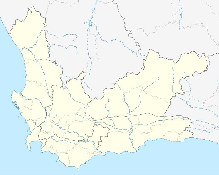
English: Location map of the Western Cape
Equirectangular projection, N/S stretching 118%. Geographic limits of the map:
|
| Date | |
| Source |
|
| Author | Htonl |
| Permission (Reusing this file) |
I, the copyright holder of this work, hereby publish it under the following license: This file is licensed under the Creative Commons Attribution-Share Alike 3.0 Unported license.
|
| Other versions | File:South Africa Western Cape relief location map.svg, File:Blank map of the Western Cape (2011).svg |
.svg)
File history
Click on a date/time to view the file as it appeared at that time.
| Date/Time | Thumbnail | Dimensions | User | Comment | |
|---|---|---|---|---|---|
| current | 19:40, 4 January 2013 | | 1,214 × 972 (204 KB) | Htonl (talk | contribs) | tweak |
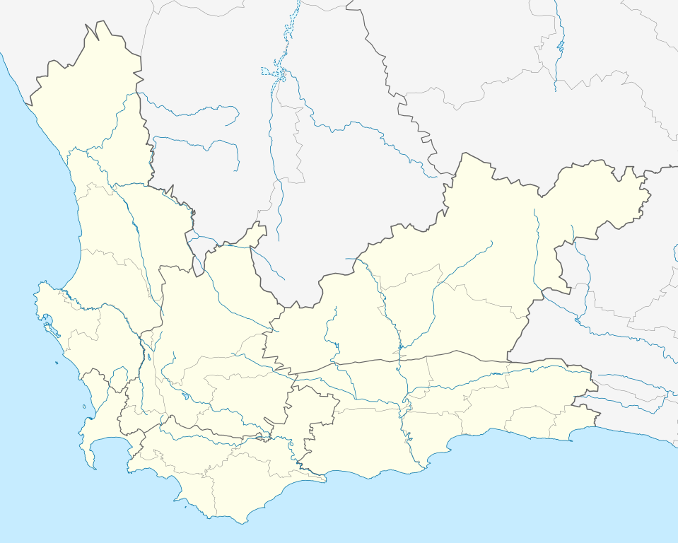
| 22:42, 3 January 2013 |  | 1,214 × 972 (237 KB) | Htonl (talk | contribs) | new version w/ vmap0-derived rivers | |
| 00:24, 13 December 2012 |  | 1,214 × 972 (202 KB) | Htonl (talk | contribs) | {{Information |Description ={{en|1=Location map of w:Western Cape, w:South Africa. Equirectangular projection. Geographic limits of the map: 17.5° to 24.5° E and 30.25° to 35° S.}} |Source =Own work, based on OpenStreetMap dat... |
You cannot overwrite this file.
File usage on Commons
The following 2 pages use this file:
File usage on other wikis
The following other wikis use this file:
- Usage on af.wikipedia.org
- Kaapstad
- Heidelberg, Wes-Kaap
- Sedgefield
- Knysna
- Stellenbosch
- Robbeneiland
- Beaufort-Wes
- Genadendal
- George
- Paarl
- Swellendam
- Tulbagh
- Touwsrivier
- Mamre
- Franschhoek
- Plettenbergbaai
- Gordonsbaai
- Wellington, Wes-Kaap
- Bellville
- Durbanville
- Mosselbaai
- Atlantis, Wes-Kaap
- Malmesbury, Wes-Kaap
- Paternoster
- Hopefield
- Vredenburg
- Saldanha
- Langebaan
- Velddrif
- Jacobsbaai
- Laingsburg
- Kleinmond
- Matjiesfontein
- Simonstad
- Grabouw
- Moorreesburg
- Robertson
- Houtbaai
- Oudtshoorn
- Bredasdorp
- Distrik Ses
- Elim, Wes-Kaap
- Wupperthal
- Darling, Wes-Kaap
- Suurbraak
- Barrydale
- Napier
- Dysselsdorp
- Zoar, Wes-Kaap
- Piketberg
View more global usage of this file.