File:Sochi adler aerial view 2018 23.jpg
Original file (4,063 × 2,283 pixels, file size: 5.99 MB, MIME type: image/jpeg)
Captions
Captions
Summary[edit]
| Description |
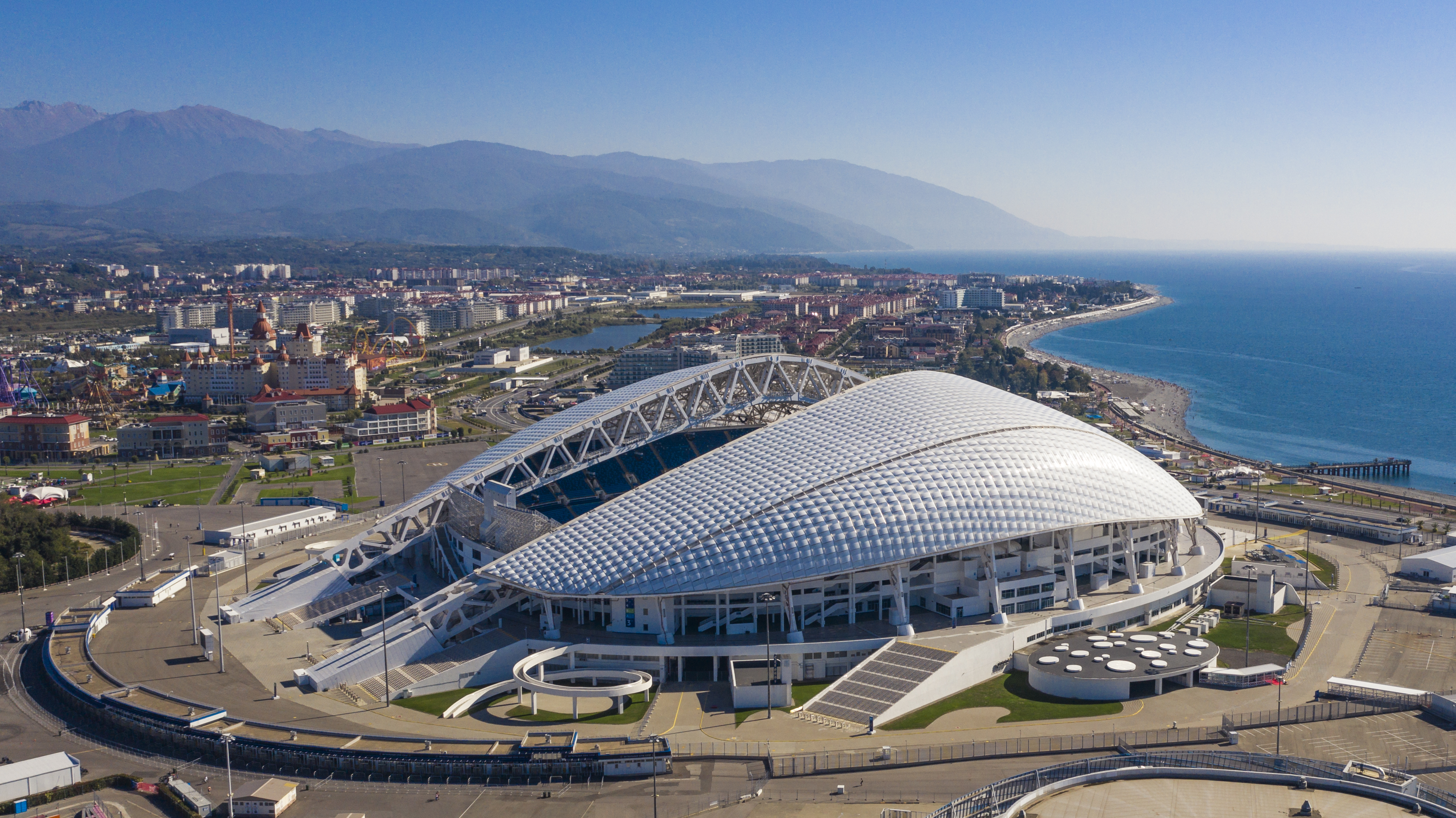
Deutsch: Blick auf den Olympiapark Adler (Sotschi) |
||
| Date | |||
| Source | Own work | ||
| Author | Arne Müseler | ||
| Permission (Reusing this file) |
I published this file as author under the Creative Commons License CC-by-SA-3.0.. This means that a ‘free use outside Wikimedia’s projects’ is only possible under the following conditions:
I would be very grateful if you could send me a specimen copy of the photo/map or the details of the website where the photo/map will be used. Basically, all my photos and maps can be licensed under the conditions of the Mittelstandsgemeinschaft Foto-Marketing (MFM). Please send an email to lizenz AT arne-mueseler.de if you
Arne Müseler / www.arne-mueseler.com, the copyright holder of this work, hereby publishes it under the following license: This file is licensed under the Creative Commons Attribution-Share Alike 3.0 Germany license. Attribution: Arne Müseler / www.arne-mueseler.com
 |
This image has been assessed using the Quality image guidelines and is considered a Quality image.
|
| Camera location | | View this and other nearby images on: OpenStreetMap |
|---|
Quality images on Wikimedia Commons - Photographs by Arne Müseler
File history
Click on a date/time to view the file as it appeared at that time.
| Date/Time | Thumbnail | Dimensions | User | Comment | |
|---|---|---|---|---|---|
| current | 16:23, 18 November 2019 | | 4,063 × 2,283 (5.99 MB) | Arne Müseler (talk | contribs) | User created page with UploadWizard |
You cannot overwrite this file.
File usage on Commons
The following 5 pages use this file:
File usage on other wikis
The following other wikis use this file:
- Usage on ar.wikipedia.org
- Usage on ast.wikipedia.org
- Usage on ban.wikipedia.org
- Usage on be-tarask.wikipedia.org
- Usage on bn.wikipedia.org
- Usage on ca.wikipedia.org
- Usage on cs.wikipedia.org
- Usage on de.wikipedia.org
- Usage on de.wikivoyage.org
- Usage on el.wikipedia.org
- Usage on en.wikipedia.org
- Sochi
- Architecture of Russia
- List of Asian stadiums by capacity
- Fisht Olympic Stadium
- 2018 FIFA World Cup
- 2017 FIFA Confederations Cup
- Sochi Olympic Park
- 2019–20 Russian Premier League
- User:Arne Müseler
- 2020–21 Russian Premier League
- 2021–22 Russian Premier League
- 2022–23 Russian Premier League
- 2023–24 Russian Premier League
- Usage on es.wikipedia.org
- Usage on eu.wikipedia.org
- Usage on fr.wikipedia.org
- Usage on ga.wikipedia.org
- Usage on he.wikipedia.org
- Usage on hu.wikipedia.org
- Usage on hy.wikipedia.org
View more global usage of this file.