File:Relief Map of Spain.png
Jump to navigation
Jump to search

Size of this preview: 699 × 600 pixels. Other resolutions: 280 × 240 pixels | 560 × 480 pixels | 895 × 768 pixels | 1,197 × 1,027 pixels.
Original file (1,197 × 1,027 pixels, file size: 1.9 MB, MIME type: image/png)
Captions
Captions
Add a one-line explanation of what this file represents
Summary[edit]
| Description |
Deutsch: Karte Spanien
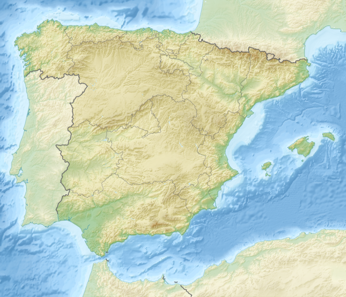
English: Map of Spain
Equirectangular projection, N/S stretching 130 %. Geographic limits of the map:
|
| Date | |
| Source |
|
| Author | derivative work Виктор_В |
Licensing[edit]
This file is licensed under the Creative Commons Attribution-Share Alike 3.0 Unported license.
- You are free:
- to share – to copy, distribute and transmit the work
- to remix – to adapt the work
- Under the following conditions:
- attribution – You must give appropriate credit, provide a link to the license, and indicate if changes were made. You may do so in any reasonable manner, but not in any way that suggests the licensor endorses you or your use.
- share alike – If you remix, transform, or build upon the material, you must distribute your contributions under the same or compatible license as the original.
File history
Click on a date/time to view the file as it appeared at that time.
| Date/Time | Thumbnail | Dimensions | User | Comment | |
|---|---|---|---|---|---|
| current | 17:55, 28 August 2010 | | 1,197 × 1,027 (1.9 MB) | Виктор В (talk | contribs) | рельеф дна |
| 11:58, 28 August 2010 |  | 1,197 × 1,027 (1.53 MB) | Виктор В (talk | contribs) | == {{int:filedesc}} == {{Information |Description={{en|Location map of Spain}} Equirectangular projection, N/S stretching 130 %. Geographic limits of the map: * N: 44.4° N * S: 34.7° N * W: 9.9° W * E: 4.8° E |Source=*[[:File:Spain locat |
You cannot overwrite this file.
File usage on Commons
The following 4 pages use this file:
File usage on other wikis
The following other wikis use this file:
- Usage on als.wikipedia.org
- Usage on ar.wikipedia.org
- Usage on arz.wikipedia.org
- Usage on as.wikipedia.org
- Usage on azb.wikipedia.org
- بارسلونا
- میرامبل
- کاسکانته دل ریو
- لسکس
- منرئال دل کامپو
- کامینرئال
- منتالبان
- ال کوئربو
- کانقاس
- منریو
- بردن
- بورباقنا
- کاستیته
- مونیسا
- پنیاریا د تاستابینس
- آندرا
- لاس پاراس د کاستیته
- بلمنته د سان خسه
- بسیته
- آقوابیبا
- آرینیو
- ماس د لاس ماتاس
- یدو
- کاستلسراس
- ماسالئن
- آلبالاته دل آرسبیسپو
- لا پوئبلا د هیخار
- مسکروئلا
- منتئاقودو دل کاستییو
- اریهوئلا دل ترمدال
- کانیادا د بناتاندوس
- نقرا د آلباراسین
- لینارس د مرا
- کامارنا د لا سیرا
- وقویلس دو لا سیرا
- مسکیتا د خارکه
- لا ایقلسوئلا دل سید
- میرابته د لا سیرا
View more global usage of this file.