File:Northern England location map.PNG
Jump to navigation
Jump to search
Size of this preview: 630 × 600 pixels. Other resolutions: 252 × 240 pixels | 504 × 480 pixels | 807 × 768 pixels | 1,076 × 1,024 pixels | 1,413 × 1,345 pixels.
Original file (1,413 × 1,345 pixels, file size: 132 KB, MIME type: image/png)
Captions
Captions
Add a one-line explanation of what this file represents
| Description |
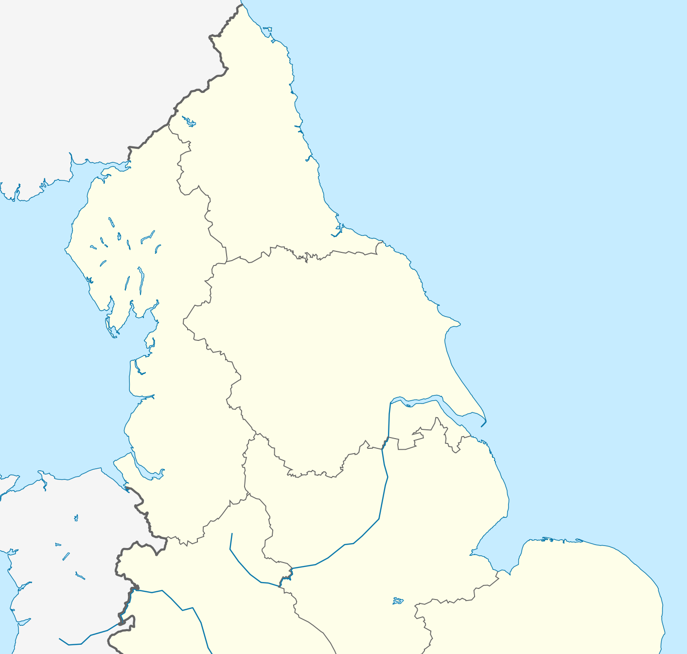
English: Location map of Northern England Equirectangular projection, N/S stretching 170 %. Geographic limits of the map: * N: 56.0° N * S: 52.33° N * W: 4.17° W * E: 2.0° E |
| Date | (UTC) |
| Source | |
| Author |
|
| This is a retouched picture, which means that it has been digitally altered from its original version. Modifications: Zoomed into Northern England. The original can be viewed here: England location map.svg:
|
I, the copyright holder of this work, hereby publish it under the following license:
This file is licensed under the Creative Commons Attribution-Share Alike 3.0 Unported license.
- You are free:
- to share – to copy, distribute and transmit the work
- to remix – to adapt the work
- Under the following conditions:
- attribution – You must give appropriate credit, provide a link to the license, and indicate if changes were made. You may do so in any reasonable manner, but not in any way that suggests the licensor endorses you or your use.
- share alike – If you remix, transform, or build upon the material, you must distribute your contributions under the same or compatible license as the original.
Original upload log[edit]
This image is a derivative work of the following images:
- File:England_location_map.svg licensed with Cc-by-sa-3.0
- 2010-03-12T22:58:19Z Spischot 816x991 (468569 Bytes) {{Information |Description= {{de|Positionskarte von [[:de:England|]]}} Quadratische Plattkarte, N-S-Streckung 170 %. Geographische Begrenzung der Karte: * N: 56.0° N * S: 49.75° N * W: 6.75° W * O: 2.0° O {{en|Location
Uploaded with derivativeFX
File history
Click on a date/time to view the file as it appeared at that time.
| Date/Time | Thumbnail | Dimensions | User | Comment | |
|---|---|---|---|---|---|
| current | 00:17, 18 April 2014 | | 1,413 × 1,345 (132 KB) | Mahahahaneapneap (talk | contribs) | Higher resolution and no JPEG artifacts. |
| 14:20, 17 February 2011 |  | 580 × 551 (142 KB) | Delusion23 (talk | contribs) | {{Information |Description={{en|Location map of Northern England}} Equirectangular projection, N/S stretching 170 %. Geographic limits of the map: * N: 56.0° N * S: 52.33° N * W: 4.17° W * E: 2.0° E |Source=*[[:File:England |
You cannot overwrite this file.
File usage on Commons
The following page uses this file:
File usage on other wikis
The following other wikis use this file:
- Usage on ar.wikipedia.org
- Usage on azb.wikipedia.org
- Usage on ba.wikipedia.org
- Usage on ceb.wikipedia.org
- Usage on da.wikipedia.org
- Usage on de.wikipedia.org
- Usage on el.wikipedia.org
- Usage on en.wikipedia.org
- Rugby league
- Limes (Roman Empire)
- William Cavendish, 1st Duke of Newcastle
- Yorkshire Wolds
- Battle of Flodden
- Pennine Way
- Northern Premier League
- Tyneside
- Northern Counties East Football League
- Northern England
- First English Civil War
- Wirral Peninsula
- FA Women's National League North
- Siege of Hull (1642)
- N8 Research Partnership
- 2013 Rugby League World Cup
- Siege of Carlisle (1644)
- Octagon Centre
- North 1 East
- British Universities American Football League
- 2007–08 Northern Premier League
- 1968–69 Northern Premier League
- 1969–70 Northern Premier League
- 1970–71 Northern Premier League
- 1971–72 Northern Premier League
- 1972–73 Northern Premier League
- 1973–74 Northern Premier League
- 1974–75 Northern Premier League
- 1975–76 Northern Premier League
- 1976–77 Northern Premier League
- 1977–78 Northern Premier League
- 1978–79 Northern Premier League
- 1979–80 Northern Premier League
- 1980–81 Northern Premier League
- 1981–82 Northern Premier League
- 1982–83 Northern Premier League
- 2008–09 Northern Premier League
- North Premier
- 2006–07 Northern Premier League
- 2009–10 Northern Premier League
- National League 2 North
- Battle of Selby
View more global usage of this file.