File:Location map of Mercer County, New Jersey.svg
Jump to navigation
Jump to search

Size of this PNG preview of this SVG file: 700 × 600 pixels. Other resolutions: 280 × 240 pixels | 560 × 480 pixels | 896 × 768 pixels | 1,195 × 1,024 pixels | 2,389 × 2,048 pixels.
Original file (SVG file, nominally 896 × 768 pixels, file size: 429 KB)
Captions
Captions
Add a one-line explanation of what this file represents
Summary[edit]
| Description |
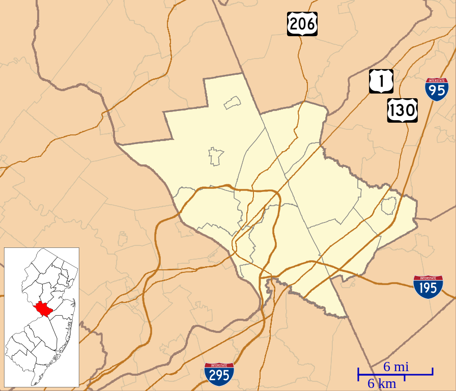
English: This is a map of Mercer County, New Jersey, USA which includes incorporated settlements, township borders, and major highways. |
| Date | |
| Source | My own work, using custom-written MapScript applications with United States Census Bureau data |
| Author | Omnedon |
Licensing[edit]
| I, the copyright holder of this work, release this work into the public domain. This applies worldwide. In some countries this may not be legally possible; if so: I grant anyone the right to use this work for any purpose, without any conditions, unless such conditions are required by law. |
File history
Click on a date/time to view the file as it appeared at that time.
| Date/Time | Thumbnail | Dimensions | User | Comment | |
|---|---|---|---|---|---|
| current | 10:50, 29 November 2022 | | 896 × 768 (429 KB) | X5163x (talk | contribs) | Updated map to reflect the merger of Princeton Township and Borough in 2012 |
| 04:56, 29 September 2012 |  | 896 × 768 (430 KB) | Omnedon (talk | contribs) | == {{int:filedesc}} == {{Information |Description={{en|This is a map of Mercer County, New Jersey, USA which includes incorporated settlements, township borders, and major highways.}} |Source=My own work, using custom-w... |
You cannot overwrite this file.
File usage on Commons
There are no pages that use this file.
File usage on other wikis
The following other wikis use this file:
- Usage on ar.wikipedia.org
- Usage on bn.wikipedia.org
- Usage on ceb.wikipedia.org
- Usage on en.wikipedia.org
- Trenton, New Jersey
- Princeton, New Jersey
- Lawrenceville, New Jersey
- East Windsor, New Jersey
- Ewing Township, New Jersey
- Hamilton Township, Mercer County, New Jersey
- Hightstown, New Jersey
- Hopewell, New Jersey
- Hopewell Township, Mercer County, New Jersey
- Lawrence Township, Mercer County, New Jersey
- Pennington, New Jersey
- Princeton Junction, New Jersey
- Twin Rivers, New Jersey
- Robbinsville Township, New Jersey
- West Windsor, New Jersey
- White Horse, New Jersey
- Campus Club
- Washington Crossing State Park
- Quadrangle Club
- Drumthwacket
- Colonial Club
- Princeton University Press
- Ivy Club
- Titusville, New Jersey
- Princeton Law School
- Tower Club
- Princeton Charter Club
- Nassau Hall
- Princeton station (NJ Transit)
- Tiger Inn
- Terrace Club
- Grovers Mill, New Jersey
- Kingston Bridge (Kingston, New Jersey)
- Herrontown Woods Arboretum
- Butler College
- Nassau Presbyterian Church
- Lake Carnegie (New Jersey)
- North Trenton, New Jersey
- Cap and Gown Club
- Morven (Princeton, New Jersey)
- Lamberton, New Jersey
- University Cottage Club
View more global usage of this file.