File:India Rajasthan location map.svg
Jump to navigation
Jump to search

Size of this PNG preview of this SVG file: 715 × 599 pixels. Other resolutions: 286 × 240 pixels | 573 × 480 pixels | 916 × 768 pixels | 1,222 × 1,024 pixels | 2,444 × 2,048 pixels | 1,093 × 916 pixels.
Original file (SVG file, nominally 1,093 × 916 pixels, file size: 511 KB)
Captions
Captions
BANDIKUI
Summary[edit]
| Description |
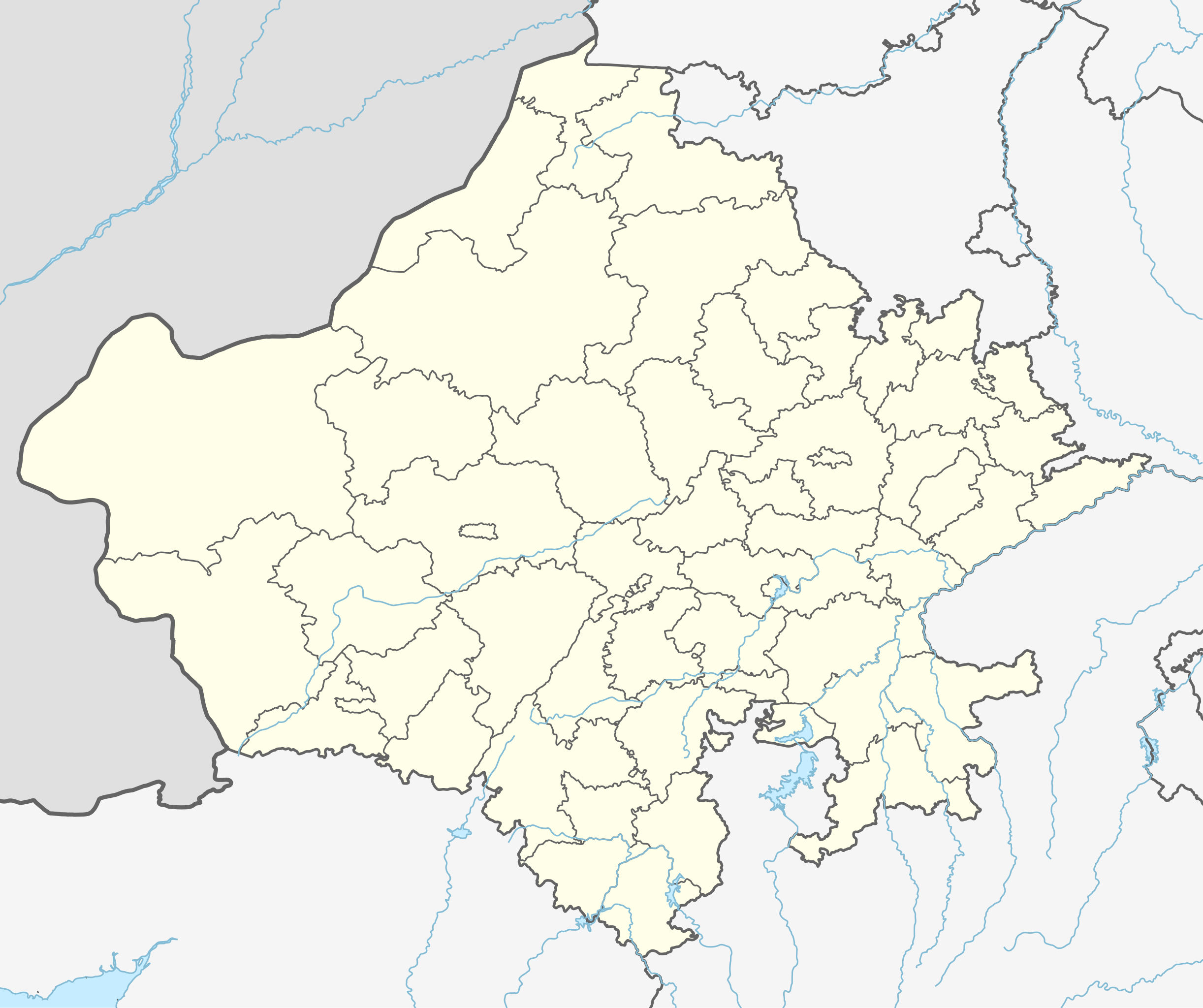
Location map of Rajasthan. Geographic limits of the map:
|
| Date | |
| Source | |
| Author |
|
Licensing[edit]
I, the copyright holder of this work, hereby publish it under the following license:
This file is licensed under the Creative Commons Attribution-Share Alike 3.0 Unported license.
- You are free:
- to share – to copy, distribute and transmit the work
- to remix – to adapt the work
- Under the following conditions:
- attribution – You must give appropriate credit, provide a link to the license, and indicate if changes were made. You may do so in any reasonable manner, but not in any way that suggests the licensor endorses you or your use.
- share alike – If you remix, transform, or build upon the material, you must distribute your contributions under the same or compatible license as the original.
File history
Click on a date/time to view the file as it appeared at that time.
| Date/Time | Thumbnail | Dimensions | User | Comment | |
|---|---|---|---|---|---|
| current | 18:07, 28 September 2023 | | 1,093 × 916 (511 KB) | C1MM (talk | contribs) | Added new districts |
| 02:22, 27 February 2023 |  | 1,051 × 880 (320 KB) | C1MM (talk | contribs) | fixed Churu district | |
| 05:36, 31 May 2021 |  | 1,059 × 887 (363 KB) | C1MM (talk | contribs) | Fixed Bundi dist | |
| 05:10, 31 May 2021 |  | 1,059 × 887 (364 KB) | C1MM (talk | contribs) | Corrected rivers and dist boundaries | |
| 05:03, 18 December 2020 |  | 770 × 645 (750 KB) | C1MM (talk | contribs) | Fixed rivers | |
| 17:41, 24 October 2020 |  | 770 × 645 (756 KB) | C1MM (talk | contribs) | Changed indus | |
| 02:53, 30 June 2020 |  | 770 × 645 (753 KB) | C1MM (talk | contribs) | Relayered | |
| 15:12, 27 April 2020 |  | 604 × 528 (202 KB) | C1MM (talk | contribs) | Added rivers | |
| 19:01, 5 July 2014 |  | 604 × 528 (127 KB) | Milenioscuro (talk | contribs) | User created page with UploadWizard |
You cannot overwrite this file.
File usage on Commons
The following 44 pages use this file:
- File:India Rajasthan COVID-19 deaths.svg
- File:India Rajasthan COVID-19 map.svg
- Category:Airports in Rajasthan
- Category:Archaeological sites in Rajasthan
- Category:Births in Rajasthan
- Category:Bridges in Rajasthan
- Category:Canals in Rajasthan
- Category:Dams in Rajasthan
- Category:Dancers from Rajasthan
- Category:Deaths in Rajasthan
- Category:Education in Rajasthan
- Category:Festivals of Rajasthan
- Category:Flora of Rajasthan
- Category:Forts in Rajasthan
- Category:Gardens in Rajasthan
- Category:Geography of Rajasthan
- Category:Hill stations in Rajasthan
- Category:Hills of Rajasthan
- Category:Hindu temples in Rajasthan
- Category:Hospitals in Rajasthan
- Category:Hotels in Rajasthan
- Category:Jain temples in Rajasthan
- Category:Lakes of Rajasthan
- Category:Maps of Rajasthan
- Category:Mountains of Rajasthan
- Category:Palaces in Rajasthan
- Category:People of Rajasthan
- Category:Populated places in Rajasthan
- Category:Postcards of Rajasthan
- Category:Rail transport in Rajasthan
- Category:Railway junction stations in Rajasthan
- Category:Railway stations in Rajasthan
- Category:Rajasthan
- Category:Reservoirs in Rajasthan
- Category:Rivers of Rajasthan
- Category:Roads in Rajasthan
- Category:Shiva temples in Rajasthan
- Category:Stepwells in Rajasthan
- Category:Tehsils of Rajasthan
- Category:Temples in Rajasthan
- Category:Transport in Rajasthan
- Category:Visitor attractions in Rajasthan
- Category:Wildlife sanctuaries of Rajasthan
- Category:Wind farms in Rajasthan
File usage on other wikis
The following other wikis use this file:
- Usage on azb.wikipedia.org
- لانقهوالا دؤیوشو
- فولاد (هیندوستان)
- فاندا ویلیج
- ساتیون
- سارساندا
- سارساینا
- سارودا
- ساردارپورا
- سارادیت
- سانوالی
- سانوراد
- سانتو (هیندوستان)
- سانساری
- سانودا, کوتکاسیم
- سانخوالی
- سانخو, سیکار
- ماولاسار
- سانجو (هیندوستان)
- ماتورا
- کالیپاهاری
- ساندوا
- ساندرو
- کالاندری
- سامراو
- ساملییا
- ماروت, راجاستان
- سالولی, راجاستان
- سالاواس
- ولار, راجاستان
- ساهوا, راجاستان
- ساهووالا
- رامدورا
- مانقلونا
- روساوا (هیندوستان)
- رول ناقاور
- ماندوالا
- روهات (هیندوستان)
- رودو, ناقاور
- ماندور
- آهور (هیندوستان)
- ماندی, فاجی
- ماندهولی
- جونل (هیندوستان)
- جونایچا خورد
- جوجاوار
- آناندپور کالو
- جیلییا
- جارسار چهوتا
- سومسار
- ماناکساس
View more global usage of this file.