File:Reliefkarte Türkei.png
Jump to navigation
Jump to search

Size of this preview: 800 × 368 pixels. Other resolutions: 320 × 147 pixels | 640 × 294 pixels | 1,024 × 471 pixels | 1,280 × 588 pixels | 2,560 × 1,177 pixels | 4,887 × 2,246 pixels.
Original file (4,887 × 2,246 pixels, file size: 16.57 MB, MIME type: image/png)
Captions
Captions
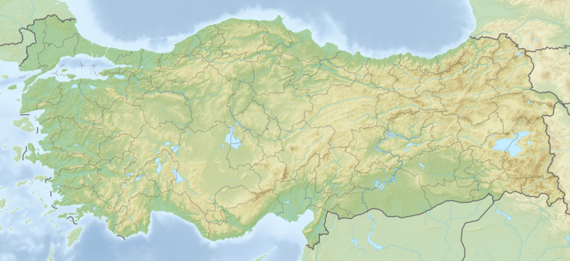
Turkey - Relief
Summary[edit]
| Description |
Deutsch: Reliefkarte Türkei. Topographischer Hintergrund: NASA Shuttle Radar Topography Mission (public domain). SRTM3 v.2.
|
||||||||||||
| Date | |||||||||||||
| Source | Own work | ||||||||||||
| Author | Tschubby | ||||||||||||
| Permission (Reusing this file) |
I, the copyright holder of this work, hereby publish it under the following licenses:
This file is licensed under the Creative Commons Attribution-Share Alike 2.5 Generic, 2.0 Generic and 1.0 Generic license.
You may select the license of your choice. |
||||||||||||

File history
Click on a date/time to view the file as it appeared at that time.
| Date/Time | Thumbnail | Dimensions | User | Comment | |
|---|---|---|---|---|---|
| current | 22:51, 30 December 2022 | | 4,887 × 2,246 (16.57 MB) | GrandEscogriffe (talk | contribs) | removing lake Amik, Hatay |
| 17:37, 4 November 2022 |  | 4,887 × 2,246 (16.57 MB) | GrandEscogriffe (talk | contribs) | fixing buggy vertical and horizontal lines in the western part | |
| 07:28, 23 May 2018 |  | 4,887 × 2,246 (15.03 MB) | Tschubby (talk | contribs) | {{Information |description= |source= |date= |author= |permission= |other versions= }} | |
| 07:17, 23 May 2018 |  | 5,000 × 2,570 (17.74 MB) | Tschubby (talk | contribs) | {{Information |description= |source= |date= |author= |permission= |other versions= }} | |
| 05:32, 12 May 2018 |  | 5,864 × 2,694 (21.47 MB) | Tschubby (talk | contribs) | {{Information |description= |source= |date= |author= |permission= |other versions= }} | |
| 05:26, 12 May 2018 |  | 5,864 × 2,694 (21.48 MB) | Tschubby (talk | contribs) | == {{int:filedesc}} == {{Information |Description= {{de| Reliefkarte Türkei}} Topographischer Hintergrund: [http://www2.jpl.nasa.gov/srtm NASA Shuttle Radar Topography Mission] (public domain). SRTM3 v.2. |Source={{own}} |Date= 2018-05-12 |Author= Tschubby |Permission= {{self|GFDL|Cc-by-sa-3.0-migrated|Cc-by-sa-2.5,2.0,1.0}} |other_versions= }} Category:Location maps of Turkey |
You cannot overwrite this file.
File usage on Commons
There are no pages that use this file.
File usage on other wikis
The following other wikis use this file:
- Usage on ar.wikipedia.org
- Usage on arz.wikipedia.org
- بحيره كوڤادا جولو
- سد كايابوجازى
- سد جوكسيكايا
- سد افشار
- سد كيزلداملار
- سد ديربنت
- سد سيليفير
- سد كاراتشوماك
- سد سيتلر
- سد ميديك
- سد سيفيسلر
- سد دميركوبرو
- سد جولباشى
- سد حسنلار
- سد اتيخيسار
- سد محمدلى
- سد كيمير
- سد كارتالكايا
- سد بويوكورهان
- سد يابراكلى
- سد الاكير
- سد كابولوكايا
- سد منياس
- سد موراتلى
- سد يورتانلى
- سد كوزجون
- سد جقمك
- سد جوكتشى
- سد يايلاكافاك
- سد سفيريهصر
- سد جيك
- سد تركان
- سد باكاكاك
- سد بايلر
- سد ينيس
- سد اركميز
- سد كاراكورين 2
- سد جافدار حصار
- سد مادرا
- سد اكديرمين
- سد دميرطاش
- سد توبكام
- سد اكجديك
- سد دوجانجى 1
- سد جيلينجولو
- سد اسارتيبى
- سد بردان
- سد بيراميك
- سد اتاكوى
View more global usage of this file.