File:Reliefkarte Dänemark.png
Jump to navigation
Jump to search
Size of this preview: 716 × 600 pixels. Other resolutions: 287 × 240 pixels | 573 × 480 pixels | 917 × 768 pixels | 1,223 × 1,024 pixels | 2,538 × 2,126 pixels.
Original file (2,538 × 2,126 pixels, file size: 5.24 MB, MIME type: image/png)
Captions
Captions
Add a one-line explanation of what this file represents
Summary[edit]
| Description |
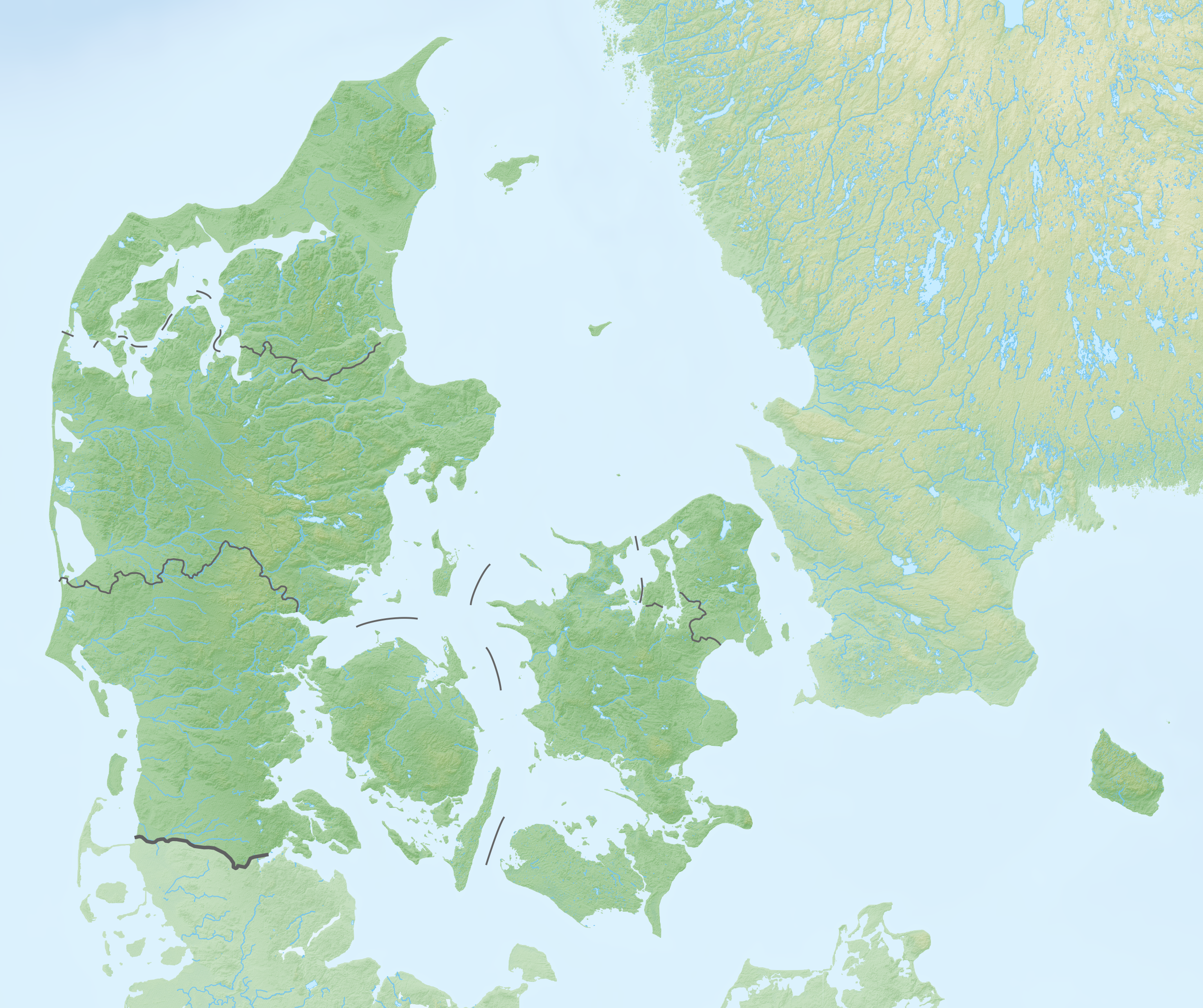
Deutsch: Reliefkarte Dänemark
Topographischer Hintergrund: NASA Shuttle Radar Topography Mission (public domain). SRTM3 v.2. |
||||||||
| Date | |||||||||
| Source | Own work | ||||||||
| Author | Tschubby | ||||||||
| Permission (Reusing this file) |
I, the copyright holder of this work, hereby publish it under the following licenses:
This file is licensed under the Creative Commons Attribution-Share Alike 2.5 Generic, 2.0 Generic and 1.0 Generic license.
You may select the license of your choice. |


|
File:Denmark physical map.svg is a vector version of this file. It should be used in place of this PNG file when not inferior.
File:Reliefkarte Dänemark.png → File:Denmark physical map.svg
For more information, see Help:SVG. |
 |
File history
Click on a date/time to view the file as it appeared at that time.
| Date/Time | Thumbnail | Dimensions | User | Comment | |
|---|---|---|---|---|---|
| current | 20:32, 5 April 2020 | | 2,538 × 2,126 (5.24 MB) | Tschubby (talk | contribs) | {{Information |description= |date= |source= |author= |permission= |other versions= }} |
| 08:54, 6 August 2019 |  | 2,540 × 2,128 (4.86 MB) | Tschubby (talk | contribs) | {{Information |description= |date= |source= |author= |permission= |other versions= }} | |
| 07:55, 20 May 2018 |  | 2,541 × 2,128 (4.86 MB) | Tschubby (talk | contribs) | {{Information |description= |source= |date= |author= |permission= |other versions= }} | |
| 12:58, 7 May 2018 |  | 2,541 × 2,128 (5.06 MB) | Tschubby (talk | contribs) | == {{int:filedesc}} == {{Information |Description= {{de| Reliefkarte Dänemark}} Topographischer Hintergrund: [http://www2.jpl.nasa.gov/srtm NASA Shuttle Radar Topography Mission] (public domain). SRTM3 v.2. |Source={{own}} |Date= 2018-05-07 |Author= Tschubby |Permission= {{self|GFDL|Cc-by-sa-3.0-migrated|Cc-by-sa-2.5,2.0,1.0}} |other_versions= }} Category:Location maps of Denmark |
You cannot overwrite this file.
File usage on Commons
There are no pages that use this file.
File usage on other wikis
The following other wikis use this file:
- Usage on de.wikipedia.org
- Kattegat
- Großer Belt
- Kleiner Belt
- Amager
- Limfjord
- Mandø
- Trelleborg (Slagelse)
- Saltholm
- Sejerø
- Endelave
- Hesselø
- Langli
- Hammershus
- Christiansø
- Sender Kalundborg
- Sender Søsterhøj
- Trøjborg
- Tunø
- Anholt (Insel)
- Aggersborg
- Fyrkat
- Nonnebakken
- Großer-Belt-Bahntunnel
- Vorlage:Positionskarte Dänemark
- Burg Spøttrup
- Mols (Dänemark)
- Kolindsund
- Nekselø
- Langelandsbelt
- Gedser Odde
- Kategorie:Rennstrecke in Dänemark
- Dankirke
- Dänische Luftstreitkräfte
- Wikipedia:Kartenwerkstatt/Positionskarten/Europa
- Vorlage:Positionskarte Dänemark Syddanmark
- Vorlage:Positionskarte Dänemark Midtjylland
- Vorlage:Positionskarte Dänemark Nordjylland
- Vorlage:Positionskarte Dänemark Sjælland
- Vorlage:Positionskarte Dänemark Hovedstaden
- Hjelm (Insel)
- Dänemark
- Gräberfeld von Himlingøje
- Ølshøj
- Sender Rangstrup
- Køge Bugt
- Sender Gladsaxe
- Søeborg-Sø
- Sender Fünen
- Borgring
- Hvalpsund (Sund)
View more global usage of this file.