File:Relief Map of Central Russia.png
Jump to navigation
Jump to search

Size of this preview: 570 × 599 pixels. Other resolutions: 228 × 240 pixels | 457 × 480 pixels | 684 × 719 pixels.
Original file (684 × 719 pixels, file size: 1.03 MB, MIME type: image/png)
Captions
Captions
Add a one-line explanation of what this file represents
Summary[edit]
| Description |
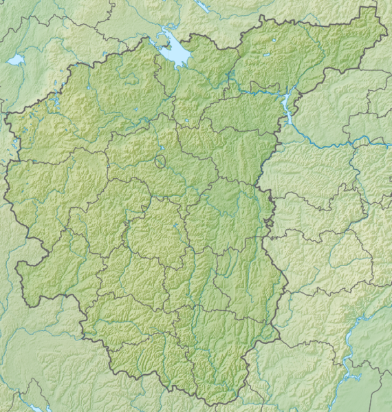
Русский: Россия, Центральный федеральный округ, физическая карта.
|
||||||||
| Date | |||||||||
| Source |
|
||||||||
| Author | Nzeemin | ||||||||
| Other versions |
[]
|


Licensing[edit]
I, the copyright holder of this work, hereby publish it under the following license:
This file is licensed under the Creative Commons Attribution-Share Alike 3.0 Unported license.
- You are free:
- to share – to copy, distribute and transmit the work
- to remix – to adapt the work
- Under the following conditions:
- attribution – You must give appropriate credit, provide a link to the license, and indicate if changes were made. You may do so in any reasonable manner, but not in any way that suggests the licensor endorses you or your use.
- share alike – If you remix, transform, or build upon the material, you must distribute your contributions under the same or compatible license as the original.
File history
Click on a date/time to view the file as it appeared at that time.
| Date/Time | Thumbnail | Dimensions | User | Comment | |
|---|---|---|---|---|---|
| current | 19:52, 8 March 2012 | | 684 × 719 (1.03 MB) | Nzeemin (talk | contribs) | plus the region border |
| 18:48, 23 February 2012 |  | 684 × 719 (1.03 MB) | Nzeemin (talk | contribs) |
You cannot overwrite this file.
File usage on Commons
The following 18 pages use this file:
- File:Outline Map of Central Russia.svg
- File:Outline Map of Far Eastern Federal District.svg
- File:Outline Map of North Caucasian Federal District.svg
- File:Outline Map of Northwestern Federal District.svg
- File:Outline Map of Southern Federal District.svg
- File:Outline Map of Volga Federal District.svg
- File:Outline map of Urals Federal District.svg
- File:Relief Map of Central Russia.png
- File:Relief Map of Far Eastern Federal District.jpg
- File:Relief Map of North Caucasian Federal District.jpg
- File:Relief Map of North Caucasian Federal District.svg
- File:Relief Map of Northwestern Federal District.jpg
- File:Relief Map of Southern Federal District.jpg
- File:Relief Map of Southern Federal District.svg
- File:Relief Map of Volga Federal District.jpg
- File:Relief map of Urals Federal District.jpg
- File:Relief map of Urals Federal District.svg
- Template:Other versions/Federal Districts of Russia
File usage on other wikis
The following other wikis use this file:
- Usage on be.wikipedia.org
- Usage on bg.wikipedia.org
- Usage on da.wikipedia.org
- Usage on de.wikipedia.org
- Usage on en.wikipedia.org
- Usage on et.wikipedia.org
- Usage on fr.wikipedia.org
- Usage on hr.wikipedia.org
- Usage on hu.wikipedia.org
- Usage on hu.wiktionary.org
- Usage on it.wikipedia.org
- Usage on ja.wikipedia.org
- Usage on ko.wikipedia.org
- Usage on nl.wikipedia.org
- Usage on os.wikipedia.org
- Usage on ru.wikipedia.org
View more global usage of this file.