File:Germany Saxony-Anhalt adm location map.svg

Original file (SVG file, nominally 919 × 1,130 pixels, file size: 508 KB)
Captions
Captions
Summary[edit]
| Description |
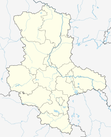
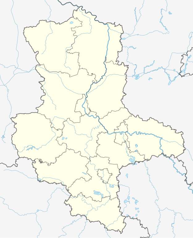
Deutsch: Positionskarte von Sachsen-Anhalt, Deutschland
English: Location map of Saxony-Anhalt, Germany
|
||||||||||||
| Date | |||||||||||||
| Source |
Own work using:
|
||||||||||||
| Author | NordNordWest | ||||||||||||
| Other versions |
|
||||||||||||


|
This map has been made or improved in the German Kartenwerkstatt (Map Lab). You can propose maps to improve as well.
|
Licensing[edit]
Usage of this file with:

explanatory notes: Legally binding is only the full legalcode. For a free usage I recommend to respect the following licence conditions:
1. Provide my name as given above: NordNordWest,
2. a copy of, or the URI for, the applicable license: https://creativecommons.org/licenses/by-sa/3.0/de/legalcode,
3. the title of the work,
4. in the case of an adaptation, a credit identifying the use of the work in the adaptation.
This license and the rights granted hereunder will terminate automatically upon any breach by you of the terms of this license. Any of the above conditions can be waived if you get permission from the copyright holder. If you have questions or wish differing conditions, please contact me through nnwest or my discussion page ![]() t-online.de
t-online.de
- You are free:
- to share – to copy, distribute and transmit the work
- to remix – to adapt the work
- Under the following conditions:
- attribution – You must give appropriate credit, provide a link to the license, and indicate if changes were made. You may do so in any reasonable manner, but not in any way that suggests the licensor endorses you or your use.
- share alike – If you remix, transform, or build upon the material, you must distribute your contributions under the same or compatible license as the original.

File history
Click on a date/time to view the file as it appeared at that time.
| Date/Time | Thumbnail | Dimensions | User | Comment | |
|---|---|---|---|---|---|
| current | 13:08, 28 January 2019 | | 919 × 1,130 (508 KB) | NordNordWest (talk | contribs) | corr |
| 12:16, 28 January 2019 |  | 919 × 1,130 (510 KB) | NordNordWest (talk | contribs) | == {{int:filedesc}} == {{Information |description= {{de|1=Positionskarte von Sachsen-Anhalt, Deutschland}} {{en|1=Location map of Saxony-Anhalt, Germany}} {{Location map series N |stretching=162 |top=53.1|bottom=50.9 |left=10.4 |right=13.3 }} |source={{Own using}} * [http://www.geodatenzentrum.de/geodaten/gdz_rahmen.gdz_div?gdz_spr=deu&gdz_akt_zeile=5&gdz_anz_zeile=1&gdz_unt_zeile=2&gdz_user_id=0 Digitales Landschaftsmodell 1:1.000.000]: © GeoBasis-DE / [http://www.bkg.bund.de BKG] 2018 (Date... |
You cannot overwrite this file.
File usage on Commons
The following 5 pages use this file:
File usage on other wikis
The following other wikis use this file:
- Usage on de.wikipedia.org
- Oebisfelde
- Marienborn
- Hessen (Osterwieck)
- Colbitz-Letzlinger Heide
- Riesdorf (Südliches Anhalt)
- Schrampe
- Stadt Derenburg
- Hohentramm
- Schleuse Rothensee
- Heimkehle
- Spielberg (Lanitz-Hassel-Tal)
- Stiege (Harz)
- Treseburg
- Abbenrode
- Atzendorf (Staßfurt)
- Micheln
- Kusey
- Bornum (Zerbst)
- Gehrden (Zerbst)
- Moritz (Zerbst)
- Grassau (Bismark)
- Stadt Radegast
- Neuendorf (Klötze)
- Schwiesau
- Seyda
- Beelitz (Arneburg)
- Altenzaun
- Behrendorf (Werben)
- Hindenburg (Hohenberg-Krusemark)
- Jarchau
- Sandauerholz
- Sanne (Hassel)
- Schwarzholz (Hohenberg-Krusemark)
- Storkau (Elbe)
- Stapelburg
- Hohendodeleben
- Zetzschdorf
- Schweinitz (Jessen)
- Heteborn
- Hausneindorf
- Apenburg
- Pumpspeicherwerk Wendefurth
- Uchtspringe
- Hermannshöhle (Harz)
- Klein Schwechten
- Seethen
- Langenstein (Halberstadt)
- Hakenstedt
View more global usage of this file.