File:France adm-2 location map.svg

Original file (SVG file, nominally 2,000 × 1,922 pixels, file size: 759 KB)
Captions
Captions
Summary[edit]
| Description |
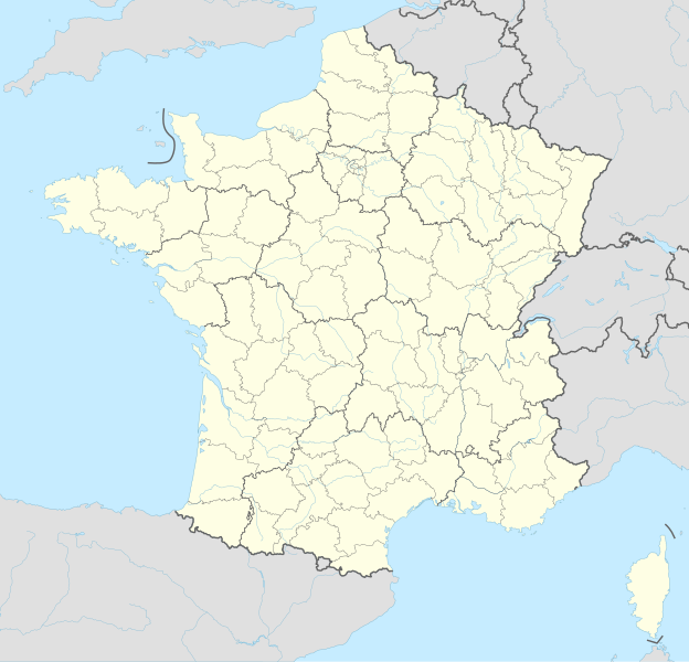
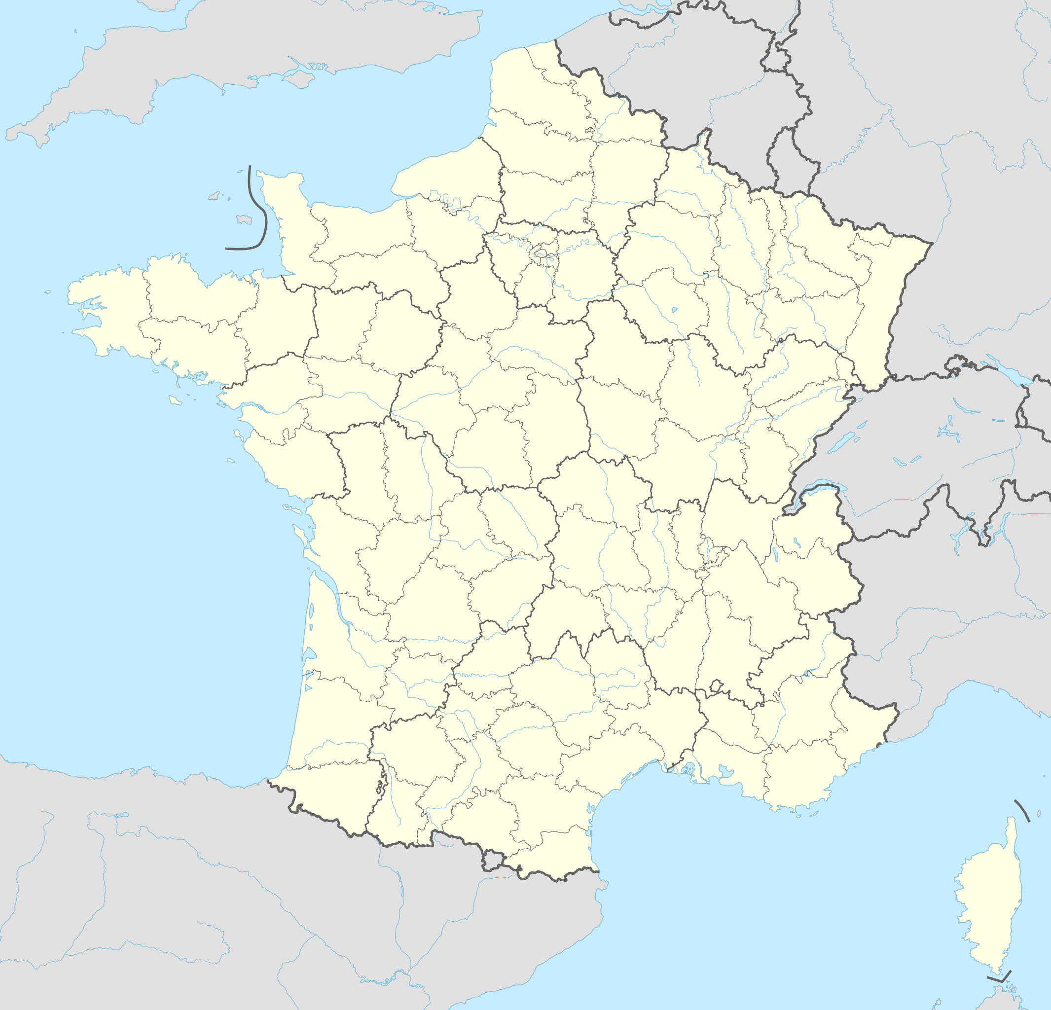
Deutsch: Positionskarte von Frankreich mit Regionen und Départements
English: Location map of France with regions and departements
|
||||||||||||
| Date | |||||||||||||
| Source |
Own work using:
|
||||||||||||
| Author | NordNordWest | ||||||||||||
| Other versions |
|
||||||||||||
| SVG development | This map was created with an unknown SVG tool.
|
||||||||||||


Licensing[edit]
Usage of this file with:

explanatory notes: Legally binding is only the full legalcode. For a free usage I recommend to respect the following licence conditions:
1. Provide my name as given above: NordNordWest,
2. a copy of, or the URI for, the applicable license: https://creativecommons.org/licenses/by-sa/3.0/de/legalcode,
3. the title of the work,
4. in the case of an adaptation, a credit identifying the use of the work in the adaptation.
This license and the rights granted hereunder will terminate automatically upon any breach by you of the terms of this license. Any of the above conditions can be waived if you get permission from the copyright holder. If you have questions or wish differing conditions, please contact me through nnwest or my discussion page ![]() t-online.de
t-online.de
- You are free:
- to share – to copy, distribute and transmit the work
- to remix – to adapt the work
- Under the following conditions:
- attribution – You must give appropriate credit, provide a link to the license, and indicate if changes were made. You may do so in any reasonable manner, but not in any way that suggests the licensor endorses you or your use.
- share alike – If you remix, transform, or build upon the material, you must distribute your contributions under the same or compatible license as the original.

File history
Click on a date/time to view the file as it appeared at that time.
| Date/Time | Thumbnail | Dimensions | User | Comment | |
|---|---|---|---|---|---|
| current | 17:17, 31 December 2020 | | 2,000 × 1,922 (759 KB) | NordNordWest (talk | contribs) | upd |
| 22:11, 6 January 2018 |  | 2,000 × 1,922 (762 KB) | NordNordWest (talk | contribs) | corr | |
| 20:50, 10 December 2015 |  | 2,000 × 1,922 (790 KB) | NordNordWest (talk | contribs) | corr | |
| 16:57, 9 December 2015 |  | 2,000 × 1,922 (789 KB) | NordNordWest (talk | contribs) | == {{int:filedesc}} == {{Information |Description= {{de|1=Positionskarte von Frankreich mit Regionen und Départements}} {{en|1=Location map of France with regions and departements}} {{Location map series N |stretching= – |top=51.5 |bottom=41.0 |left... |
You cannot overwrite this file.
File usage on Commons
More than 100 pages use this file. The following list shows the first 100 pages that use this file only. A full list is available.
- Atlas of France
- User:NordNordWest/Gallery/Location maps
- File:Département 01 in France 2016.svg
- File:Département 02 in France 2016.svg
- File:Département 03 in France 2016.svg
- File:Département 04 in France 2016.svg
- File:Département 05 in France 2016.svg
- File:Département 06 in France 2016.svg
- File:Département 07 in France 2016.svg
- File:Département 08 in France 2016.svg
- File:Département 09 in France 2016.svg
- File:Département 10 in France 2016.svg
- File:Département 11 in France 2016.svg
- File:Département 12 in France 2016.svg
- File:Département 13 in France 2016.svg
- File:Département 14 in France 2016.svg
- File:Département 15 in France 2016.svg
- File:Département 16 in France 2016.svg
- File:Département 17 in France 2016.svg
- File:Département 18 in France 2016.svg
- File:Département 19 in France 2016.svg
- File:Département 21 in France 2016.svg
- File:Département 22 in France 2016.svg
- File:Département 23 in France 2016.svg
- File:Département 24 in France 2016.svg
- File:Département 25 in France 2016.svg
- File:Département 26 in France 2016.svg
- File:Département 27 in France 2016.svg
- File:Département 28 in France 2016.svg
- File:Département 29 in France 2016.svg
- File:Département 2A in France 2016.svg
- File:Département 2B in France 2016.svg
- File:Département 30 in France 2016.svg
- File:Département 31 in France 2016.svg
- File:Département 32 in France 2016.svg
- File:Département 33 in France 2016.svg
- File:Département 34 in France 2016.svg
- File:Département 35 in France 2016.svg
- File:Département 36 in France 2016.svg
- File:Département 37 in France 2016.svg
- File:Département 38 in France 2016.svg
- File:Département 39 in France 2016.svg
- File:Département 40 in France 2016.svg
- File:Département 41 in France 2016.svg
- File:Département 42 in France 2016.svg
- File:Département 43 in France 2016.svg
- File:Département 44 in France 2016.svg
- File:Département 45 in France 2016.svg
- File:Département 46 in France 2016.svg
- File:Département 47 in France 2016.svg
- File:Département 48 in France 2016.svg
- File:Département 49 in France 2016.svg
- File:Département 50 in France 2016.svg
- File:Département 51 in France 2016.svg
- File:Département 52 in France 2016.svg
- File:Département 53 in France 2016.svg
- File:Département 54 in France 2016.svg
- File:Département 55 in France 2016.svg
- File:Département 56 in France 2016.svg
- File:Département 57 in France 2016.svg
- File:Département 58 in France 2016.svg
- File:Département 59 in France 2016.svg
- File:Département 60 in France 2016.svg
- File:Département 61 in France 2016.svg
- File:Département 62 in France 2016.svg
- File:Département 63 in France 2016.svg
- File:Département 64 in France 2016.svg
- File:Département 65 in France 2016.svg
- File:Département 66 in France 2016.svg
- File:Département 67 in France 2016.svg
- File:Département 68 in France 2016.svg
- File:Département 69M in France 2016.svg
- File:Département 69 in France 2016.svg
- File:Département 70 in France 2016.svg
- File:Département 71 in France 2016.svg
- File:Département 72 in France 2016.svg
- File:Département 73 in France 2016.svg
- File:Département 74 in France 2016.svg
- File:Département 75 in France (red zoom) 2016.svg
- File:Département 75 in France (zoom) 2016.svg
- File:Département 75 in France 2016.svg
- File:Département 76 in France 2016.svg
- File:Département 77 in France 2016.svg
- File:Département 78 in France 2016.svg
- File:Département 79 in France 2016.svg
- File:Département 80 in France 2016.svg
- File:Département 81 in France 2016.svg
- File:Département 82 in France 2016.svg
- File:Département 83 in France 2016.svg
- File:Département 84 in France 2016.svg
- File:Département 85 in France 2016.svg
- File:Département 86 in France 2016.svg
- File:Département 87 in France 2016.svg
- File:Département 88 in France 2016.svg
- File:Département 89 in France 2016.svg
- File:Département 90 in France 2016.svg
- File:Département 91 in France 2016.svg
- File:Département 92 in France (red zoom) 2016.svg
- File:Département 92 in France 2016.svg
- File:Département 93 in France 2016.svg
_2016.svg)
_2016.svg)
_2016.svg)
View more links to this file.
File usage on other wikis
The following other wikis use this file:
- Usage on als.wikipedia.org
- Holzweier
- Riedweier
- Reims
- Vorlage:Positionskarte Frankreich
- Niederspechbach
- Oberspechbach
- Grenzingen
- Henflingen
- Oberdorf (Oberelsass)
- Oberaspach
- Michelbach (Oberelsass)
- Obersulzbach (Oberelsass)
- Masmünster
- Morzweiler
- Niederbruck
- Brunstatt
- Didenheim
- Kaysersberg
- Kienzheim
- Sigolsheim
- Auenheim (Unterelsass)
- Runzenheim
- Überach
- Walk (Unterelsass)
- Hohatzenheim
- Geisweiler
- Gingsheim
- Mittelhausen (Unterelsass)
- Ringeldorf
- Schaffhausen an der Zorn
- Wingersheim
- Zöbersdorf
- Pfettisheim
- Pfaffenhoffen
- Allenweiler
- Birkenwald
- Salental
- Singrist
- Ernolsheim bei Zabern
- Meroux
- Moval
- Ancy-sur-Moselle
- Colligny
- Dornot
- Maizery
- Mandern (Lothringen)
- Montoy-Flanville
- Ogy (Moselle)
- Rezonville
- Ritzingen (Lothringen)
View more global usage of this file.