File:Crimea republic map.png
Jump to navigation
Jump to search

Size of this preview: 800 × 531 pixels. Other resolutions: 320 × 212 pixels | 640 × 425 pixels | 1,031 × 684 pixels.
Original file (1,031 × 684 pixels, file size: 65 KB, MIME type: image/png)
Captions
Captions
Add a one-line explanation of what this file represents
Summary[edit]
| Description |
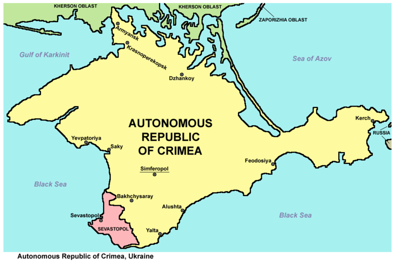
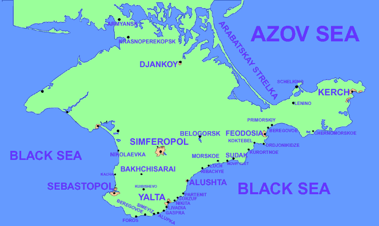
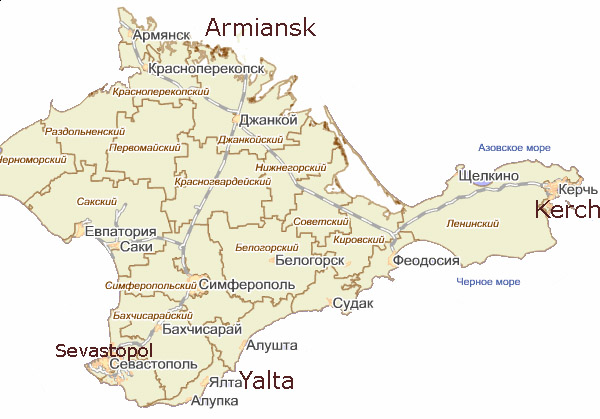
English: Map of the Autonomous Republic of Crimea and of Sevastopol, Ukraine.
Français : Carte de la République autonome de Crimée et de Sébastopol, Ukraine. Српски / srpski: Мапа Аутономне Републике Крим и Севастопоља, Украјина. |
| Date | |
| Source | Own work |
| Author | PANONIAN |
| Other versions |
         |
Licensing[edit]
I, the copyright holder of this work, hereby publish it under the following license:
| This file is made available under the Creative Commons CC0 1.0 Universal Public Domain Dedication. | |
| The person who associated a work with this deed has dedicated the work to the public domain by waiving all of their rights to the work worldwide under copyright law, including all related and neighboring rights, to the extent allowed by law. You can copy, modify, distribute and perform the work, even for commercial purposes, all without asking permission.
|
References[edit]
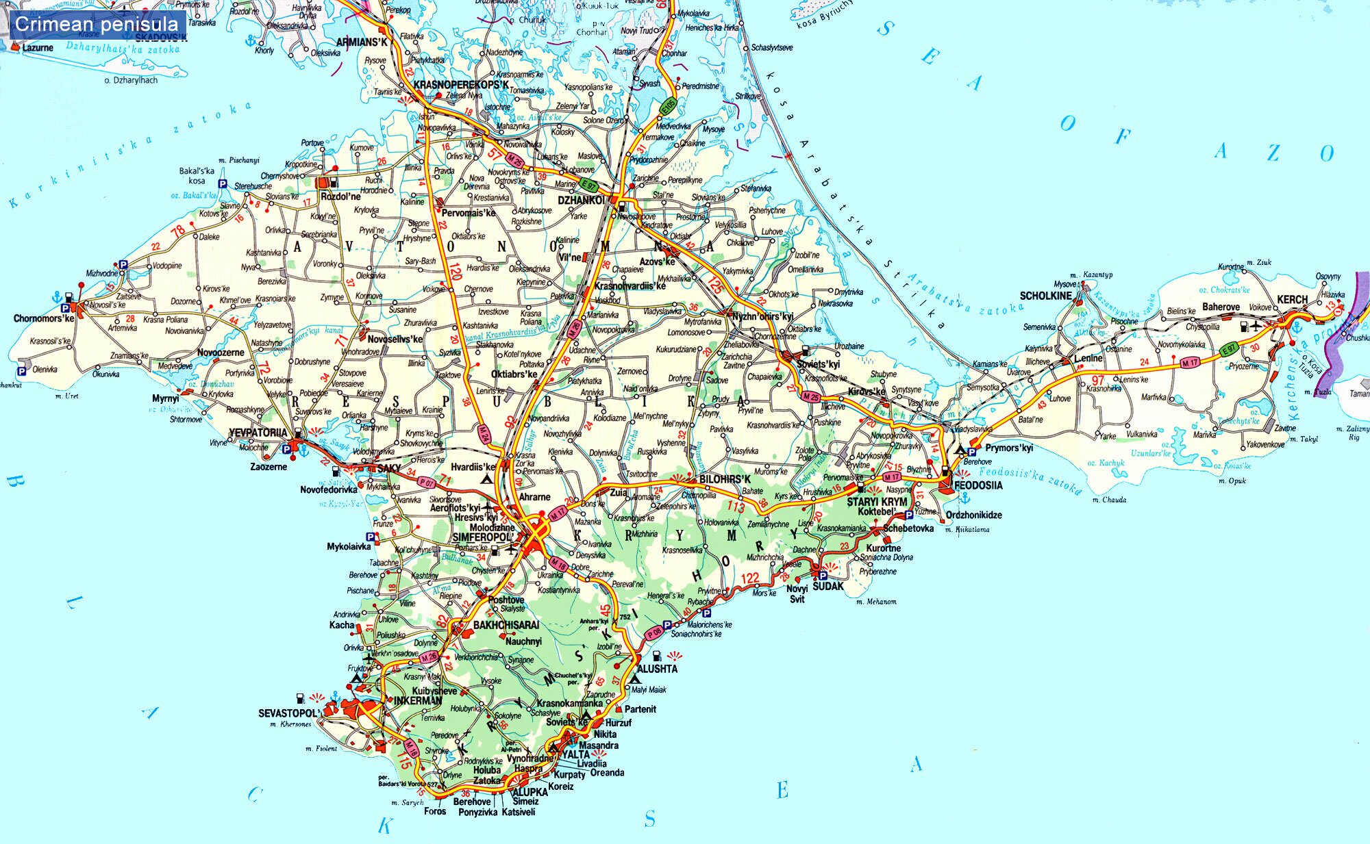
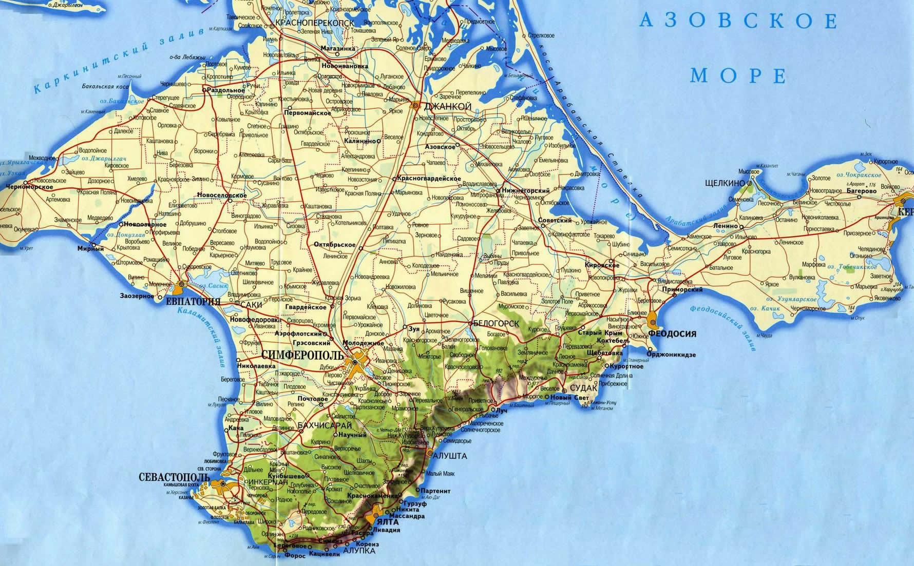
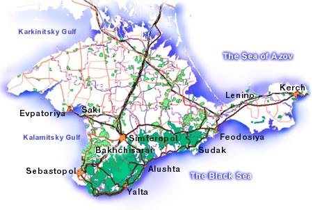
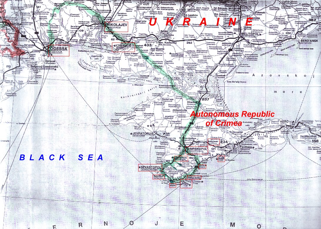
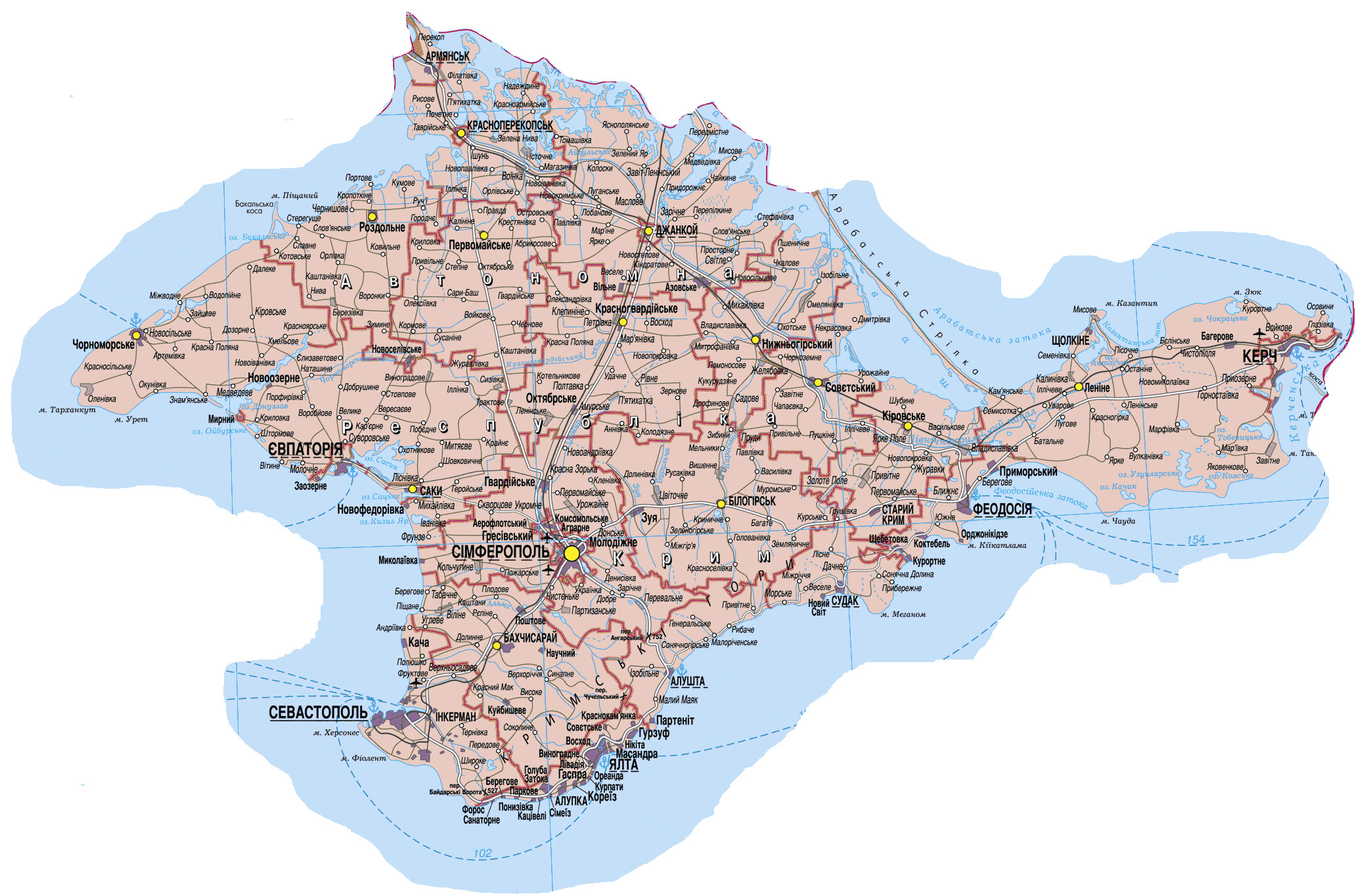
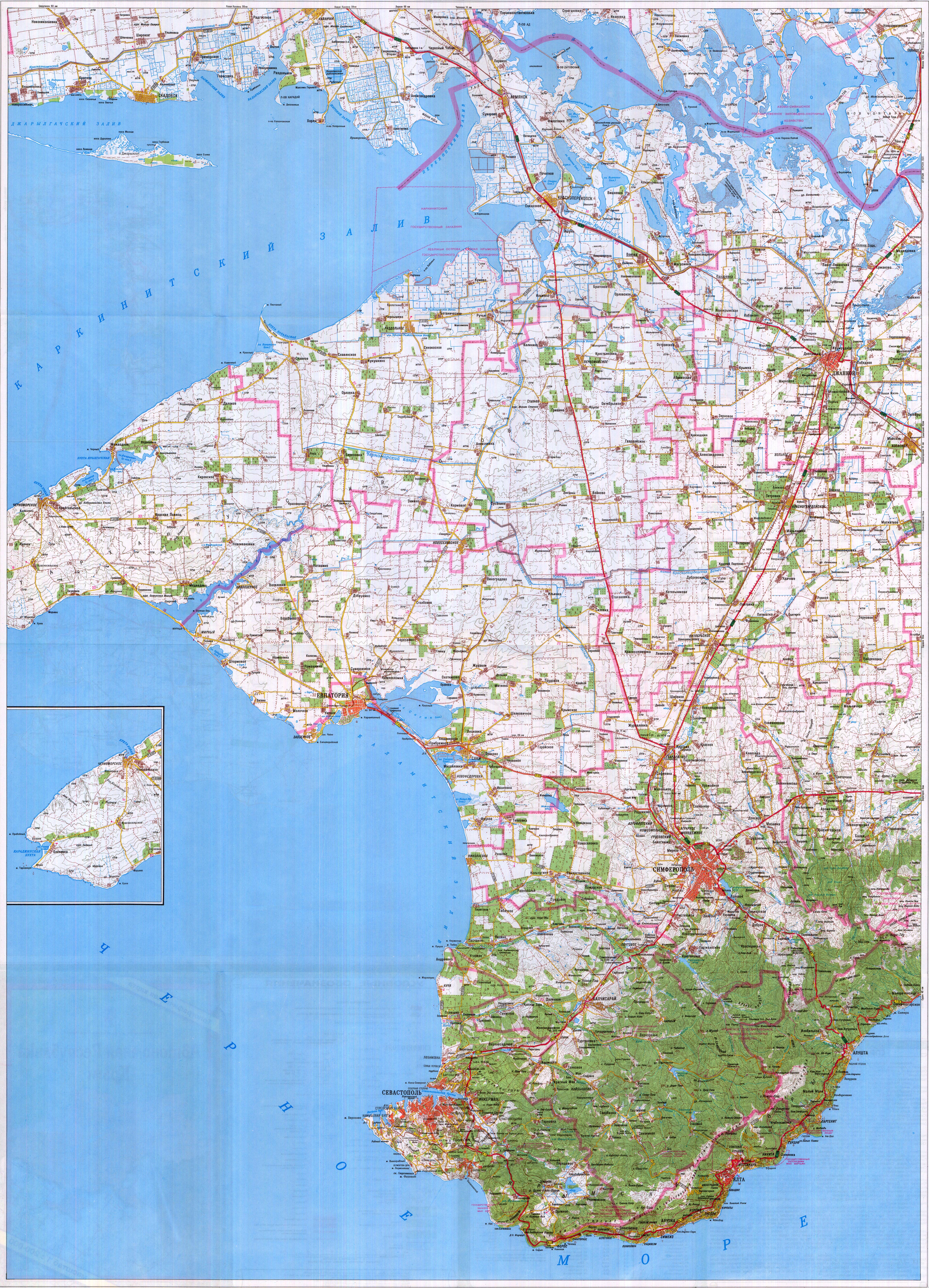
Maps from external links - entire Crimea:
- http://eurodialogue.org/files/fckeditor_files/crimea-map.gif
- http://www.lonelyplanet.com/maps/europe/ukraine/crimea/map_of_crimea.jpg
- http://www.rentmyflatinfeodosia.com/feodosia_guide/images/crimea_map2.jpg
- http://www.ukraine-travels.com/ukrainian-cities/images/crimea/crimea-map-s.jpg
- http://www.ua-business.com.ua/wp-content/uploads/2010/04/Canadian-investment-to-Crimea.jpg
- http://www.perekop.net/wp-content/uploads/crimea-map.gif
- http://mappery.com/maps/Crimea-Peninsula-Map.jpg
- http://www.globalsecurity.org/military/world/ukraine/images/crimea-map1.jpg
- http://www.riverofjoy-crimea.org/sitebuilder/images/Light_of_Crimea_TOPOGRAPHICAL_MAP_w_callouts-816x660.jpg
- http://www.mt.crimea.com/image/map_of_crimea.gif
- http://travel.kyiv.org/crimea/map/crimea_l.gif
- http://www.accesscrimea.com/images/map_crimeaprev.gif
- http://www.discover-ua.info/uploads/images/Crimea/map_of_crimea.gif
- http://www.nlminfo.org/userfiles/Image/map%20crimea0201.jpg archive copy at the Wayback Machine
- http://www.crimeamap.com/crimea_images/colorcrimeamap600x450-2.jpg archive copy at the Wayback Machine
- http://ruraltourism.com.ua/uploads/Image/oblast/eng/01.jpg
- http://www.oocities.org/new11world/crimea_map_en.jpg
- http://www.crimeahike.com/images/Crimea_Map_en.jpg archive copy at the Wayback Machine
- http://1.bp.blogspot.com/_-IladB6V24I/SPlo3CapnxI/AAAAAAAAB_E/OyjdgvtBpgU/s400/03.MapCrimea.Added..jpg
- http://weecheng.com/europe/bbs/crimea/crimea-map.jpg
- http://www.travel2crimea.com/image/common/map_of_crimea.png archive copy at the Wayback Machine
- http://www.mapofukraine.net/outdoor_activities/image/rockclimbing/crimea_climbing_map.gif
- http://novaonline.nvcc.edu/eli/evans/Photos/Russia/Yalta/Map.jpg
- http://www.ukrainebiz.com/maps/road_crimea.jpg
- http://coolhaus.de/misc/crimea-map.jpg
- http://russia-map.info/559885_BIG_0_0.jpg
- http://siriys-info.com/uploads/map/map1-crimea-full.jpg[dead link]
- http://siriys-info.com/uploads/map/map3-crimea-full.gif archive copy at the Wayback Machine
- http://siriys-info.com/uploads/map/map2-crimea-full.gif[dead link]
- http://vhodv.com/map/images/map_krym_b.jpg archive copy at the Wayback Machine
- http://our-travels.sumy.ua/ost/foto/Krym/135.jpg[dead link]
- http://www.raster-maps.com/images/maps/rastr/ukraine/atlas/crimea_karta.jpg
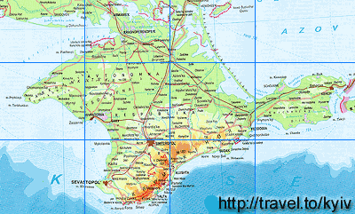
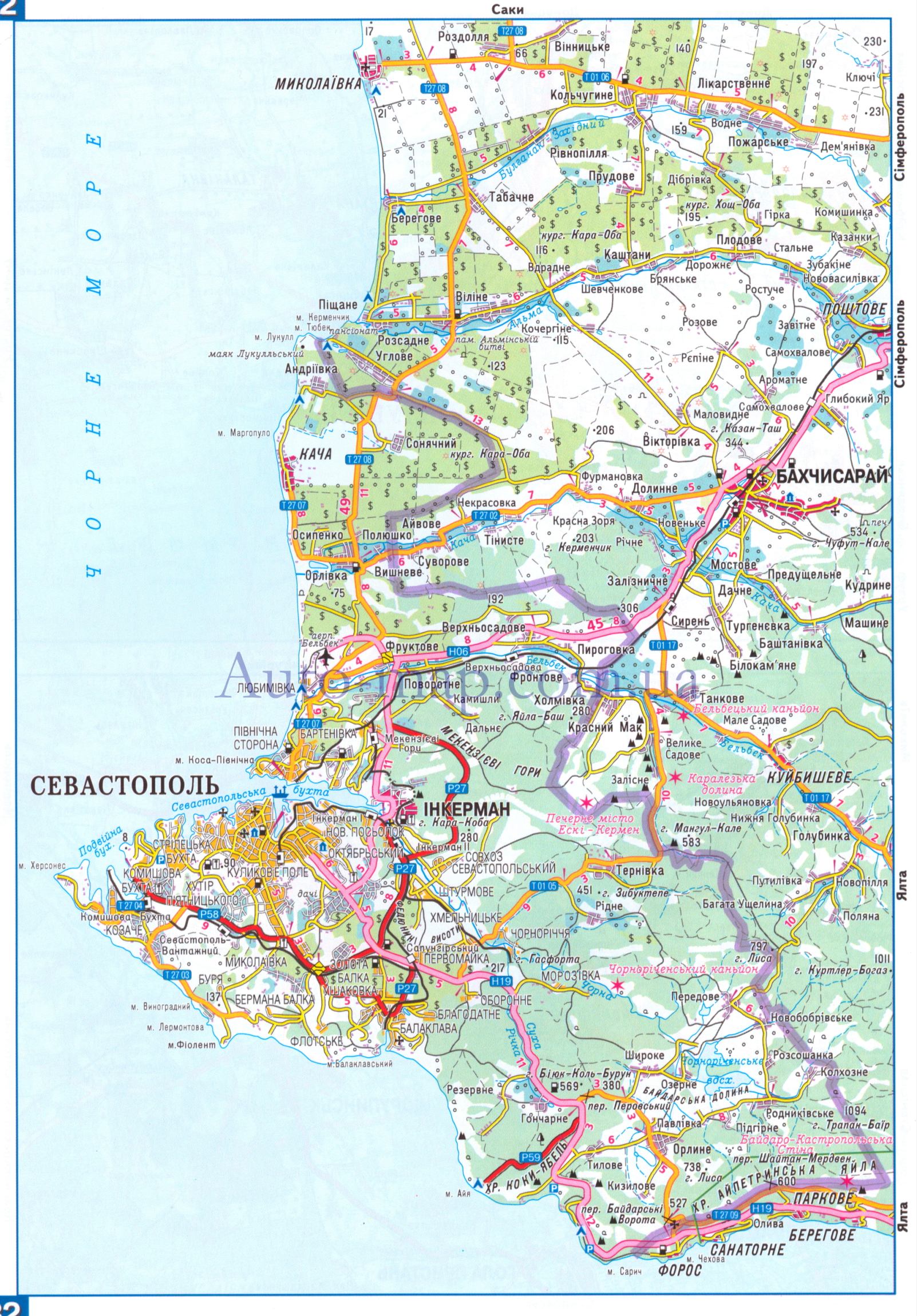
Maps from external links - Sevastopol municipality:
- http://siriys-info.com/uploads/map/map1-crimea-full.jpg[dead link]
- http://novaonline.nvcc.edu/eli/evans/Photos/Russia/Yalta/Map.jpg
- http://auto-map.com.ua/379819_BIG_0_0.jpg
- http://www.justmaps.org/maps/images/ukraine/sevastopol-map2.jpg
- http://vhodv.com/map/images/map_krym_b.jpg archive copy at the Wayback Machine
- http://www.raster-maps.com/images/maps/rastr/topographical/ukraine_oblast/krym_1.jpg
- http://blogto4ka.ru/wp-content/uploads/otdyh-v-solnechnogorskom-krym.gif
- http://4.bp.blogspot.com/-oqx_mnOV1P0/TpShYOsfpSI/AAAAAAAAE3c/HYi-YZL7IqY/s1600/Krym+trasa.jpg archive copy at the Wayback Machine
- http://our-travels.sumy.ua/ost/foto/Krym/135.jpg[dead link]
- http://www.raster-maps.com/images/maps/rastr/ukraine/atlas/crimea_karta.jpg
Largest cities and towns in Crimea:
File history
Click on a date/time to view the file as it appeared at that time.
| Date/Time | Thumbnail | Dimensions | User | Comment | |
|---|---|---|---|---|---|
| current | 20:27, 19 March 2014 | | 1,031 × 684 (65 KB) | PANONIAN (talk | contribs) | more detailed description |
| 14:24, 19 March 2014 |  | 1,031 × 684 (61 KB) | PANONIAN (talk | contribs) | added label "Ukraine". I will also upload another file which represents opposite view point | |
| 05:26, 3 March 2014 |  | 1,031 × 684 (61 KB) | PANONIAN (talk | contribs) | Reverted to version as of 09:53, 6 September 2012 - revert per talk, please upload your version under different name | |
| 21:32, 2 March 2014 |  | 1,013 × 650 (18 KB) | Ras67 (talk | contribs) | cropped, opt. | |
| 09:53, 6 September 2012 |  | 1,031 × 684 (61 KB) | PANONIAN (talk | contribs) | corrected Sevastopol border | |
| 11:55, 30 August 2012 |  | 1,031 × 684 (60 KB) | PANONIAN (talk | contribs) | {{Information |Description=Map of the Autonomous Republic Crimea, Ukraine. |Source={{own}} |Date=2012 |Author= PANONIAN |Permission= |other_versions= }} |
You cannot overwrite this file.
File usage on Commons
The following 7 pages use this file:
File usage on other wikis
The following other wikis use this file:
- Usage on af.wikipedia.org
- Usage on an.wikipedia.org
- Usage on arz.wikipedia.org
- Usage on be-tarask.wikipedia.org
- Usage on crh.wikipedia.org
- Usage on cs.wikipedia.org
- Usage on da.wikipedia.org
- Usage on dsb.wikipedia.org
- Usage on en.wikipedia.org
- Usage on en.wikinews.org
- Usage on es.wikipedia.org
- Usage on et.wikipedia.org
- Usage on fa.wikipedia.org
- Usage on fi.wikipedia.org
- Usage on fr.wikipedia.org
- Usage on got.wikipedia.org
- Usage on hi.wikipedia.org
- Usage on hr.wikipedia.org
- Usage on hsb.wikipedia.org
- Usage on hy.wikipedia.org
- Usage on hyw.wikipedia.org
- Usage on io.wikipedia.org
- Usage on is.wikipedia.org
- Usage on it.wikipedia.org
- Usage on ja.wikipedia.org
- Usage on ko.wikipedia.org
- Usage on lbe.wikipedia.org
- Usage on ms.wikipedia.org
- Usage on no.wikipedia.org
- Usage on pnb.wikipedia.org
- Usage on pt.wikipedia.org
- Usage on ro.wikinews.org
- Usage on sc.wikipedia.org
- Usage on sh.wikipedia.org
- Usage on sk.wikipedia.org
- Usage on sl.wikipedia.org
View more global usage of this file.