File:Jan Mayen location map.svg
Jump to navigation
Jump to search

Size of this PNG preview of this SVG file: 683 × 599 pixels. Other resolutions: 274 × 240 pixels | 547 × 480 pixels | 875 × 768 pixels | 1,167 × 1,024 pixels | 2,334 × 2,048 pixels | 1,266 × 1,111 pixels.
Original file (SVG file, nominally 1,266 × 1,111 pixels, file size: 646 KB)
Captions
Captions
Add a one-line explanation of what this file represents
Summary[edit]
| Camera location | | View this and other nearby images on: OpenStreetMap |
|---|
| Description |
Deutsch: Positionskarte von Jan Mayen
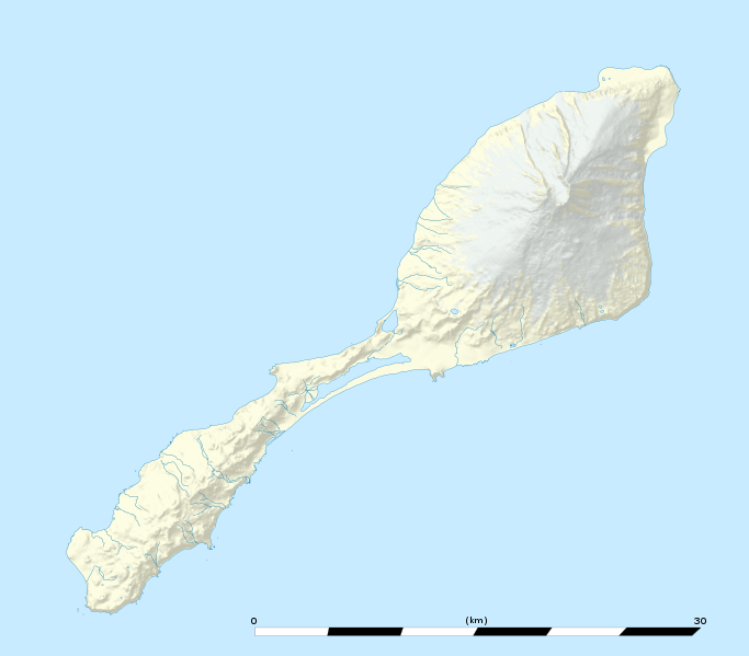
English: Blank location map of Jan Mayen island, Norway.
Note: The shaded relief is a raster image embedded in the SVG file. Français : Carte administrative vierge de l’île Jan Mayen, Norvège, destinée à la géolocalisation. Note : les ombres du relief sont une image bitmap embarquée dans le fichier SVG. Scale: 1:160,000 (precision: 40 m)
Geographic limits of the map:
|
|||||||||
| Date | ||||||||||
| Source |
data: Norwegian Polar Institute (CC-BY 4.0) |
|||||||||
| Author | Eric Gaba (Sting - fr:Sting) | |||||||||
| Permission (Reusing this file) |
|
|||||||||
| Other versions |
|
|||||||||

Licensing[edit]
I, the copyright holder of this work, hereby publish it under the following license:
This file is licensed under the Creative Commons Attribution-Share Alike 4.0 International license.
- You are free:
- to share – to copy, distribute and transmit the work
- to remix – to adapt the work
- Under the following conditions:
- attribution – You must give appropriate credit, provide a link to the license, and indicate if changes were made. You may do so in any reasonable manner, but not in any way that suggests the licensor endorses you or your use.
- share alike – If you remix, transform, or build upon the material, you must distribute your contributions under the same or compatible license as the original.
File history
Click on a date/time to view the file as it appeared at that time.
| Date/Time | Thumbnail | Dimensions | User | Comment | |
|---|---|---|---|---|---|
| current | 15:50, 22 June 2017 | | 1,266 × 1,111 (646 KB) | Sting (talk | contribs) | Shadded relief opacity |
| 15:32, 22 June 2017 |  | 1,266 × 1,111 (748 KB) | Sting (talk | contribs) | == {{int:filedesc}} == {{Location|71|00|00|N|008|30|00|W|scale:300000}} {{Information |Description= {{de|Positionskarte von Jan Mayen}} {{en|Blank location map of Jan Mayen island}} {{fr|Carte administrative vierge d... |
You cannot overwrite this file.
File usage on Commons
The following 2 pages use this file:
File usage on other wikis
The following other wikis use this file:
- Usage on bn.wikipedia.org
- Usage on en.wikipedia.org
- Usage on fr.wikipedia.org
- Usage on it.wikipedia.org
- Usage on it.wikivoyage.org
- Usage on ja.wikipedia.org
- Usage on lv.wikipedia.org
- Usage on no.wikipedia.org
- Usage on si.wikipedia.org
- Usage on uz.wikipedia.org