File:Czech Republic location map.svg
Jump to navigation
Jump to search

Size of this PNG preview of this SVG file: 800 × 487 pixels. Other resolutions: 320 × 195 pixels | 640 × 389 pixels | 1,024 × 623 pixels | 1,280 × 779 pixels | 2,560 × 1,558 pixels | 1,004 × 611 pixels.
Original file (SVG file, nominally 1,004 × 611 pixels, file size: 152 KB)
Captions
Captions
Add a one-line explanation of what this file represents
Summary[edit]
| Description |
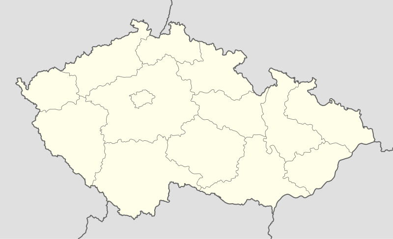
Deutsch: Positionskarte von Tschechien
Quadratische Plattkarte, N-S-Streckung 150 %. Geographische Begrenzung der Karte:
English: Location map of the Czech Republic
Equirectangular projection, N/S stretching 150 %. Geographic limits of the map:
|
| Date | |
| Source | own work, using United States National Imagery and Mapping Agency data |
| Author | Lencer |

|
This map has been made or improved in the German Kartenwerkstatt (Map Lab). You can propose maps to improve as well.
|
Licensing[edit]
I, the copyright holder of this work, hereby publish it under the following licenses:

|
Permission is granted to copy, distribute and/or modify this document under the terms of the GNU Free Documentation License, Version 1.2 or any later version published by the Free Software Foundation; with no Invariant Sections, no Front-Cover Texts, and no Back-Cover Texts. A copy of the license is included in the section entitled GNU Free Documentation License. |
This file is licensed under the Creative Commons Attribution-Share Alike 3.0 Unported license.
- You are free:
- to share – to copy, distribute and transmit the work
- to remix – to adapt the work
- Under the following conditions:
- attribution – You must give appropriate credit, provide a link to the license, and indicate if changes were made. You may do so in any reasonable manner, but not in any way that suggests the licensor endorses you or your use.
- share alike – If you remix, transform, or build upon the material, you must distribute your contributions under the same or compatible license as the original.
You may select the license of your choice.
File history
Click on a date/time to view the file as it appeared at that time.
| Date/Time | Thumbnail | Dimensions | User | Comment | |
|---|---|---|---|---|---|
| current | 12:30, 2 October 2012 | | 1,004 × 611 (152 KB) | Palosirkka (talk | contribs) | Reverted to version as of 20:07, 22 July 2009 Location maps must remain very accurate |
| 11:47, 2 October 2012 |  | 1,005 × 611 (72 KB) | Palosirkka (talk | contribs) | Scrubbed with http://codedread.com/scour/ | |
| 20:07, 22 July 2009 |  | 1,004 × 611 (152 KB) | Egg (talk | contribs) | Removed unnecessary XML elements. | |
| 18:53, 5 September 2008 |  | 1,004 × 611 (155 KB) | Lencer (talk | contribs) | {{Information |Description= |Source= |Date= |Author= |Permission= |other_versions= }} | |
| 12:16, 16 August 2008 |  | 1,004 × 611 (157 KB) | Lencer (talk | contribs) | {{Information |Description= |Source= |Date= |Author= |Permission= |other_versions= }} | |
| 08:10, 24 July 2008 |  | 596 × 362 (151 KB) | NordNordWest (talk | contribs) | {{Information |Description= {{de|Positionskarte von Tschechien}} Quadratische Plattkarte, N-S-Streckung 150 %. Geographische Begrenzung der Karte: * N: 51.3° N * S: 48.3° N * W: 11.8° O * O: 19.2° O {{en|Location map of the |
You cannot overwrite this file.
File usage on Commons
The following 17 pages use this file:
- Česko
- User:Frettiebot/Galleries/Egg/2009/7
- File:Hlavní mesto Praha in Czech Republic.svg
- File:Jihoceský kraj in Czech Republic.svg
- File:Jihomoravský kraj in Czech Republic.svg
- File:Karlovarský kraj in Czech Republic.svg
- File:Kraj Vysocina in Czech Republic.svg
- File:Královéhradecký kraj in Czech Republic.svg
- File:Liberecký kraj in Czech Republic.svg
- File:Moravskoslezský kraj in Czech Republic.svg
- File:Olomoucký kraj in Czech Republic.svg
- File:Pardubický kraj in Czech Republic.svg
- File:Plzenský kraj in Czech Republic.svg
- File:Stredoceský kraj in Czech Republic.svg
- File:Zlínský kraj in Czech Republic.svg
- File:Ústecký kraj in Czech Republic.svg
- Category:Czech Republic
File usage on other wikis
The following other wikis use this file:
- Usage on arz.wikipedia.org
- Usage on bg.wikipedia.org
- Usage on bn.wikipedia.org
- Usage on bs.wikipedia.org
- Usage on ckb.wikipedia.org
- Usage on cs.wikipedia.org
- 1. česká fotbalová liga
- Česká hokejová extraliga 1999/2000
- Česká hokejová extraliga 2000/2001
- Česká hokejová extraliga 2001/2002
- Česká hokejová extraliga 2002/2003
- Česká hokejová extraliga 2003/2004
- Česká hokejová extraliga 2004/2005
- Česká hokejová extraliga 2005/2006
- Česká hokejová extraliga 2006/2007
- Česká hokejová extraliga 2007/2008
- 2. česká hokejová liga 1994/1995
- 2. česká hokejová liga 1993/1994
- 2. česká hokejová liga 1995/1996
- 2. česká hokejová liga 1996/1997
- 2. česká hokejová liga 1997/1998
- 2. česká hokejová liga 1998/1999
- 2. česká hokejová liga 1999/2000
- 2. česká hokejová liga 2000/2001
- 2. česká hokejová liga 2001/2002
- Česká hokejová extraliga 2008/2009
- Česká hokejová extraliga 2009/2010
- Česká hokejová extraliga 2010/2011
- 2. česká hokejová liga 2011/2012
- 1. česká hokejová liga 2011/2012
- Česká hokejová extraliga 2011/2012
- Česká hokejová extraliga 2012/2013
- 1. česká hokejová liga 2012/2013
- Česká fotbalová liga 2012/2013
- 2. česká hokejová liga 2012/2013
- Extraliga hokejbalu 2012/2013
- 1. česká hokejová liga 2013/2014
- Česká hokejová extraliga 2013/2014
- Juniorská liga 2012/2013
- Juniorská liga 2013/2014
- 2. česká hokejová liga 2013/2014
- Česká fotbalová liga 2013/2014
- Wikipedie:Mediagrant/Události/Cíle
- CCM extraliga inline hokeje 2014
- Extraliga hokejbalu 2013/2014
View more global usage of this file.